Download
Preview
Add to list
More
34.1 km
~9 hrs 18 min
1490 m
Point-to-Point
“Embark on the scenic Minehead to Lynmouth Walk, offering coastal beauty, historical charm, and moderate hiking challenges.”
Starting near the charming town of Minehead in Somerset, England, the Minehead to Lynmouth Walk spans approximately 34 kilometers (21 miles) with an elevation gain of around 1400 meters (4593 feet). This point-to-point trail is rated as medium difficulty, making it suitable for moderately experienced hikers.
Getting There
To reach the trailhead, you can either drive or use public transport. If driving, head towards Minehead, where parking is available near the seafront. For those using public transport, Minehead is accessible by bus from Taunton, which has a mainline train station connecting to various parts of the UK.
Trail Overview
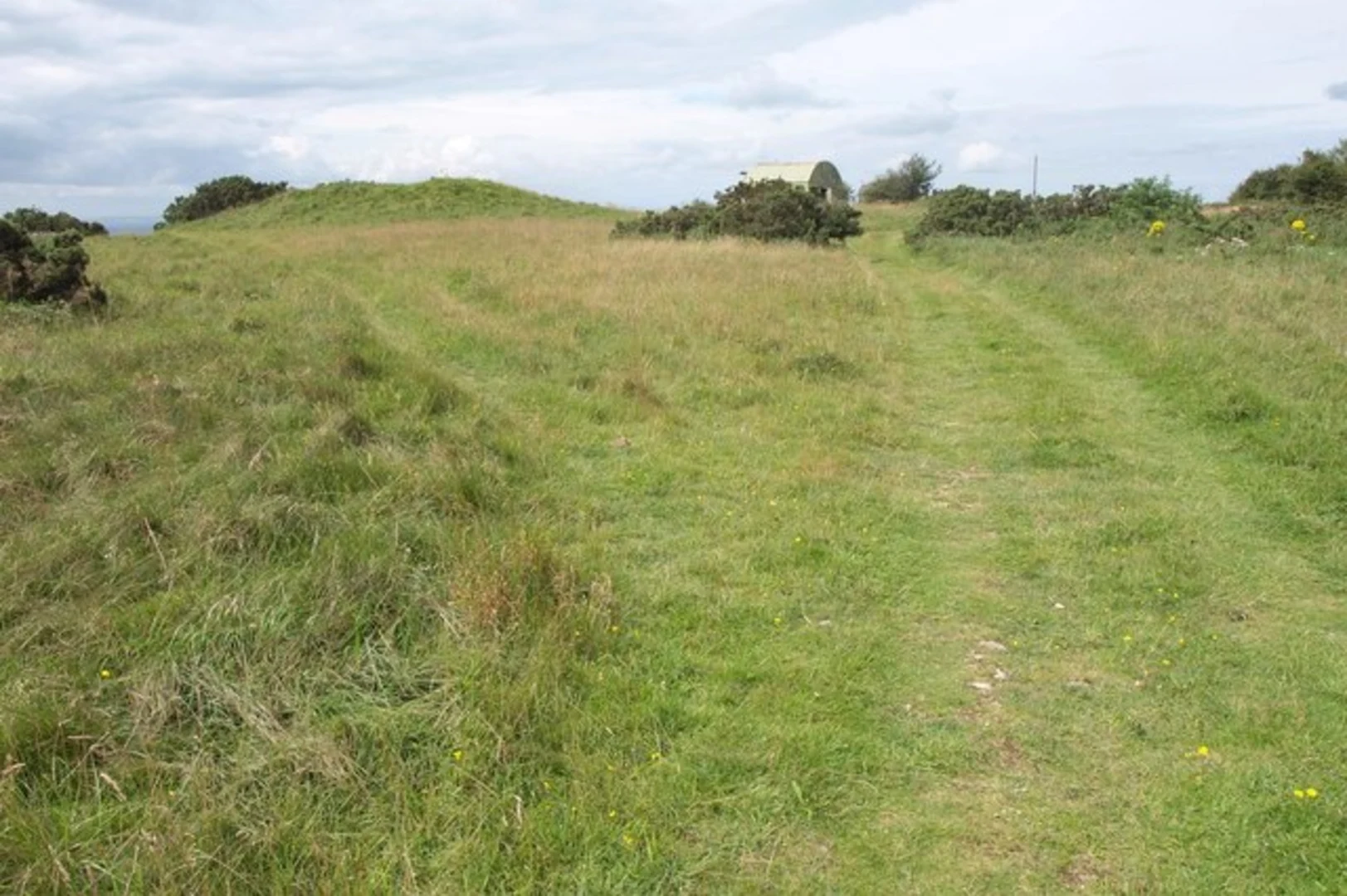
The trail begins in Minehead, a coastal town known for its picturesque harbor and the historic West Somerset Railway. As you set off, you'll be greeted by the sight of the South West Coast Path's starting marker, a significant landmark indicating the beginning of this iconic long-distance trail.
Key Sections and Landmarks
Minehead to Porlock
The first section of the trail takes you from Minehead to Porlock, covering approximately 13 kilometers (8 miles) with an elevation gain of about 400 meters (1312 feet). This part of the trail offers stunning coastal views and passes through Exmoor National Park. Keep an eye out for the rugged cliffs and the diverse wildlife, including red deer and Exmoor ponies.
Porlock to Countisbury
From Porlock, the trail continues to Countisbury, a distance of around 11 kilometers (7 miles) with an elevation gain of 500 meters (1640 feet). This section is particularly scenic, featuring the dramatic coastline and the lush, wooded valleys of Exmoor. Historical landmarks include the ancient Porlock Weir, a small harbor with a history dating back to the 15th century.
Countisbury to Lynmouth
The final stretch from Countisbury to Lynmouth is approximately 10 kilometers (6 miles) with an elevation gain of 500 meters (1640 feet). This part of the trail is known for its steep climbs and descents, offering panoramic views of the Bristol Channel. As you approach Lynmouth, you'll pass through the Valley of Rocks, a unique geological formation with towering rock spires and a resident herd of feral goats.
Navigation and Safety
For navigation, it's highly recommended to use the HiiKER app, which provides detailed maps and real-time updates. The trail is well-marked, but having a reliable navigation tool ensures you stay on track, especially in the more remote sections.
Flora and Fauna
Throughout the hike, you'll encounter a variety of flora and fauna. The coastal sections are home to seabirds like gulls and cormorants, while the inland areas of Exmoor are rich with heather, gorse, and ancient oak woodlands. The diverse habitats support a range of wildlife, from butterflies and dragonflies to larger mammals like badgers and foxes.
Historical Significance
The region is steeped in history, with numerous ancient sites and landmarks. The trail itself follows part of the South West Coast Path, which has been used for centuries by fishermen, smugglers, and traders. Along the way, you'll find remnants of old lime kilns, signaling the area's industrial past, and the picturesque villages of Porlock and Lynmouth, which have retained much of their historical charm.
Practical Tips
- Water and Food: Ensure you carry enough water and snacks, as there are limited facilities along the trail.
- Weather: The weather can be unpredictable, so pack layers and waterproof gear.
- Footwear: Sturdy hiking boots are essential due to the varied terrain and elevation changes.
- Accommodation: If planning to stay overnight, book accommodations in advance, especially during peak seasons.
This trail offers a blend of natural beauty, historical intrigue, and physical challenge, making it a rewarding experience for those who undertake it.

What to expect?
Activity types
Comments and Reviews
User comments, reviews and discussions about the Minehead to Lynmouth Walk, England.
4.8
average rating out of 5
5 rating(s)