Download
Preview
Add to list
More
10.5 km
~2 hrs 42 min
363 m
Loop
“Explore history and nature on North Yorkshire's 10 km Providence Lead Mine and Charley Wood Loop trail.”
Starting near North Yorkshire, England, the Providence Lead Mine and Charley Wood Loop is a captivating 10 km (6.2 miles) loop trail with an elevation gain of approximately 300 meters (984 feet). This medium-difficulty trail offers a blend of historical intrigue and natural beauty, making it a rewarding experience for hikers.
Getting There
To reach the trailhead, you can drive or use public transport. If driving, set your GPS to the nearest known address: the village of Pateley Bridge, North Yorkshire. From there, follow local signage to the trailhead. For those using public transport, the nearest significant landmark is the Pateley Bridge bus station, which is well-connected by buses from Harrogate. From the bus station, it's a short walk to the trailhead.
Trail Overview
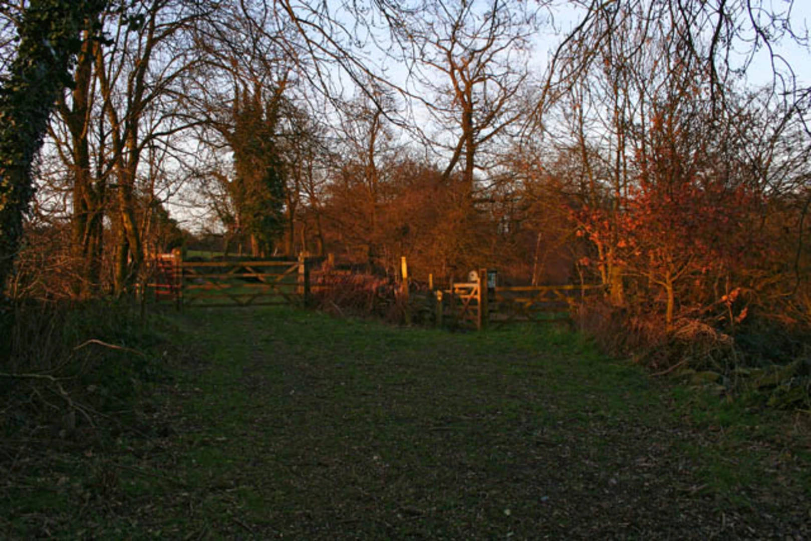
The trail begins with a gentle ascent through lush woodlands, offering a serene start to your hike. As you progress, you'll encounter the remnants of the Providence Lead Mine, a significant historical site. This mine was operational during the 19th century and played a crucial role in the local economy. The ruins and interpretive signs provide a fascinating glimpse into the area's industrial past.
Key Landmarks and Nature
#### Providence Lead Mine
Approximately 2 km (1.2 miles) into the hike, you'll reach the Providence Lead Mine. Here, you can explore the old mine shafts and machinery remnants. The site is well-marked, and informational plaques offer insights into the mining techniques and the lives of the miners who worked here.
#### Charley Wood
Continuing on, the trail meanders through Charley Wood, a dense forest area rich in biodiversity. This section is particularly beautiful in the spring and autumn when the foliage is at its most vibrant. Keep an eye out for local wildlife, including deer, foxes, and a variety of bird species. The forest floor is often carpeted with wildflowers, adding a splash of color to your hike.
Elevation and Terrain
The trail features a mix of terrains, from well-trodden paths to rocky sections. The elevation gain is gradual but steady, with the most significant climb occurring around the 5 km (3.1 miles) mark. Here, you'll ascend approximately 150 meters (492 feet) over a distance of 1 km (0.6 miles), offering a moderate challenge. The summit provides panoramic views of the surrounding countryside, making the effort well worth it.
Navigation and Safety
For navigation, it's highly recommended to use the HiiKER app, which provides detailed maps and real-time GPS tracking. The trail is generally well-marked, but having a reliable navigation tool will ensure you stay on course.
Final Stretch
The descent begins around the 7 km (4.3 miles) point, leading you back through open meadows and past small streams. This section is relatively easy, allowing you to enjoy the scenic views and perhaps spot some more wildlife. The final 2 km (1.2 miles) bring you back to the trailhead, completing the loop.
Practical Tips
- Wear sturdy hiking boots, as some sections can be rocky and uneven. - Bring sufficient water and snacks, especially if you plan to explore the mine area in detail. - Check the weather forecast before heading out, as the trail can become slippery in wet conditions. - Be mindful of local wildlife and maintain a respectful distance.
This trail offers a perfect blend of history, nature, and moderate physical challenge, making it an excellent choice for a day hike in North Yorkshire.

What to expect?
Activity types
Comments and Reviews
User comments, reviews and discussions about the Providence Lead Mine and Charley Wood Loop, England.
4.2
average rating out of 5
5 rating(s)