Download
Preview
Add to list
More
20.4 km
~5 hrs 22 min
771 m
Point-to-Point
“Explore a charming 20 km trail in Yorkshire Dales, rich in natural beauty, history, and moderate challenges.”
Starting near the charming village of Hawes in North Yorkshire, England, this 20 km (approximately 12.4 miles) point-to-point trail offers a delightful mix of natural beauty, historical landmarks, and moderate physical challenge. With an elevation gain of around 700 meters (approximately 2,300 feet), hikers can expect a rewarding journey through the picturesque Yorkshire Dales.
Getting There
To reach the trailhead in Hawes, you can either drive or use public transport. If driving, Hawes is accessible via the A684 road. For those relying on public transport, regular bus services connect Hawes with nearby towns such as Leyburn and Garsdale, where you can find train stations linking to larger cities like Leeds and Carlisle.
Trail Overview
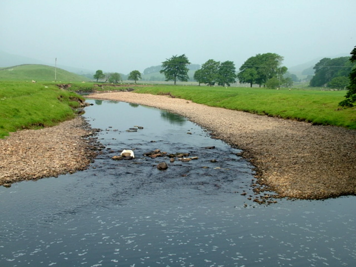
The trail begins in Hawes, a quaint market town known for its Wensleydale cheese. As you set off, you'll quickly find yourself immersed in the rolling hills and lush meadows characteristic of the Yorkshire Dales. The initial part of the trail is relatively gentle, allowing you to ease into the hike while enjoying the serene landscape.
Landmarks and Points of Interest
Around 5 km (3.1 miles) into the hike, you'll come across Hardraw Force, England's highest single-drop waterfall. This natural wonder is a must-see, and a short detour will bring you right to its base. Continuing on, the trail gradually ascends, offering panoramic views of the surrounding dales and valleys.
At approximately the 10 km (6.2 miles) mark, you'll reach Great Shunner Fell, the highest point on the trail at 716 meters (2,349 feet). The climb is steady but manageable, and the summit provides breathtaking views that make the effort worthwhile. This area is also rich in wildlife; keep an eye out for red grouse and curlews.
Historical Significance
As you descend from Great Shunner Fell, you'll pass through the remnants of old lead mining sites, a testament to the region's industrial past. These ruins offer a glimpse into the lives of miners who once toiled in these hills, adding a layer of historical depth to your hike.
Final Stretch to Keld
The final 5 km (3.1 miles) of the trail lead you through Swaledale, one of the most beautiful valleys in the Yorkshire Dales. The path here is relatively flat, allowing for a leisurely end to your hike. You'll pass through charming stone villages and verdant pastures before arriving in Keld, a small village known for its scenic waterfalls and traditional stone barns.
Navigation and Safety
Given the varied terrain and potential for rapidly changing weather conditions, it's advisable to use a reliable navigation tool like HiiKER to stay on track. Ensure you have appropriate gear, including waterproof clothing and sturdy hiking boots, as parts of the trail can be boggy, especially after rain.
This trail offers a perfect blend of natural beauty, historical intrigue, and moderate physical challenge, making it an excellent choice for hikers looking to explore the heart of the Yorkshire Dales.

What to expect?
Activity types
Comments and Reviews
User comments, reviews and discussions about the Hawes to Keld Walk, England.
4.5
average rating out of 5
4 rating(s)