Download
Preview
Add to list
More
11.1 km
~2 hrs 35 min
226 m
Loop
“Discover the Fass Gill, Kiln Hill, and Haw Crag Loop: a picturesque 11 km trail with stunning Yorkshire views.”
Starting near North Yorkshire, England, the Fass Gill, Kiln Hill, and Haw Crag Loop is a captivating 11 km (approximately 6.8 miles) trail with an elevation gain of around 200 meters (656 feet). This loop trail offers a moderate challenge, making it suitable for hikers with some experience.
Getting There To reach the trailhead, you can drive or use public transport. If driving, head towards the village of Kettlewell, which is a convenient starting point. There is parking available in the village. For those using public transport, the nearest train station is Skipton. From Skipton, you can take a bus to Kettlewell, which is well-connected by local bus services.
Trail Navigation For navigation, it is highly recommended to use the HiiKER app, which provides detailed maps and real-time updates to ensure you stay on track.
Trail Highlights and Landmarks As you begin the hike, you will first encounter Fass Gill, a picturesque stream that meanders through the landscape. The initial part of the trail follows the stream, offering serene views and the soothing sound of flowing water. This section is relatively flat, making for a gentle start.
After approximately 3 km (1.9 miles), you will start to ascend towards Kiln Hill. The climb is gradual but steady, gaining about 100 meters (328 feet) in elevation. As you reach the top, you are rewarded with panoramic views of the surrounding countryside. Kiln Hill is a great spot for a short break and some photography.
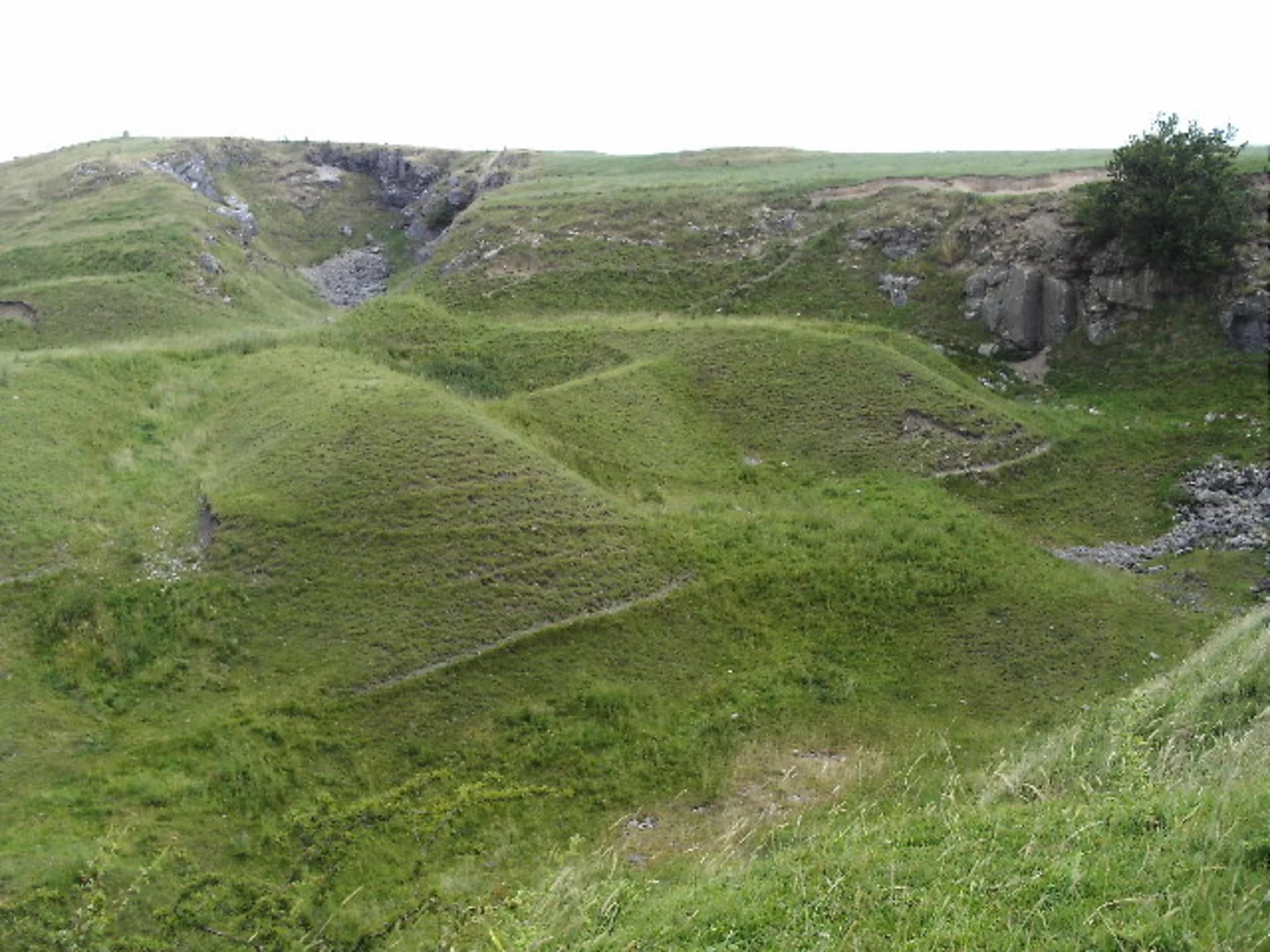
Continuing on, the trail leads you towards Haw Crag. This section involves a bit more climbing, adding another 100 meters (328 feet) in elevation gain. Haw Crag is known for its rugged terrain and striking rock formations. The crag offers a fantastic vantage point to take in the expansive views of the Yorkshire Dales.
Nature and Wildlife The trail is rich in natural beauty, with diverse flora and fauna. Depending on the season, you may encounter wildflowers, heather, and various bird species. Keep an eye out for red grouse and curlews, which are common in this area. The landscape is a mix of open moorland and wooded areas, providing a varied hiking experience.
Historical Significance The region around Kettlewell has a rich history, with evidence of human settlement dating back to the Bronze Age. The village itself is steeped in history, with traditional stone buildings and narrow streets that have remained largely unchanged for centuries. As you hike, you may come across old stone walls and remnants of ancient farming practices, offering a glimpse into the area's past.
Final Stretch The final part of the loop descends back towards Kettlewell. This section is relatively easy, allowing you to enjoy the views and reflect on the hike. The descent is gentle, making for a pleasant end to the trail.
Practical Tips - Wear sturdy hiking boots, as the terrain can be uneven and rocky in places. - Bring sufficient water and snacks, especially if hiking in warmer weather. - Check the weather forecast before setting out, as conditions can change rapidly in the Yorkshire Dales. - Use the HiiKER app for navigation to ensure you stay on the correct path.
This trail offers a perfect blend of natural beauty, moderate challenge, and historical intrigue, making it a rewarding experience for any hiker.

What to expect?
Activity types
Comments and Reviews
User comments, reviews and discussions about the Fass Gill, Kiln Hill and Haw Crag Loop, England.
4.0
average rating out of 5
1 rating(s)