Download
Preview
Add to list
More
21.1 km
~4 hrs 23 min
110 m
Point-to-Point
“Discover natural beauty and historical intrigue on the moderately challenging, scenic 21 km Wherryman's Way trail.”
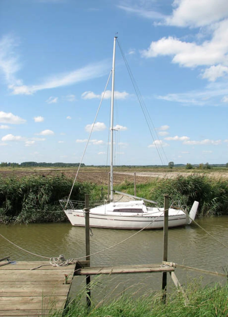
Starting near Norfolk, England, this 21 km (approximately 13 miles) point-to-point trail offers a delightful mix of natural beauty and historical intrigue. The trailhead is conveniently accessible by public transport or car. If you're driving, you can park near the Wherryman's Way car park in Loddon. For those using public transport, the nearest bus stop is in Loddon, which is well-connected to Norwich by regular bus services.### Trail OverviewThe River Yare and Hardley Flood via Wherryman's Way trail is estimated to be of medium difficulty, making it suitable for moderately experienced hikers. The total elevation gain is around 100 meters (approximately 328 feet), which is relatively gentle but still provides a good workout.### Key Landmarks and Points of Interest#### Loddon Starting from Loddon, a charming village known for its historical architecture, you'll find the 15th-century Holy Trinity Church, a beautiful example of medieval craftsmanship. As you leave Loddon, the trail follows the River Chet, a tributary of the River Yare.#### Hardley Flood Around the 8 km (5 miles) mark, you'll reach Hardley Flood, a significant wetland area. This is a haven for birdwatchers, as the flood is home to a variety of waterfowl and wading birds. Keep an eye out for avocets, marsh harriers, and bitterns. The area is also rich in plant life, with reed beds and marshland flora providing a lush backdrop.#### Wherryman's Way Continuing along Wherryman's Way, the trail meanders through picturesque countryside and alongside the River Yare. This section is particularly scenic, with expansive views of the Norfolk Broads, a network of rivers and lakes that are a designated National Park. The Broads are renowned for their unique ecosystems and are a great spot for observing local wildlife.### Historical SignificanceThe Wherryman's Way is steeped in history, named after the wherry men who navigated the Norfolk Broads in traditional sailing boats called wherries. These boats were essential for transporting goods before the advent of modern transportation. Along the trail, you'll encounter remnants of this bygone era, including old wherry moorings and historical markers that provide insight into the region's maritime heritage.### Navigation and SafetyGiven the trail's length and the potential for variable weather conditions, it's advisable to use a reliable navigation tool like HiiKER to keep track of your progress and ensure you stay on course. The trail is well-marked, but having a digital map can be invaluable, especially in more remote sections.### Wildlife and FloraThe trail offers ample opportunities to observe local wildlife. In addition to the bird species at Hardley Flood, you might spot otters along the riverbanks and various species of butterflies in the meadows. The flora is equally diverse, with wildflowers blooming in the spring and summer months, adding a splash of color to the landscape.### Getting ThereTo reach the trailhead, you can take a bus from Norwich to Loddon, which takes about 30 minutes. If you're driving, head towards the Wherryman's Way car park in Loddon, where you can leave your vehicle safely.This trail provides a wonderful blend of natural beauty, historical significance, and moderate physical challenge, making it a rewarding experience for any hiker.

What to expect?
Activity types
Comments and Reviews
User comments, reviews and discussions about the River Yare and Hardley Flood via Wherryman's Way, England.
4.5
average rating out of 5
4 rating(s)