Download
Preview
Add to list
More
15.4 km
~3 hrs 39 min
349 m
Loop
“Explore the stunning 15 km King Williams Hill and Hawes Water Loop for panoramic views and rich history.”
Starting near the picturesque village of Silverdale in Lancashire, England, the King Williams Hill and Hawes Water Loop is a captivating 15 km (approximately 9.3 miles) trail with an elevation gain of around 300 meters (984 feet). This loop trail offers a moderate challenge, making it suitable for hikers with some experience.
Getting There
To reach the trailhead, you can drive to Silverdale, which is well-connected by road. If you prefer public transport, the nearest train station is Silverdale Station, located about 1.5 km (0.9 miles) from the trailhead. From the station, you can either walk or take a local taxi to the starting point.
Trail Overview
The trail begins near Silverdale, a village known for its charming limestone pavements and rich history. As you set off, you'll quickly find yourself immersed in the natural beauty of the area. The initial part of the trail is relatively flat, allowing you to ease into the hike.
King Williams Hill
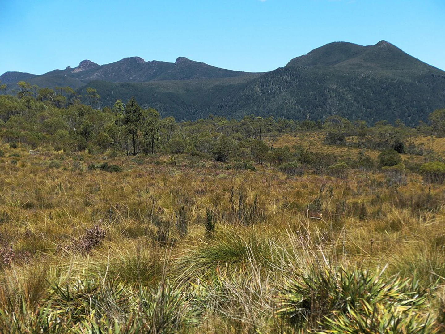
After about 3 km (1.9 miles), you'll start the ascent towards King Williams Hill. The climb is gradual but steady, gaining approximately 150 meters (492 feet) in elevation over the next 2 km (1.2 miles). As you reach the summit, you'll be rewarded with panoramic views of Morecambe Bay and the surrounding countryside. This is an excellent spot for a short break and some photography.
Hawes Water
Descending from King Williams Hill, the trail leads you towards Hawes Water, a serene and secluded lake nestled within the Gait Barrows National Nature Reserve. This section of the trail is relatively flat and spans about 4 km (2.5 miles). The area around Hawes Water is a haven for birdwatchers, with species such as the marsh harrier and bittern often spotted here. The lake itself is a Site of Special Scientific Interest (SSSI) due to its unique flora and fauna.
Historical Significance
As you continue, you'll pass through areas rich in history. The limestone pavements around Silverdale are remnants of the last Ice Age, and the region has been inhabited since prehistoric times. Keep an eye out for ancient stone walls and old farmsteads that tell the story of the area's agricultural past.
Navigation and Safety
The trail is well-marked, but it's always a good idea to have a reliable navigation tool. HiiKER is an excellent app for this purpose, providing detailed maps and real-time tracking to ensure you stay on course.
Final Stretch
The final 6 km (3.7 miles) of the loop take you through mixed woodlands and open fields, gradually descending back towards Silverdale. This part of the trail is relatively easy, allowing you to enjoy the diverse landscapes and perhaps spot some local wildlife, such as deer or foxes.
Practical Information
- Water and Snacks: There are no facilities along the trail, so bring enough water and snacks to last the entire hike.
- Footwear: Sturdy hiking boots are recommended due to the varied terrain.
- Weather: The weather can be unpredictable, so pack a waterproof jacket and check the forecast before setting out.
This trail offers a perfect blend of natural beauty, historical intrigue, and moderate physical challenge, making it a rewarding experience for any hiker.

What to expect?
Activity types
Comments and Reviews
User comments, reviews and discussions about the King Williams Hill and Hawes Water Loop, England.
4.5
average rating out of 5
4 rating(s)