Higher Wheelton to Bolton Fold via Brockholes Nature Reserve and Wild Bottom's Wood
Download
Preview
Add to list
More
25.1 km
~1 day 0 hrs
241 m
Point-to-Point
“Experience a scenic Lancashire hike blending nature's tranquility with historical echoes and diverse wildlife.”
Embarking from the quaint village of Higher Wheelton, nestled in the picturesque Lancashire countryside, hikers will find themselves on a journey that spans approximately 25 kilometers (about 15.5 miles) with an elevation gain of roughly 200 meters (around 656 feet). This point-to-point trail is a delightful medium-difficulty hike that offers a blend of natural beauty and historical intrigue.
Getting to the Trailhead
The trailhead is conveniently located near Lancashire, England. For those arriving by car, parking can be found in the vicinity of Higher Wheelton, with the exact starting point being on Blackburn Road, close to the local amenities. Public transport users can catch a bus to Higher Wheelton, which will place them within a short walk of the trail's commencement.
The Journey Through Nature
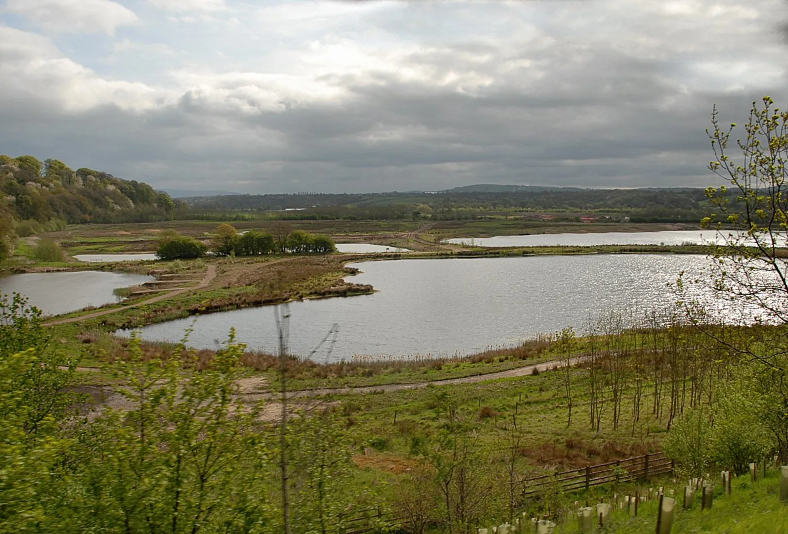
As hikers set out, they'll be greeted by the serene ambience of the English countryside. The path meanders through the charming Brockholes Nature Reserve, a haven for wildlife enthusiasts. Here, the trail is flanked by diverse habitats, including woodlands, wetlands, and meadows. Birdwatchers should keep their eyes peeled for a variety of bird species, and the reserve's ponds and lakes may offer glimpses of aquatic life.
Continuing on, the trail leads adventurers through Wild Bottom's Wood, a lush woodland area that boasts a canopy of native trees. The sounds of nature are particularly enchanting in this section, with the rustling leaves and chirping birds providing a natural soundtrack to the hike.
Historical Significance and Landmarks
The region is steeped in history, with the trail offering insights into Lancashire's past. As hikers traverse the path, they'll come across remnants of the area's industrial heritage, including old mills and the occasional disused railway line, which are echoes of the region's textile manufacturing heyday.
One of the notable historical landmarks along the route is the impressive Hoghton Tower, a fortified manor house dating back to the 16th century. Although a slight detour from the main trail, it's worth visiting for those interested in architecture and history.
Navigating the Trail
For navigation, hikers are encouraged to use the HiiKER app, which provides detailed maps and trail information to ensure a safe and enjoyable experience. The app will be particularly useful in maintaining the correct path, as the trail can be a mix of well-trodden paths and lesser-known routes.
Preparation and Considerations
Given the trail's medium difficulty rating, hikers should prepare adequately with suitable footwear, water, and provisions. The English weather can be unpredictable, so it's advisable to pack rain gear and layered clothing to adapt to changing conditions. Additionally, while the elevation gain is moderate, there are some steeper sections that will require a good level of fitness.
Wildlife and Conservation
Respect for the environment is paramount. Hikers are reminded to follow the Leave No Trace principles, ensuring that the trail remains pristine for wildlife and future visitors. The Brockholes Nature Reserve, in particular, is a conservation area, and it's important to stay on designated paths to protect the habitats within.
Conclusion
This trail from Higher Wheelton to Bolton Fold, passing through Brockholes Nature Reserve and Wild Bottom's Wood, offers a rich tapestry of natural beauty, wildlife, and a glimpse into the historical fabric of Lancashire. With careful preparation and a spirit of adventure, hikers will find this trail to be a rewarding experience that captures the essence of the English countryside.

What to expect?
Activity types
Comments and Reviews
User comments, reviews and discussions about the Higher Wheelton to Bolton Fold via Brockholes Nature Reserve and Wild Bottom's Wood, England.
4.0
average rating out of 5
3 rating(s)