Download
Preview
Add to list
More
20.9 km
~4 hrs 35 min
254 m
Point-to-Point
“Embark on a scenic 21-kilometer journey from Gisburn to Settle, blending history, wildlife, and diverse landscapes.”
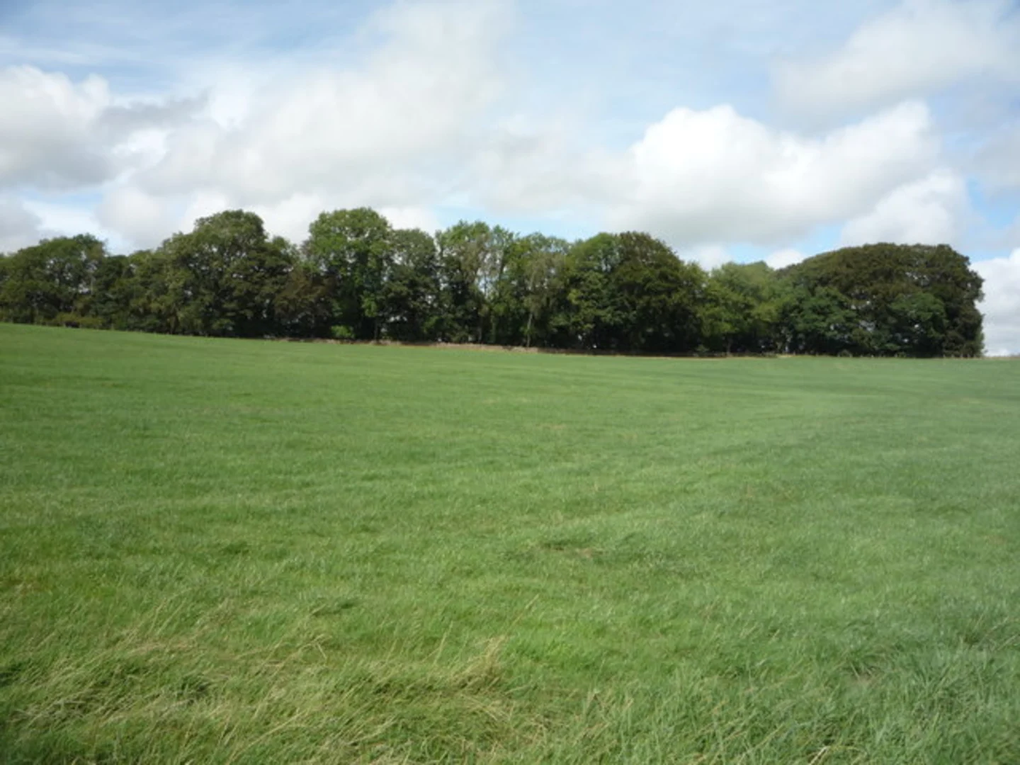
Starting near the charming village of Gisburn in Lancashire, England, the Gisburn to Settle Walk spans approximately 21 kilometers (13 miles) with an elevation gain of around 200 meters (656 feet). This point-to-point trail is rated as medium difficulty, making it suitable for moderately experienced hikers.### Getting ThereTo reach the trailhead, you can drive to Gisburn, which is easily accessible via the A59 road. For those using public transport, the nearest train station is in Clitheroe, about 10 kilometers (6 miles) away. From Clitheroe, you can take a local bus or taxi to Gisburn.### Trail OverviewThe trail begins in Gisburn, a village known for its historical significance and picturesque landscapes. As you set off, you'll traverse through a mix of farmland, woodland, and open moorland, offering a variety of scenery to enjoy.### Key Landmarks and Sections#### Gisburn to Forest of BowlandThe first section of the trail takes you through the Forest of Bowland, an Area of Outstanding Natural Beauty. Here, you'll encounter dense woodlands and rolling hills. Keep an eye out for local wildlife such as deer, foxes, and a variety of bird species. This section is relatively flat, making for an easy start to your hike.#### Forest of Bowland to Stocks ReservoirApproximately 8 kilometers (5 miles) into the hike, you'll reach Stocks Reservoir. This is a great spot to take a break and enjoy the serene waters. The reservoir is also a popular spot for birdwatching, so bring your binoculars if you're a bird enthusiast.#### Stocks Reservoir to Long PrestonContinuing on, the trail gradually ascends as you head towards Long Preston. This section covers about 6 kilometers (3.7 miles) and includes some moderate climbs. The views from the higher elevations are spectacular, offering panoramic vistas of the surrounding countryside.#### Long Preston to SettleThe final stretch of the trail takes you from Long Preston to Settle, covering the remaining 7 kilometers (4.3 miles). This section is a mix of gentle descents and flat terrain, making for a pleasant end to your hike. As you approach Settle, you'll pass through charming meadows and small woodlands.### Historical SignificanceThe region is steeped in history, with several landmarks dating back to medieval times. Gisburn itself has a rich history, with its church, St. Mary the Virgin, dating back to the 12th century. Settle, your endpoint, is a historic market town with roots going back to the Anglo-Saxon period. Don't miss the opportunity to explore Settle's historic buildings and cobbled streets once you finish your hike.### Navigation and SafetyFor navigation, it's highly recommended to use the HiiKER app, which provides detailed maps and real-time updates. The trail is well-marked, but having a reliable navigation tool will ensure you stay on track.### Wildlife and FloraThroughout the hike, you'll encounter a variety of flora and fauna. The Forest of Bowland is home to ancient woodlands, while the open moorlands are covered in heather and wildflowers. Wildlife is abundant, so keep your eyes peeled for red squirrels, hares, and a variety of bird species, including the elusive hen harrier.### Final TipsEnsure you carry enough water and snacks, as there are limited facilities along the trail. Wear sturdy hiking boots and be prepared for changing weather conditions, as the English countryside can be unpredictable.

What to expect?
Activity types
Comments and Reviews
User comments, reviews and discussions about the Gisburn to Settle Walk, England.
4.5
average rating out of 5
2 rating(s)