Download
3D Flyover
Add to list
More
13.4 km
~3 hrs 16 min
355 m
Point-to-Point
“The Painswick to Stonehouse Walk is a scenic 13 km trail through historic landmarks and diverse landscapes.”
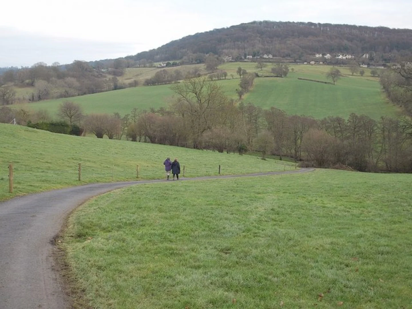
Starting near the picturesque village of Painswick in Gloucestershire, England, the Painswick to Stonehouse Walk spans approximately 13 km (8 miles) with an elevation gain of around 300 meters (984 feet). This point-to-point trail is rated as medium difficulty, making it suitable for moderately experienced hikers.
Getting There
To reach the trailhead, you can either drive or use public transport. If driving, head towards Painswick, which is easily accessible via the A46 road. For those using public transport, the nearest major train station is Stroud, from where you can take a local bus to Painswick. The bus journey is relatively short, and services are frequent.
Trail Overview
The trail begins in Painswick, often referred to as the "Queen of the Cotswolds." This charming village is known for its beautiful stone cottages and the historic St. Mary's Church, which dates back to the 14th century. The churchyard is famous for its 99 yew trees, each with its own unique shape.
Initial Ascent
As you leave Painswick, the trail starts with a gentle ascent, offering panoramic views of the surrounding Cotswold hills. The initial climb is about 100 meters (328 feet) over the first 2 km (1.2 miles), providing a good warm-up for the rest of the hike.
Midway Landmarks
Around the 5 km (3.1 miles) mark, you'll come across the Painswick Beacon, an ancient Iron Age hill fort. The beacon stands at 283 meters (928 feet) above sea level and offers stunning views of the Severn Valley and, on clear days, even the Welsh mountains. This is a great spot to take a break and soak in the scenery.
Flora and Fauna
The trail meanders through a variety of landscapes, including open fields, dense woodlands, and rolling hills. Keep an eye out for local wildlife such as deer, foxes, and a variety of bird species. The area is also rich in wildflowers, especially during the spring and summer months.
Historical Significance
As you continue towards Stonehouse, you'll pass through several areas of historical interest. The Cotswolds are known for their ancient limestone quarries, which have been used for building since Roman times. You may also encounter remnants of old mills and other historical structures that speak to the region's rich industrial past.
Final Descent
The last 3 km (1.9 miles) of the trail involve a gradual descent into the town of Stonehouse. This section is relatively easy, allowing you to enjoy the final stretch without too much strain. Stonehouse itself is a quaint town with a variety of amenities, including cafes and pubs where you can relax after your hike.
Navigation
For navigation, it's highly recommended to use the HiiKER app, which provides detailed maps and real-time updates to ensure you stay on track. The app is particularly useful for identifying key landmarks and ensuring you don't miss any points of interest along the way.
Ending Point
The trail concludes in Stonehouse, which is well-connected by public transport. The Stonehouse railway station offers regular services to major cities like Bristol and London, making it easy to return home or continue your journey.
This trail offers a perfect blend of natural beauty, historical landmarks, and moderate physical challenge, making it a rewarding experience for any hiker.

What to expect?
Activity types
Comments and Reviews
User comments, reviews and discussions about the Painswick to Stonehouse Walk, England.
4.5
average rating out of 5
6 rating(s)