Download
Preview
Add to list
More
16.9 km
~4 hrs 3 min
410 m
Loop
“Embark on a scenic 17km hike through historical South Downs, rich with nature and heritage.”
Embarking on the Round Hill, Alfriston, and Long Barrow trail via the South Downs Way, hikers will traverse approximately 17 kilometers (about 10.5 miles) of varied terrain with an elevation gain of around 400 meters (roughly 1,300 feet). This loop trail, rated medium in difficulty, offers a rich tapestry of English countryside, historical landmarks, and diverse wildlife, making it a rewarding experience for those who come prepared.
Getting to the Trailhead
The trailhead is conveniently located near East Sussex, England. For those arriving by car, parking is available in the village of Alfriston, which is a short walk from the start of the trail. Public transport users can take advantage of the local bus services that stop in Alfriston, with the nearest train stations being Berwick and Seaford, from which you can catch a connecting bus or taxi to the village.
The Journey Begins
Setting out from the vicinity of Alfriston, a charming village nestled within the South Downs National Park, hikers will follow the well-marked South Downs Way. The trail meanders through rolling hills and lush woodlands, offering panoramic views of the surrounding countryside.
Historical Significance and Landmarks
As you ascend Round Hill, take a moment to appreciate the historical significance of the area. The South Downs Way itself follows ancient routes used by travelers over thousands of years. Along the trail, you will encounter the Long Barrow at Alfriston, an early Neolithic long barrow, providing a glimpse into the region's distant past.
Flora and Fauna
The South Downs are home to a rich array of wildlife. Keep an eye out for birds of prey such as buzzards and red kites circling overhead. The chalk grasslands support a variety of plant species, including several types of orchids and the rare round-headed rampion, known locally as the "Pride of Sussex."
Navigation and Preparation
To navigate the trail, hikers can use the HiiKER app, which provides detailed maps and waypoints to ensure you stay on the right path. Be sure to download the map for offline use, as cell service can be spotty in rural areas.
It's important to come prepared with adequate water, snacks, and layers of clothing, as the weather can change quickly. Sturdy hiking boots are recommended due to the mixed terrain, which includes grassy paths, chalky tracks, and potentially muddy sections after rain.
Mid-Trail Highlights
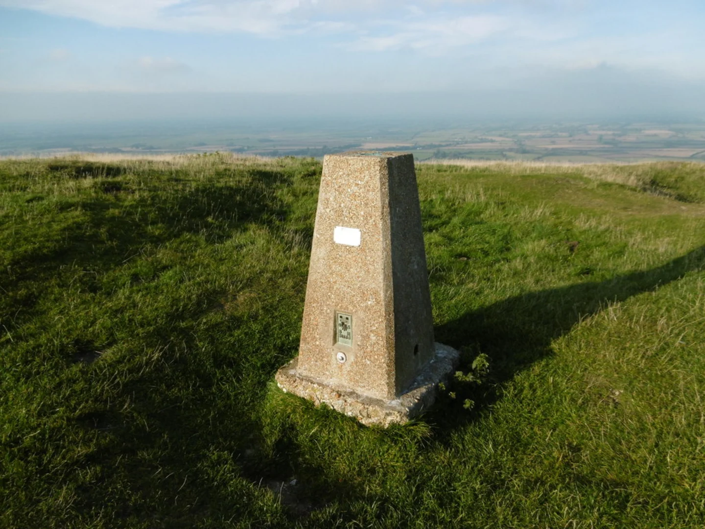
Approximately halfway through the hike, the trail reaches its highest elevation, offering stunning vistas across the Weald to the north and the English Channel to the south. Here, the sense of openness and space is truly remarkable, with the vast sky meeting the undulating landscape.
Returning to Alfriston
As the loop begins to close, the trail descends back towards Alfriston. The village itself is worth exploring, with its historical buildings, including the 14th-century St. Andrew's Church, known as the "Cathedral of the Downs." After completing the hike, you can enjoy local hospitality at one of the village's pubs or tea rooms.
This trail captures the essence of the South Downs, offering a blend of natural beauty, wildlife, and history. With proper preparation and an adventurous spirit, hikers will find this route to be a memorable journey through one of England's most picturesque landscapes.

What to expect?
Activity types
Comments and Reviews
User comments, reviews and discussions about the Round Hill, Alfriston and Long Barrow via South Downs Way, England.
4.0
average rating out of 5
1 rating(s)