Download
3D Flyover
Add to list
More
12.4 km
~3 hrs 22 min
543 m
Loop
“Ascend the “Shivering Mountain” for sweeping ridge-top views, wildflowers, and echoes of ancient history.”
Starting from the charming village of Castleton in Derbyshire, this 12 km (about 7.5 miles) loop trail with an elevation gain of roughly 500 metres (1,640 feet) is a classic route in the heart of the Peak District National Park. The trailhead is conveniently located near the Castleton Visitor Centre, which is easily accessible by public transport—regular trains run to Hope Station from Sheffield and Manchester, and from Hope, it’s a short bus ride or a 2 km (1.2 mile) walk to Castleton. For those arriving by car, parking is available at the Castleton Visitor Centre car park on Buxton Road.
Ascending Mam Tor
The route begins by heading west out of Castleton, quickly gaining elevation as you approach Mam Tor, known locally as the “Shivering Mountain” due to its unstable shale layers. The ascent is steady but manageable, with well-maintained stone steps leading to the summit at 517 metres (1,696 feet). On clear days, panoramic views stretch across the Edale Valley and Kinder Scout plateau. Mam Tor is also the site of an ancient hill fort dating back to the late Bronze Age, and remnants of ramparts are still visible near the summit.
Ridge Walk to Hollins Cross and Lose Hill
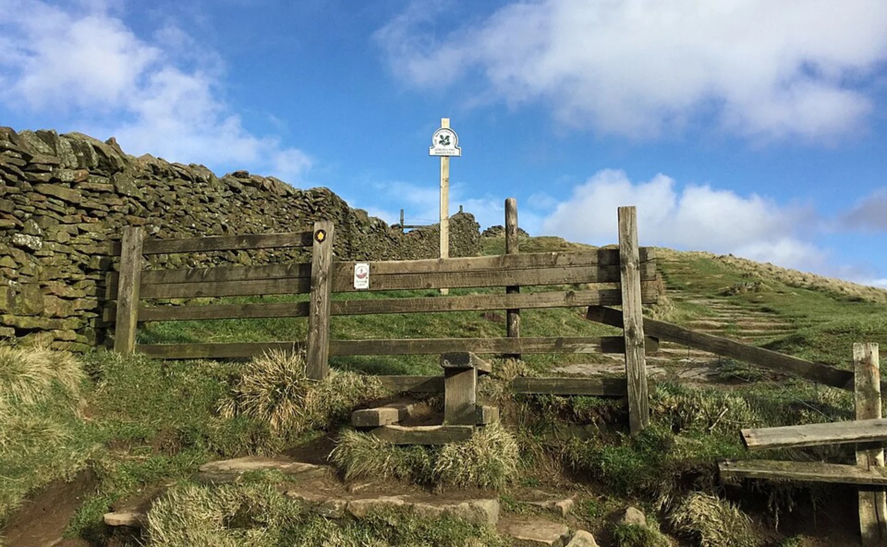
From Mam Tor, the trail follows the iconic Great Ridge eastward. This section is exposed and can be windy, but the path is clear and offers sweeping vistas on both sides. After about 1.5 km (1 mile), you’ll reach Hollins Cross, a historic crossing point between Castleton and Edale. This saddle is a popular rest spot and a junction for several footpaths. Continuing along the ridge, the route undulates gently before the final climb to Lose Hill at 476 metres (1,562 feet). The summit cairn marks another excellent viewpoint, with the Hope Valley and Win Hill visible to the northeast.
Descent and Return to Castleton
The descent from Lose Hill is grassy and can be slippery after rain, so sturdy footwear is recommended. The path winds down towards the village of Hope, passing through sheep pastures and dry stone walls typical of the Peak District landscape. Keep an eye out for skylarks, kestrels, and, in spring, carpets of wildflowers. From Hope, the route turns west, following field paths and quiet lanes back to Castleton. Along the way, you’ll pass close to the historic Peveril Castle, a Norman fortress dating to the 11th century, perched dramatically above the village.
Navigation and Safety
The entire loop is well-signposted, but weather in the Peak District can change rapidly, with fog and rain common even in summer. Carry a waterproof map and compass, and use HiiKER for up-to-date trail navigation and route tracking. Mobile signal is generally good along the ridge but can be patchy in the valleys.
Wildlife and Nature
The area is rich in wildlife, with frequent sightings of mountain hares, curlews, and red grouse on the open moorland. The limestone grasslands support rare orchids and butterflies, while the lower slopes are dotted with hawthorn and rowan trees. Sheep graze freely, so dogs should be kept on leads.
This loop offers a rewarding mix of natural beauty, historical intrigue, and classic Peak District scenery, making it a must-do for hikers seeking a moderately challenging day out.

What to expect?
Activity types
Comments and Reviews
User comments, reviews and discussions about the Mam Tor, Hollins Cross and Lose Hill Loop from Castleton, England.
4.73
average rating out of 5
15 rating(s)