Download
Preview
Add to list
More
22.9 km
~6 hrs 20 min
1053 m
Loop
“Embark on the scenic 23 km Mam Tor Hillfont Loop for panoramic views, historical intrigue, and diverse wildlife.”
Starting your hike near Derbyshire, England, the Mam Tor Hillfont, Back Tor, Lose Hill Loop is a captivating 23 km (14.3 miles) journey with an elevation gain of approximately 1000 meters (3280 feet). This loop trail is rated as medium difficulty, making it suitable for hikers with a moderate level of fitness and experience.
Getting There
To reach the trailhead, you can drive or use public transport. If driving, head towards the village of Castleton in Derbyshire, where parking is available. For those using public transport, the nearest train station is Hope Station, which is about 2 miles (3.2 km) from Castleton. From the station, you can either walk or take a local bus to the village.
Trail Overview
The trail begins near Castleton, a picturesque village known for its charming stone cottages and historic sites. As you start your hike, you'll ascend towards Mam Tor, also known as the "Shivering Mountain" due to its frequent landslides. The initial climb is steep but rewarding, offering panoramic views of the surrounding Peak District.
Mam Tor to Back Tor
At around 3 km (1.9 miles) into the hike, you'll reach the summit of Mam Tor, standing at 517 meters (1696 feet). This is a great spot to take a break and soak in the views. From Mam Tor, the trail continues along the Great Ridge, a well-defined path that connects Mam Tor to Back Tor and Lose Hill. The ridge walk is relatively flat, making it a pleasant stretch with continuous scenic vistas.
Back Tor and Lose Hill
Approximately 7 km (4.3 miles) into the hike, you'll arrive at Back Tor. This section involves a bit of scrambling, so be prepared for a more rugged terrain. The elevation here is around 438 meters (1437 feet). Continuing along the ridge, you'll reach Lose Hill at about 10 km (6.2 miles). Lose Hill stands at 476 meters (1562 feet) and offers another excellent viewpoint.
Historical Significance
The area is rich in history, with Mam Tor being an ancient hill fort dating back to the Bronze Age. The fort's remnants are still visible, adding a layer of historical intrigue to your hike. Castleton itself is home to Peveril Castle, a Norman fortress built in 1086, which you might want to explore either before or after your hike.
Flora and Fauna
The trail is abundant with wildlife and diverse plant species. Keep an eye out for red grouse, skylarks, and the occasional peregrine falcon. The flora varies from heather moorland to limestone grasslands, offering a colorful display, especially in late summer when the heather is in full bloom.
Navigation and Safety
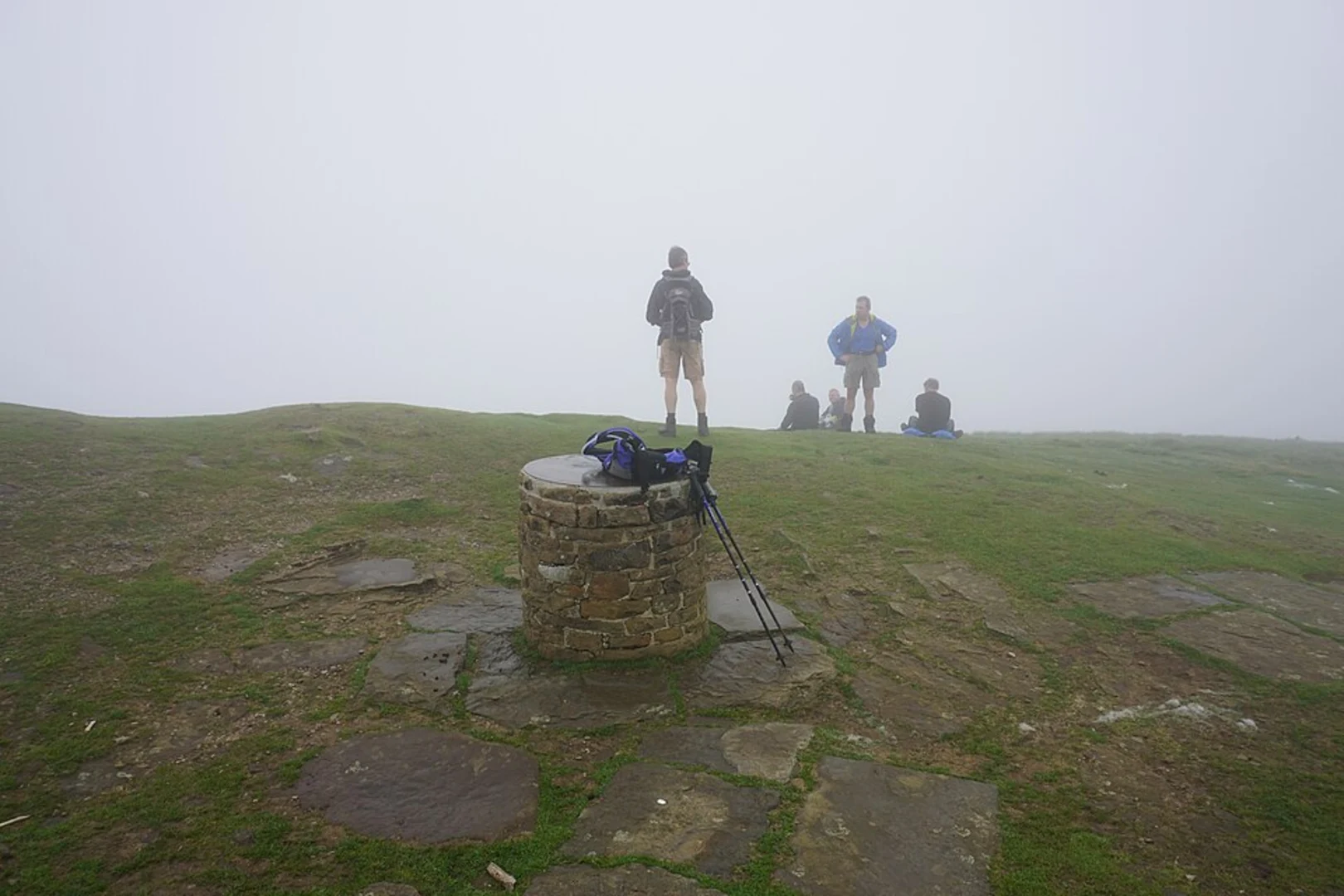
Given the varying terrain and weather conditions, it's advisable to use a reliable navigation tool like HiiKER to stay on track. The trail is well-marked, but fog and rain can reduce visibility, making navigation tools essential. Always check the weather forecast before setting out and carry appropriate gear, including waterproof clothing and sturdy hiking boots.
Return to Castleton
The descent from Lose Hill back to Castleton is gradual, passing through lush green fields and stone-walled pastures. This final stretch is about 6 km (3.7 miles) and offers a gentle end to your hike. Once back in Castleton, you can enjoy a well-deserved rest at one of the local pubs or cafes.
This loop trail offers a blend of natural beauty, historical landmarks, and a moderate challenge, making it a rewarding experience for any hiker.

What to expect?
Activity types
Comments and Reviews
User comments, reviews and discussions about the Mam Tor Hillfont, Back Tor, Lose Hill Loop, England.
5.0
average rating out of 5
4 rating(s)