Download
Preview
Add to list
More
9.0 km
~2 hrs 42 min
548 m
Out and Back
“The Ullscarf Walk offers invigorating climbs, stunning views, and historical intrigue in the heart of the Lake District.”
Starting near Cumberland, England, the Ullscarf Walk via Thirlmere is an invigorating out-and-back trail that spans approximately 9 km (5.6 miles) with an elevation gain of around 500 meters (1,640 feet). This medium-difficulty hike offers a blend of natural beauty, historical significance, and a touch of adventure.
Getting There
To reach the trailhead, you can drive or use public transport. If driving, head towards Thirlmere, where parking is available near the reservoir. For those using public transport, the nearest major town is Keswick, from where you can catch a bus to Thirlmere. The bus stop near the Thirlmere Reservoir is the closest point to the trailhead.
Trail Overview
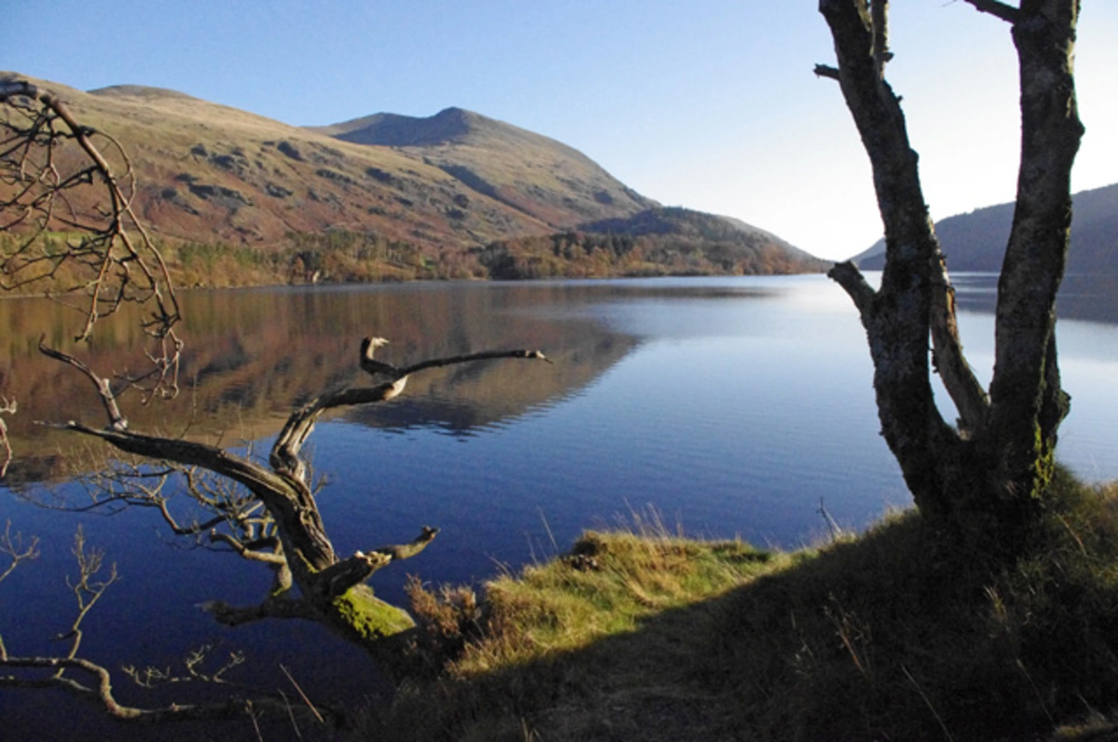
The trail begins near the Thirlmere Reservoir, a significant landmark in itself. Thirlmere was originally two smaller lakes before being dammed in the 19th century to provide water for Manchester. The reservoir is surrounded by lush forests and offers stunning views right from the start.
Initial Ascent
The first section of the trail takes you through dense woodland, where you can expect a steady climb. This part of the hike is relatively sheltered, making it a good warm-up for the more exposed sections ahead. Keep an eye out for red squirrels and various bird species that inhabit this area.
Midway Point: Harrop Tarn
Approximately 3 km (1.9 miles) into the hike, you'll reach Harrop Tarn, a small but picturesque tarn surrounded by marshland and forest. This is a great spot to take a short break and enjoy the serene environment. The elevation gain to this point is around 200 meters (656 feet).
Climbing to Ullscarf
From Harrop Tarn, the trail becomes steeper and more rugged as you make your way towards the summit of Ullscarf. The terrain here is a mix of rocky paths and grassy slopes. As you ascend, the views become increasingly panoramic, offering glimpses of the surrounding fells and valleys.
Summit Experience
Reaching the summit of Ullscarf, at an elevation of approximately 726 meters (2,382 feet), is a rewarding experience. The summit offers 360-degree views of the Lake District, including notable peaks like Helvellyn and Scafell Pike. On a clear day, you can see as far as the Solway Firth and the Scottish Borders.
Descent
The descent follows the same path back to the trailhead. While descending, take your time to enjoy the changing perspectives and perhaps spot some wildlife you might have missed on the way up.
Historical Significance
The area around Thirlmere and Ullscarf is steeped in history. The reservoir itself was a controversial project in the 19th century, opposed by many who valued the natural beauty of the original lakes. The surrounding fells have been walked by countless generations, and the landscape has inspired poets and artists alike.
Navigation
For navigation, it's highly recommended to use HiiKER, which provides detailed maps and real-time updates to ensure you stay on track.
Wildlife and Flora
Throughout the hike, you'll encounter a variety of flora and fauna. The lower sections are rich in deciduous trees like oak and birch, while the higher elevations feature hardy grasses and heather. Wildlife includes red squirrels, deer, and a variety of bird species, making this trail a delight for nature enthusiasts.
This hike offers a perfect blend of natural beauty, moderate challenge, and historical intrigue, making it a must-do for anyone visiting the Lake District.

What to expect?
Activity types
Comments and Reviews
User comments, reviews and discussions about the Ullscarf Walk via Thirlmere, England.
4.6
average rating out of 5
5 rating(s)