Download
Preview
Add to list
More
12.7 km
~2 hrs 55 min
229 m
Loop
“The River Liza Loop offers a scenic, moderately challenging 13 km hike through the serene Lake District.”
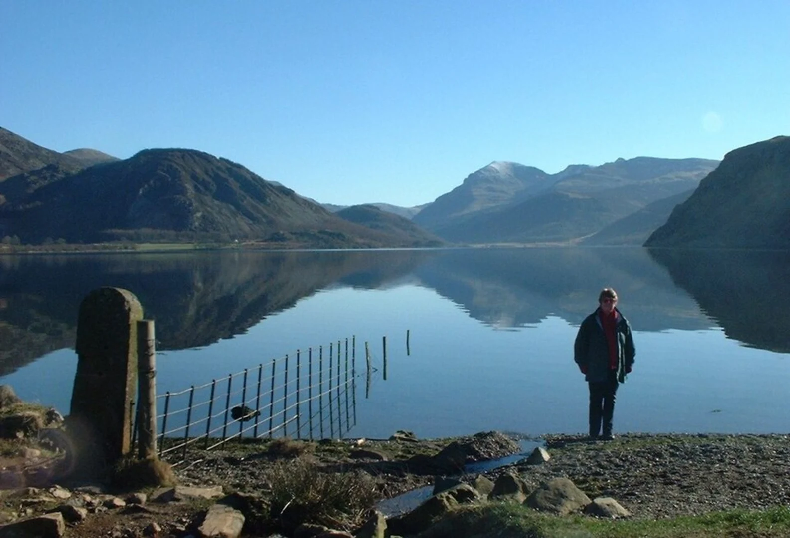
Starting near the picturesque Ennerdale Water in Cumberland, England, the River Liza Loop is a delightful 13 km (approximately 8 miles) loop trail that offers a moderate challenge with an elevation gain of around 200 meters (656 feet). This trail is perfect for those looking to immerse themselves in the serene beauty of the Lake District while enjoying a mix of woodland, riverside, and open fell walking.
Getting There
To reach the trailhead, you can drive to Ennerdale Water, which is accessible via the A5086 road. There is a car park near Bowness Knott, which serves as a convenient starting point. For those relying on public transport, the nearest significant town is Whitehaven. From Whitehaven, you can take a bus to Ennerdale Bridge and then either walk or arrange for a taxi to take you to the trailhead.
Trail Navigation
Using HiiKER for navigation is highly recommended to ensure you stay on track and make the most of your hike. The app provides detailed maps and real-time updates, which can be particularly useful in the more remote sections of the trail.
Trail Highlights
The trail begins near the car park at Bowness Knott, where you will immediately be greeted by the tranquil waters of Ennerdale Water. As you set off, the path takes you through dense woodland, offering a cool and shaded start to your hike. Keep an eye out for red squirrels and a variety of bird species that inhabit this area.
River Liza
Around 3 km (1.9 miles) into the hike, you will reach the River Liza. The trail follows the river closely, providing stunning views of the clear, fast-flowing water. This section is relatively flat and makes for a pleasant walk. The river is home to otters and a variety of fish, so keep your eyes peeled for wildlife.
Gillerthwaite
At approximately 5 km (3.1 miles), you will come across Gillerthwaite, a historic farmstead that now serves as a youth hostel. This is a great spot to take a break and enjoy the surrounding scenery. The area around Gillerthwaite is rich in history, with remnants of ancient settlements and old mining activities visible along the trail.
Elevation Gain
As you continue, the trail begins to ascend gently, gaining around 200 meters (656 feet) in elevation. The climb is steady but manageable, offering panoramic views of the surrounding fells and valleys. The highest point of the trail provides a fantastic vantage point to appreciate the rugged beauty of the Lake District.
Returning to Ennerdale Water
The descent back towards Ennerdale Water is gradual, allowing you to enjoy the changing landscape as you make your way back to the starting point. The final stretch of the trail takes you along the southern shore of Ennerdale Water, offering stunning views across the lake and the opportunity to spot waterfowl and other wildlife.
Practical Information
- Water and Snacks: Ensure you carry enough water and snacks, as there are no facilities along the trail.
- Footwear: Sturdy hiking boots are recommended due to the varied terrain.
- Weather: The weather in the Lake District can be unpredictable, so pack layers and waterproofs.
- Wildlife: Be respectful of the local wildlife and follow the Leave No Trace principles to keep the area pristine for future hikers.
This trail offers a perfect blend of natural beauty, historical interest, and moderate physical challenge, making it a must-do for any hiking enthusiast visiting the Lake District.

What to expect?
Activity types
Comments and Reviews
User comments, reviews and discussions about the River Liza Loop from Ennerdale Water, England.
4.33
average rating out of 5
3 rating(s)