Mellbreak North Top, Mellbreak and Scale Force Waterfall Loop - Crummock Water
Download
Preview
Add to list
More
12.9 km
~3 hrs 39 min
647 m
Loop
“Embark on a captivating 13 km journey through Buttermere's scenic beauty, featuring rugged climbs, serene lakes, and historic charm.”
Starting near the charming village of Buttermere in Cumberland, England, the Mellbreak North Top, Mellbreak and Scale Force Waterfall Loop - Crummock Water trail offers a captivating 13 km (8 miles) journey with an elevation gain of around 600 meters (1,970 feet). This loop trail is rated as medium difficulty, making it suitable for moderately experienced hikers.
Getting There
To reach the trailhead, you can drive to Buttermere, where parking is available. If you prefer public transport, buses from Keswick or Cockermouth can drop you off in Buttermere, making it a convenient starting point.
Trail Overview
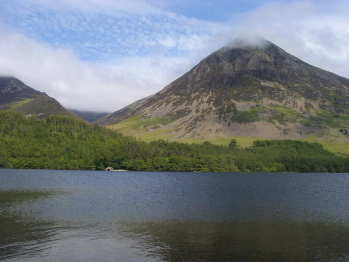
The trail begins near Buttermere, leading you through a picturesque landscape that includes serene lakes, rugged fells, and the highest waterfall in the Lake District. The initial part of the hike takes you along the shores of Crummock Water, offering stunning views of the lake and surrounding hills.
Mellbreak North Top
As you ascend towards Mellbreak North Top, the trail becomes steeper, gaining approximately 300 meters (985 feet) in elevation over the first 3 km (1.9 miles). The climb is challenging but rewarding, with panoramic views of the Buttermere Valley and the distant peaks of the Lake District.
Scale Force Waterfall
After reaching the summit of Mellbreak North Top, the trail descends towards Scale Force Waterfall, located about 6 km (3.7 miles) into the hike. Scale Force is the tallest waterfall in the Lake District, with a drop of 170 feet (52 meters). The waterfall is nestled in a narrow gorge, creating a dramatic and secluded atmosphere. This is a perfect spot to take a break and enjoy the natural beauty.
Wildlife and Flora
The area is rich in wildlife, including red squirrels, deer, and a variety of bird species such as peregrine falcons and buzzards. The flora is equally diverse, with heather-clad moorlands, ancient woodlands, and vibrant wildflowers in the spring and summer months.
Historical Significance
The region around Buttermere and Crummock Water has a rich history. The village of Buttermere itself dates back to the Viking era, and the surrounding landscape has inspired poets and artists for centuries. The trail also passes near the site of an old lead mine, a reminder of the area's industrial past.
Navigation and Safety
Given the varied terrain and potential for rapidly changing weather conditions, it's advisable to use a reliable navigation tool like HiiKER to stay on track. Ensure you have appropriate gear, including waterproof clothing and sturdy hiking boots, as parts of the trail can be boggy, especially after rain.
Final Stretch
The final section of the loop brings you back along the western shore of Crummock Water, offering a more leisurely walk with opportunities to spot waterfowl and enjoy the tranquil lakeside scenery. The trail concludes back in Buttermere, where you can relax and perhaps visit one of the local pubs or cafes to celebrate your hike.
This trail offers a blend of challenging climbs, breathtaking views, and rich natural and historical elements, making it a memorable experience for any hiker.

What to expect?
Activity types
Comments and Reviews
User comments, reviews and discussions about the Mellbreak North Top, Mellbreak and Scale Force Waterfall Loop - Crummock Water, England.
4.0
average rating out of 5
1 rating(s)