Download
Preview
Add to list
More
21.5 km
~5 hrs 26 min
682 m
Point-to-Point
“Experience the breathtaking Bohortha to Portloe Walk: 22 kilometers of coastal beauty, history, and moderate challenge.”
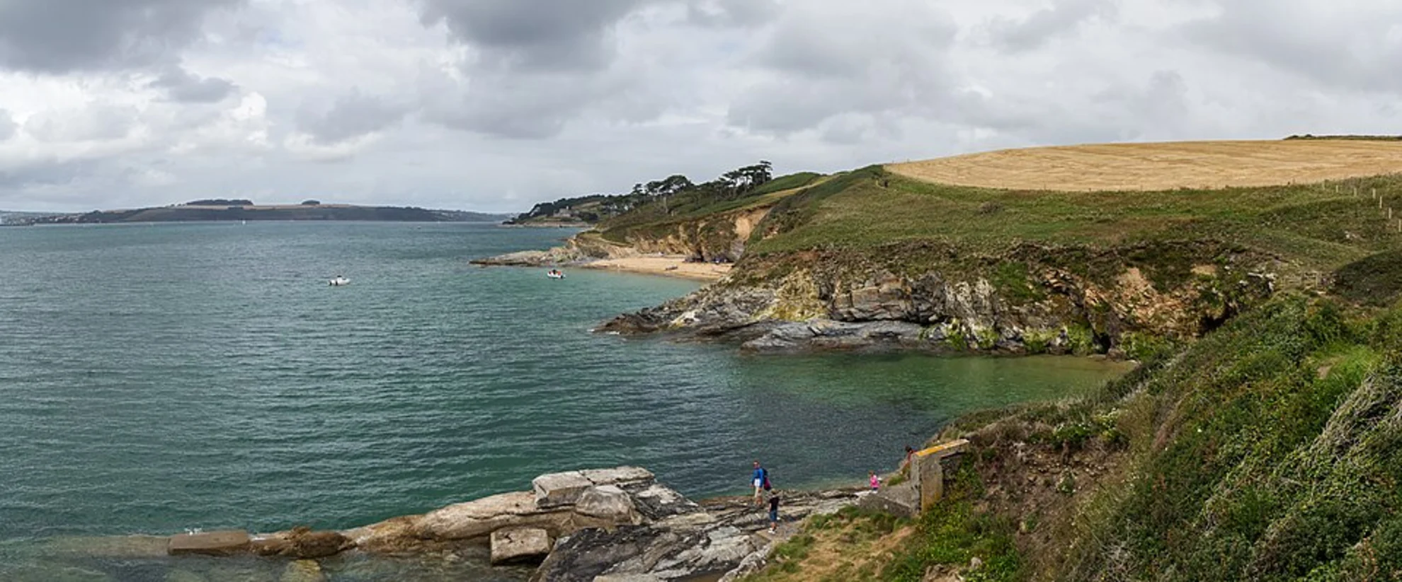
Starting near the picturesque village of Bohortha in Cornwall, England, the Bohortha to Portloe Walk spans approximately 22 kilometers (around 13.7 miles) with an elevation gain of about 600 meters (approximately 1,970 feet). This point-to-point trail is estimated to be of medium difficulty, making it suitable for moderately experienced hikers.
Getting There
To reach the trailhead in Bohortha, you can either drive or use public transport. If driving, head towards the village of Bohortha, which is accessible via local roads from the A3078. For those using public transport, the nearest major town is Truro, which has a train station. From Truro, you can take a bus to St Mawes and then a local taxi or another bus to Bohortha.
Trail Overview
The trail begins in Bohortha, a quaint village known for its charming cottages and serene coastal views. As you set off, you'll be greeted by the stunning vistas of the Roseland Peninsula, a designated Area of Outstanding Natural Beauty (AONB). The initial part of the trail is relatively flat, allowing you to ease into the hike while enjoying the coastal scenery.
Key Landmarks and Sections
St Anthony Head
About 3 kilometers (1.9 miles) into the hike, you'll reach St Anthony Head. This headland offers panoramic views of the English Channel and is home to a historic lighthouse. The area is rich in military history, with remnants of World War II gun emplacements and observation posts.
Porthbeor Beach
Continuing along the coast, you'll come across Porthbeor Beach around the 6-kilometer (3.7-mile) mark. This secluded beach is a perfect spot for a short break. The descent to the beach is steep, so take care if you decide to explore the shoreline.
Portscatho
At approximately 10 kilometers (6.2 miles), you'll arrive at the village of Portscatho. This charming fishing village offers a variety of amenities, including cafes and shops, making it an ideal place to rest and refuel. The village also has a rich artistic heritage, with several galleries showcasing local art.
Flora and Fauna
The trail is abundant with diverse flora and fauna. Keep an eye out for wildflowers such as sea thrift and heather, especially in the spring and summer months. Birdwatchers will be delighted by the presence of seabirds like gulls, cormorants, and occasionally, peregrine falcons.
Elevation Changes
As you leave Portscatho, the trail becomes more challenging with several elevation changes. The path winds through rolling hills and coastal cliffs, offering both ascents and descents that will test your endurance. The highest point of the trail is around 150 meters (492 feet) above sea level, providing breathtaking views of the surrounding landscape.
Nare Head
Around the 16-kilometer (9.9-mile) mark, you'll reach Nare Head. This prominent headland offers sweeping views of Gerrans Bay and is another excellent spot for a break. The area is also of historical significance, with ancient burial mounds and remnants of Iron Age settlements.
Final Stretch to Portloe
The last 6 kilometers (3.7 miles) of the trail take you through a mix of coastal paths and inland tracks. As you approach Portloe, the terrain becomes less demanding, allowing you to enjoy the final leg of your journey. Portloe is a picturesque fishing village with narrow streets and traditional Cornish architecture. The village has a couple of pubs and guesthouses, perfect for a well-deserved rest.
Navigation
For navigation, it is highly recommended to use HiiKER, which provides detailed maps and real-time updates to ensure you stay on the right path.
This trail offers a blend of natural beauty, historical landmarks, and moderate physical challenge, making it a rewarding experience for those who undertake it.

What to expect?
Activity types
Comments and Reviews
User comments, reviews and discussions about the Bohortha to Portloe Walk, England.
4.5
average rating out of 5
4 rating(s)