Download
Preview
Add to list
More
3.9 km
~1 hrs 7 min
205 m
Loop
“"Tegg's Nose Loop offers scenic views, historical landmarks, and diverse wildlife, making it a rewarding hike."”
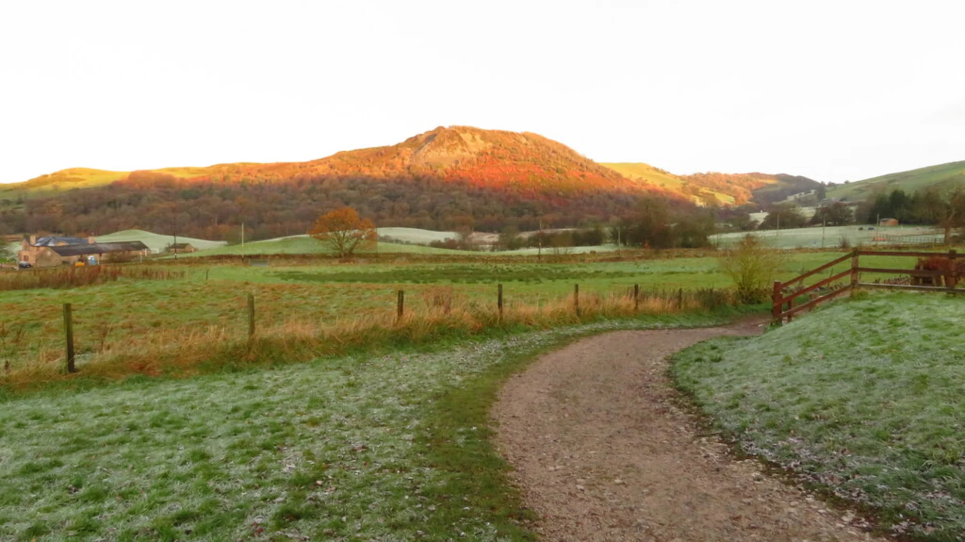
Starting near Cheshire East, England, the Tegg's Nose and Tegg's Nose Reservoir Loop is a delightful 4 km (2.5 miles) loop trail with an elevation gain of approximately 200 meters (656 feet). This medium-difficulty trail offers a mix of scenic views, historical landmarks, and diverse wildlife, making it a rewarding experience for hikers of all levels.
Getting There To reach the trailhead, you can drive or use public transport. If driving, set your GPS to Tegg's Nose Country Park, Buxton Old Road, Macclesfield, SK11 0AP. There is a car park available at the country park. For those using public transport, take a train to Macclesfield Station. From there, you can catch a bus or taxi to Tegg's Nose Country Park, which is approximately 3 miles (4.8 km) away.
Trail Overview The trail begins at Tegg's Nose Country Park, where you can find an information center and restrooms. As you start your hike, you'll immediately notice the rugged landscape, a testament to the area's quarrying history. The trail is well-marked, but it's advisable to use the HiiKER app for navigation to ensure you stay on track.
Key Landmarks and Points of Interest - **Tegg's Nose Summit**: About 1 km (0.6 miles) into the hike, you'll reach the summit of Tegg's Nose. At an elevation of 380 meters (1,247 feet), this spot offers panoramic views of the Cheshire Plain and the Peak District. On a clear day, you can see as far as the Welsh mountains. - **Quarrying History**: As you descend from the summit, you'll pass through areas that were once active quarries. Informational plaques provide insights into the region's industrial past, explaining how the stone was extracted and transported. - **Tegg's Nose Reservoir**: Approximately 2 km (1.2 miles) into the hike, you'll arrive at Tegg's Nose Reservoir. This serene body of water is a great spot for a short break. Keep an eye out for various bird species, including herons and kingfishers, which are often seen around the reservoir. - **Woodland and Wildlife**: The trail then meanders through patches of woodland, where you might spot deer, rabbits, and a variety of birdlife. The diverse flora includes oak, birch, and rowan trees, providing a lush canopy overhead.
Trail Conditions and Safety The trail is generally well-maintained, but can be muddy and slippery in sections, especially after rain. Good hiking boots are recommended. The elevation gain is moderate but steady, so be prepared for some uphill sections. Always carry a map or use the HiiKER app for real-time navigation.
Historical Significance The area around Tegg's Nose has a rich history dating back to the Bronze Age, with evidence of ancient settlements and burial mounds. The quarrying activities that shaped much of the landscape began in the 16th century and continued until the early 20th century. The stone from Tegg's Nose was highly prized for its durability and was used in many local buildings and structures.
Final Stretch As you loop back towards the starting point, the trail offers more stunning views and a gentle descent. The final kilometer (0.6 miles) takes you through open fields and pastures, often dotted with grazing sheep. This section is relatively flat and provides a relaxing end to your hike.
Whether you're a seasoned hiker or a casual walker, the Tegg's Nose and Tegg's Nose Reservoir Loop offers a perfect blend of natural beauty, historical intrigue, and physical challenge.

What to expect?
Activity types
Comments and Reviews
User comments, reviews and discussions about the Tegg's Nose and Tegg's Nose Reservoir Loop, England.
4.0
average rating out of 5
4 rating(s)