Download
Preview
Add to list
More
41.2 km
~2 day
1641 m
Point-to-Point
“Explore Mono County's Soda Cone and PCT trail for a breathtaking and challenging wilderness adventure.”
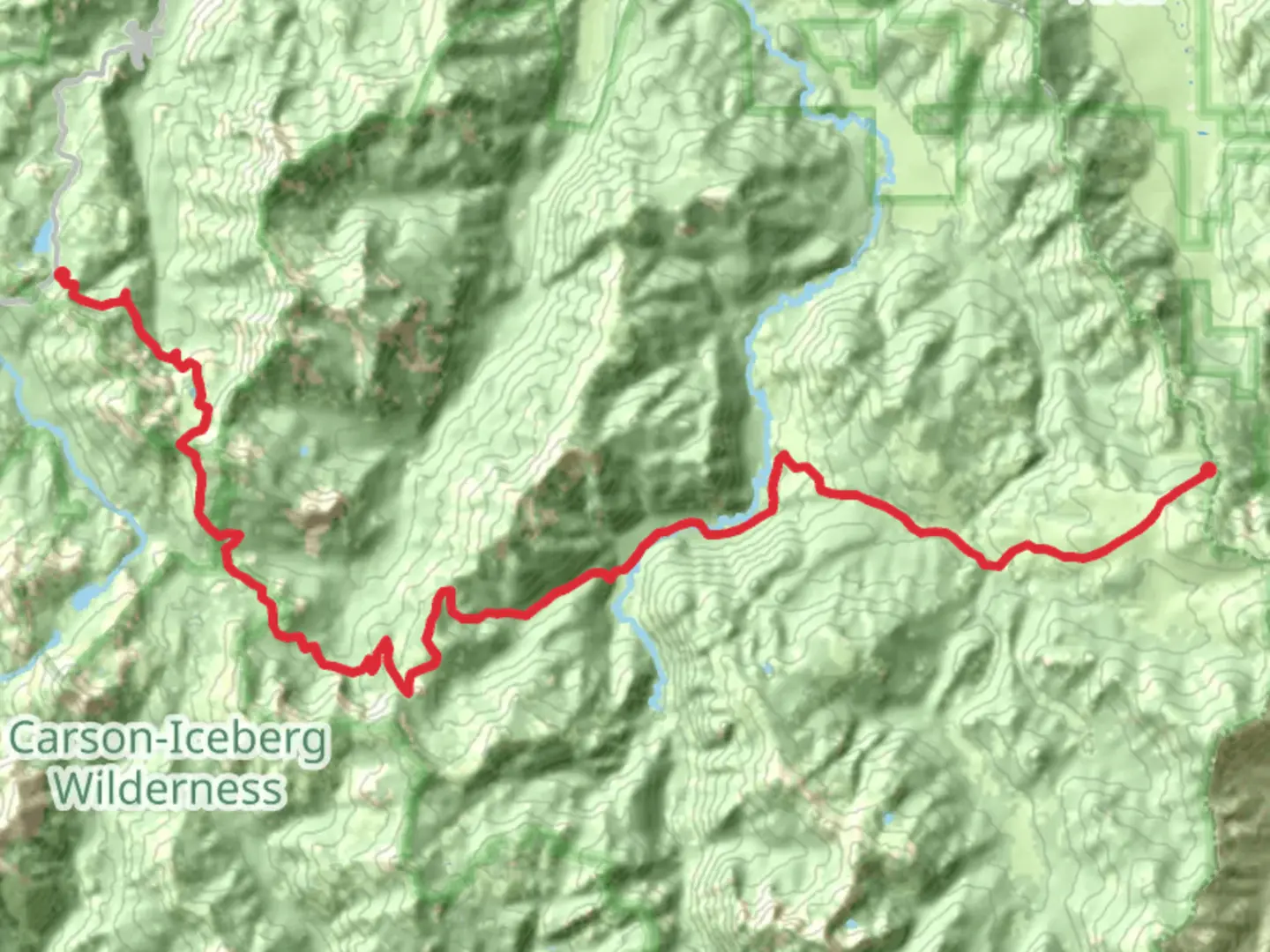
Nestled in the breathtaking landscapes of Mono County, California, the Soda Cone and PCT trail offers an exhilarating adventure for seasoned hikers. Spanning approximately 41 kilometers (about 25.5 miles) with an elevation gain of around 1,600 meters (5,250 feet), this point-to-point trail is known for its challenging terrain and stunning vistas. The trailhead is conveniently located near the scenic Mono County, providing easy access for those traveling by car or public transport.
Getting There
For those driving, the trailhead can be accessed via Highway 395, a major route that runs through Mono County. The nearest significant landmark is the town of Lee Vining, which is approximately 13 miles (21 kilometers) from the trailhead. Parking is available near the starting point, but it's advisable to arrive early, especially during peak hiking seasons, to secure a spot.
If you prefer public transport, the Eastern Sierra Transit Authority offers bus services that connect to Lee Vining. From there, a short taxi ride or a pre-arranged shuttle can take you directly to the trailhead.
Trail Highlights
The journey begins with a gradual ascent through lush pine forests, offering a serene start to your hike. As you progress, the trail opens up to expansive meadows, where wildflowers bloom in vibrant colors during the spring and summer months. Keep an eye out for local wildlife, including mule deer and a variety of bird species that inhabit the area.
Historical Significance
This region is steeped in history, with the Pacific Crest Trail (PCT) being a significant part of the American hiking heritage. The PCT stretches over 2,650 miles from Mexico to Canada, and this section offers a glimpse into the diverse landscapes that characterize the trail. The Soda Cone area itself is named after the unique volcanic formations that dot the landscape, remnants of the region's volcanic past.
Navigational Tips
Given the trail's difficulty rating, it's crucial to be well-prepared. The path can be rugged and steep in sections, requiring sturdy hiking boots and trekking poles for stability. Weather conditions can change rapidly, so pack layers and rain gear. For navigation, the HiiKER app is an invaluable tool, providing detailed maps and real-time updates to ensure you stay on track.
Notable Landmarks
As you approach the midpoint of the trail, you'll encounter Soda Cone, a striking volcanic formation that offers panoramic views of the surrounding mountains and valleys. This is an ideal spot for a rest and to soak in the natural beauty. Further along, the trail intersects with several smaller streams, providing opportunities to refill water supplies, though it's recommended to carry a water filter or purification tablets.
Final Stretch
The final leg of the trail descends through a series of switchbacks, leading you into a dense forest canopy. This section can be particularly challenging due to loose rocks and steep gradients, so take your time and watch your footing. The trail concludes near the picturesque Walker Lake, a serene spot to reflect on your journey and enjoy a well-deserved rest.
Embarking on the Soda Cone and PCT trail is a rewarding experience for those prepared for its challenges. With its rich history, diverse ecosystems, and breathtaking scenery, it promises an unforgettable adventure in the heart of California's wilderness.

What to expect?
Activity types
Comments and Reviews
User comments, reviews and discussions about the Soda Cone and PCT, California.
average rating out of 5
0 rating(s)