Upper Maynard Burn Trail
6.4 km
~1 hrs 57 min
405 m
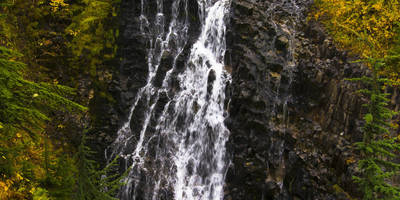
“Explore the Upper Maynard Burn Trail's scenic beauty, moderate challenge, and rich history in Olympic Peninsula.”
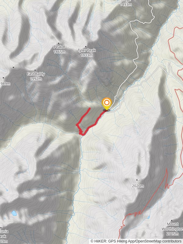
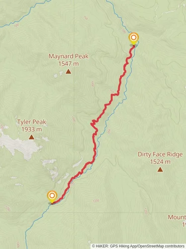
Starting your adventure near Clallam County, Washington, the Upper Maynard Burn Trail offers a rewarding out-and-back hike that spans approximately 6 km (3.7 miles) with an elevation gain of around 400 meters (1,312 feet). This trail is rated as medium difficulty, making it suitable for moderately experienced hikers looking for a bit of a challenge.
### Getting There
To reach the trailhead, you can drive or use public transportation. If you're driving, head towards the nearest significant landmark, the town of Sequim, Washington. From Sequim, take US-101 W and follow signs towards the Olympic National Park. The trailhead is located near the end of Palo Alto Road, which is accessible from US-101. For those using public transport, you can take a bus to Sequim and then arrange for a taxi or rideshare to the trailhead, as public transport options directly to the trailhead are limited.
### Trail Overview
The trail begins with a steady ascent through dense forest, offering a cool and shaded start to your hike. As you progress, the trail becomes steeper, and the forest canopy opens up, providing glimpses of the surrounding landscape. At approximately 1.5 km (0.9 miles) in, you'll encounter a series of switchbacks that help to manage the elevation gain.
### Significant Landmarks and Nature
Around the 2 km (1.2 miles) mark, you'll reach a clearing that offers panoramic views of the Olympic Mountains. This is a great spot to take a break and enjoy the scenery. Continuing on, the trail becomes rockier and more exposed, so be prepared for a bit of scrambling in some sections.
### Wildlife and Flora
The Upper Maynard Burn Trail is home to a variety of wildlife, including deer, black bears, and numerous bird species. Keep an eye out for the distinctive Douglas squirrels and listen for the calls of the varied thrush. The flora is equally diverse, with towering Douglas firs, western hemlocks, and an undergrowth of ferns and wildflowers, particularly vibrant in the spring and early summer.
### Historical Significance
This region has a rich history tied to the logging industry that once thrived here. Remnants of old logging roads and equipment can occasionally be spotted along the trail, offering a glimpse into the area's past. The trail itself was originally used by loggers and has since been repurposed for recreational use.
### Navigation and Safety
Given the trail's moderate difficulty, it's advisable to use a reliable navigation tool like HiiKER to keep track of your progress and ensure you stay on course. The trail is well-marked, but weather conditions can change rapidly, especially at higher elevations. Always check the weather forecast before heading out and be prepared with appropriate gear, including sturdy hiking boots, layers of clothing, and plenty of water.
### Final Stretch
As you approach the 3 km (1.8 miles) point, the trail levels out slightly before reaching the turnaround point. Here, you'll be rewarded with expansive views of the surrounding valleys and peaks. Take some time to soak in the beauty before retracing your steps back to the trailhead.
This hike offers a perfect blend of natural beauty, moderate challenge, and historical intrigue, making it a must-visit for any hiking enthusiast exploring the Olympic Peninsula.
Reviews
User comments, reviews and discussions about the Upper Maynard Burn Trail, Washington.
5.0
average rating out of 5
10 rating(s)

