Cambrian Way trail stages
stage 1
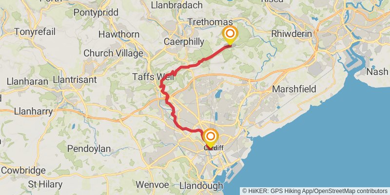
Starting at: Cardiff, Cardiff, CF
Ending at: Rudry, Caerphilly County Borough, CF83 3DE
Distance: 19.5 km
Elevation gain: 404 m
Duration: 04:34:54
stage 2
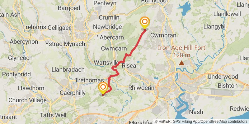
Starting at: Rudry, Caerphilly, CF83 3DE
Ending at: The Square, Cwmbran, Torfaen, NP44 5EA
Distance: 16.6 km
Elevation gain: 808 m
Duration: 04:40:01
stage 3
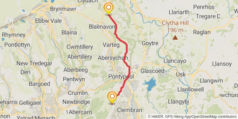
Starting at: Torfaen, NP44
Ending at: Foxhunter, Govilon, Monmouthshire, NP4 9PG
Distance: 18.0 km
Elevation gain: 555 m
Duration: 04:31:25
stage 4
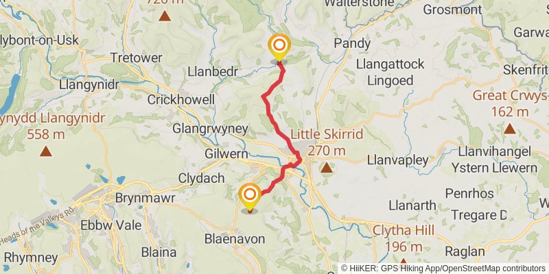
Starting at: Twyn-Allws, Monmouthshire, NP7 9RY
Ending at: Forest Coal Pit, Monmouthshire, NP7 7LS
Distance: 14.5 km
Elevation gain: 595 m
Duration: 03:53:16
stage 5
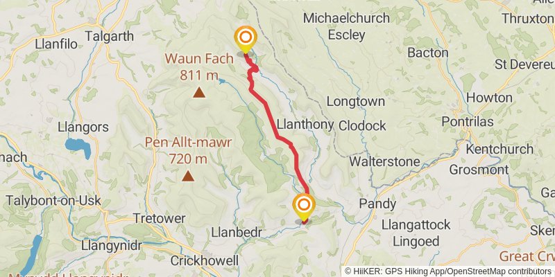
Starting at: Cwmyoy, Monmouthshire, NP7 7LS
Ending at: Capel-y-ffin, Capel-y-ffin, Powys, NP7 7NP
Distance: 14.5 km
Elevation gain: 789 m
Duration: 04:13:00
alt 1
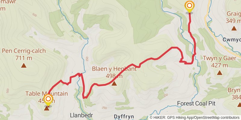
Starting at: Monmouthshire, NP7 7LU
Ending at: Crug Hywel Camp, Crickhowell, Powys, NP8 1SP
Distance: 11.5 km
Elevation gain: 596 m
Duration: 03:17:48
stage 6
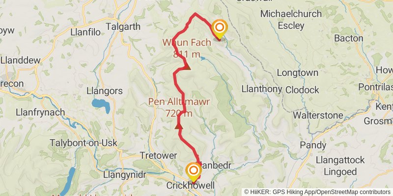
Starting at: Capel-y-ffin, Powys, NP7 7NP
Ending at: Crickhowell, Powys, NP8 1EZ
Distance: 24.2 km
Elevation gain: 647 m
Duration: 05:54:42
stage 7
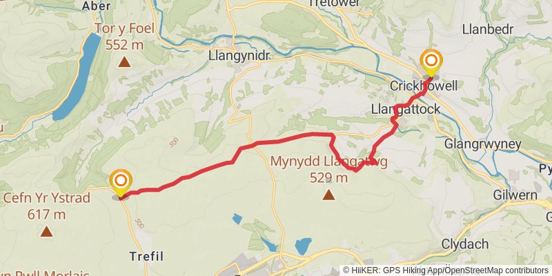
Starting at: Powys, NP8 1BT
Ending at: Powys, NP22 4HF
Distance: 14.8 km
Elevation gain: 653 m
Duration: 04:03:06
alt 2
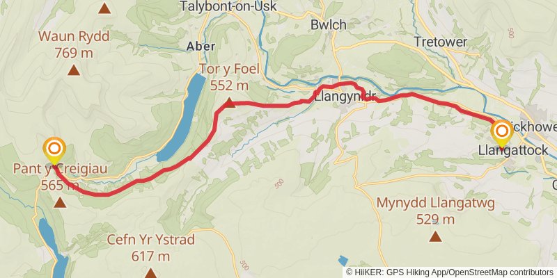
Starting at: Dardy, Llangattock, Powys, NP8 1DZ
Ending at: Powys, CF48 2UT
Distance: 18.9 km
Elevation gain: 673 m
Duration: 04:53:41
stage 8
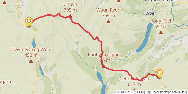
Starting at: Trefil, Blaenau Gwent, NP22 4HF
Ending at: Powys, LD3 8NL
Distance: 19.1 km
Elevation gain: 1002 m
Duration: 05:29:52
alt 3
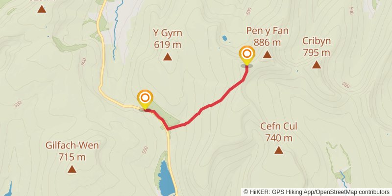
Starting at: Cefn Cwm Llwch, Cefn Cwm Llwch, Powys, LD3 8LE
Ending at: Powys, LD3 8NL
Distance: 3.4 km
Elevation gain: 14 m
Duration: 00:41:57
stage 9
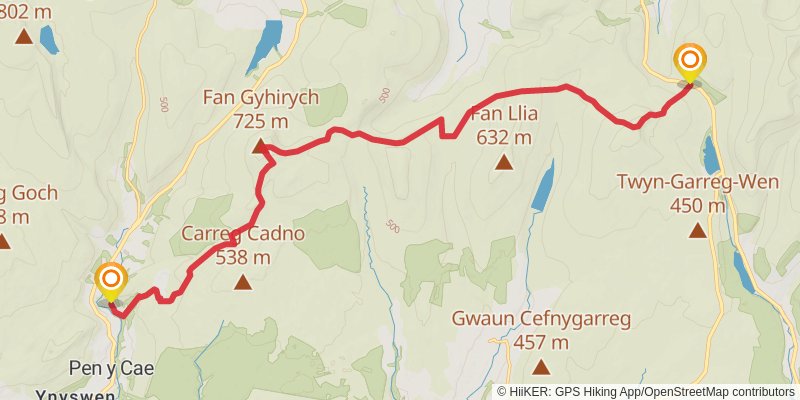
Starting at: Cwm-llwch, Powys, LD3 8NL
Ending at: Pen y Cae, Powys, SA9 1GD
Distance: 19.5 km
Elevation gain: 757 m
Duration: 05:09:57
alt 4
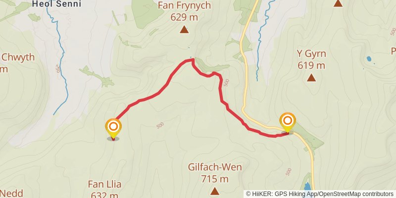
Starting at: Powys, LD3 8NL
Ending at: Powys, LD3 8RP
Distance: 6.4 km
Elevation gain: 283 m
Duration: 01:45:26
alt 5
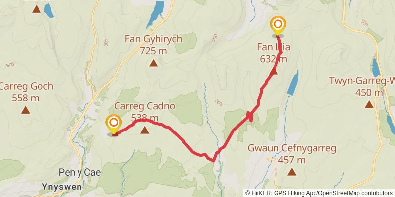
alt 6
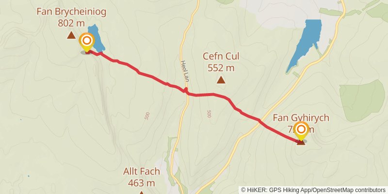
Starting at: Powys, LD3 8YR
Ending at: Llywel, Powys, LD3 8RG
Distance: 6.0 km
Elevation gain: 503 m
Duration: 02:02:44
stage 10
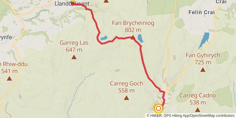
Starting at: Pen y Cae, Powys, SA9 1FE
Ending at: Llanddeusant, Carmarthenshire, SA19 9UL
Distance: 15.5 km
Elevation gain: 799 m
Duration: 04:26:00
stage 11
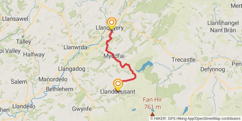
Starting at: Llanddeusant, Carmarthenshire, SA19 9UH
Ending at: Llandovery, Carmarthenshire, SA20 0PR
Distance: 17.1 km
Elevation gain: 433 m
Duration: 04:08:03
stage 12
stage 13
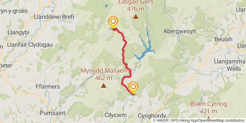
Starting at: Rhandirmwyn, Carmarthenshire, SA20 0NP
Ending at: Ceredigion, SY25 6PH
Distance: 14.8 km
Elevation gain: 491 m
Duration: 03:46:42
stage 14
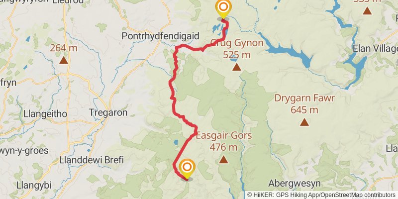
Starting at: Ceredigion, SY25 6PH
Ending at: Ceredigion, SY25 6BT
Distance: 24.2 km
Elevation gain: 737 m
Duration: 06:04:01
stage 15
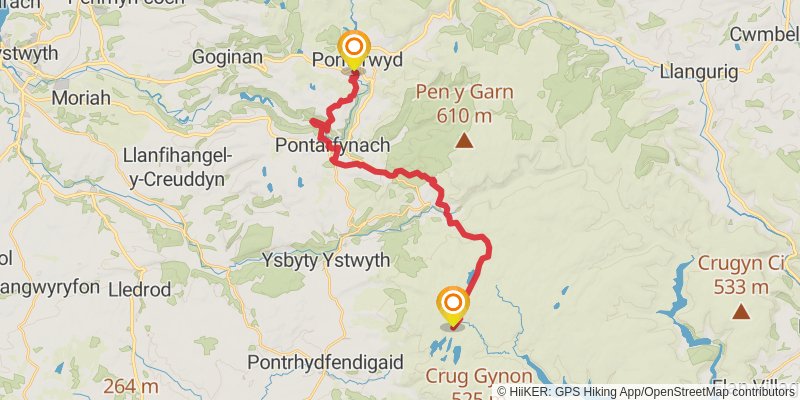
stage 16
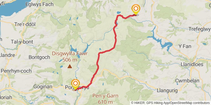
Starting at: Cwm-brwyno, Ceredigion, SY23 3AD
Ending at: Dylife, Dylife, Powys, SY19 7BW
Distance: 22.5 km
Elevation gain: 842 m
Duration: 05:54:15
alt 7
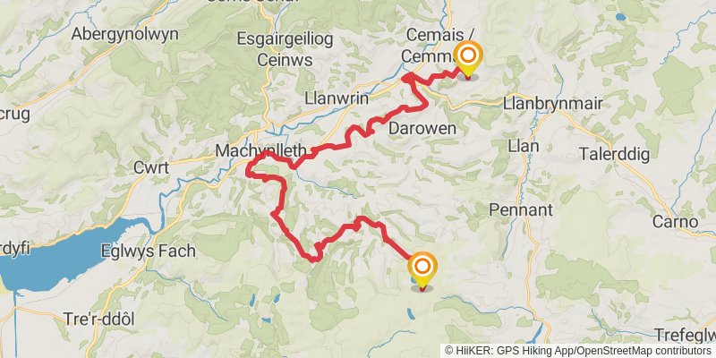
Starting at: Powys, SY20 8RE
Ending at: Commins Coch, Powys, SY20 8LT
Distance: 39.5 km
Elevation gain: 1331 m
Duration: 10:07:09
stage 17
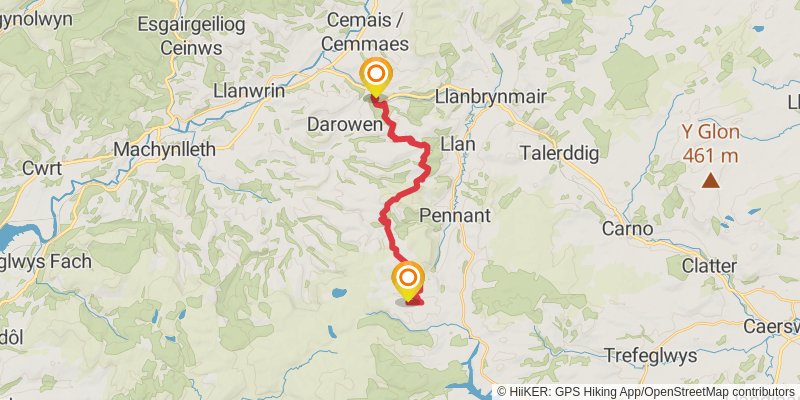
Starting at: Dylife, Powys, SY19 7BW
Ending at: Commins Coch, Powys, SY20 8LQ
Distance: 16.6 km
Elevation gain: 482 m
Duration: 04:07:42
stage 18
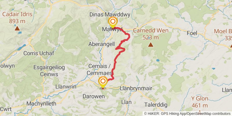
Starting at: Commins Coch, Powys, SY20 8LQ
Ending at: Caffi Carys, Mallwyd, Gwynedd, SY20 9HN
Distance: 17.3 km
Elevation gain: 685 m
Duration: 04:35:57
stage 19
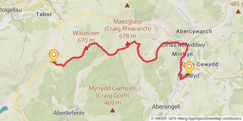
Starting at: Mallwyd, Gwynedd, SY20 9HN
Ending at: Gwynedd, LL40 2RD
Distance: 18.1 km
Elevation gain: 1082 m
Duration: 05:25:33
stage 20
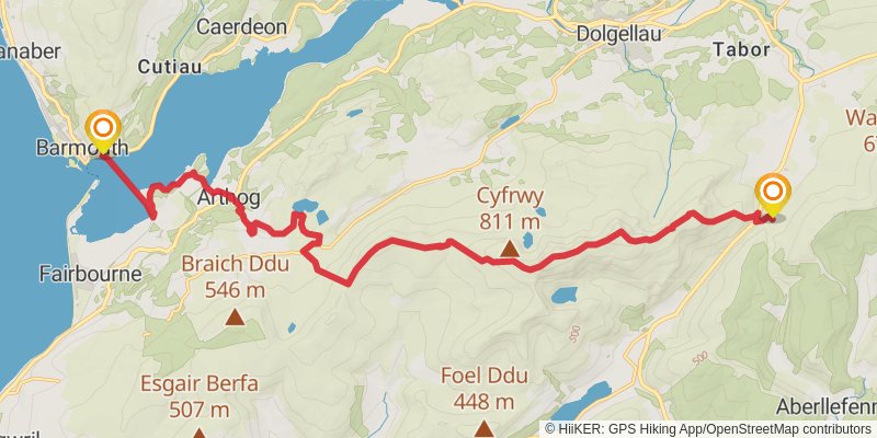
Starting at: Tabor, Gwynedd, LL40 2RD
Ending at: Barmouth, Gwynedd, LL42 1EH
Distance: 20.6 km
Elevation gain: 870 m
Duration: 05:34:40
stage 21
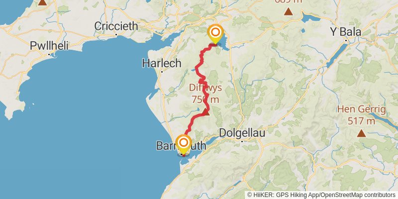
Starting at: Gwynedd, LL42 1EL
Ending at: Gwynedd, LL41 4TS
Distance: 31.8 km
Elevation gain: 2117 m
Duration: 09:53:25
spur 1
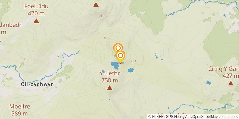
Starting at: Rhinog Fach, Gwynedd
Ending at: Rhinog Fach, Gwynedd
Distance: 395 m
Elevation gain: 95 m
Duration: 00:14:15
stage 22
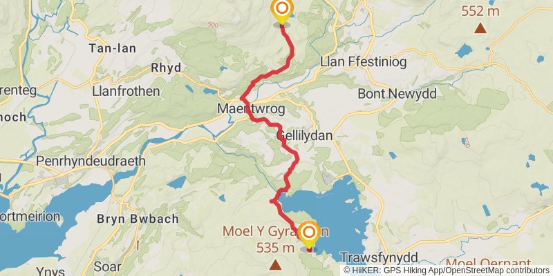
Starting at: Trawsfynydd, Gwynedd, LL41 4TS
Ending at: Air Shaft, Tan-y-grisiau, Gwynedd, LL41 3TP
Distance: 11.2 km
Elevation gain: 380 m
Duration: 02:52:31