39.9 km
~2 day
1422 m
“Embark on the Ouray Lake via Highline Trail for a 40 km adventure through diverse landscapes and rich history.”
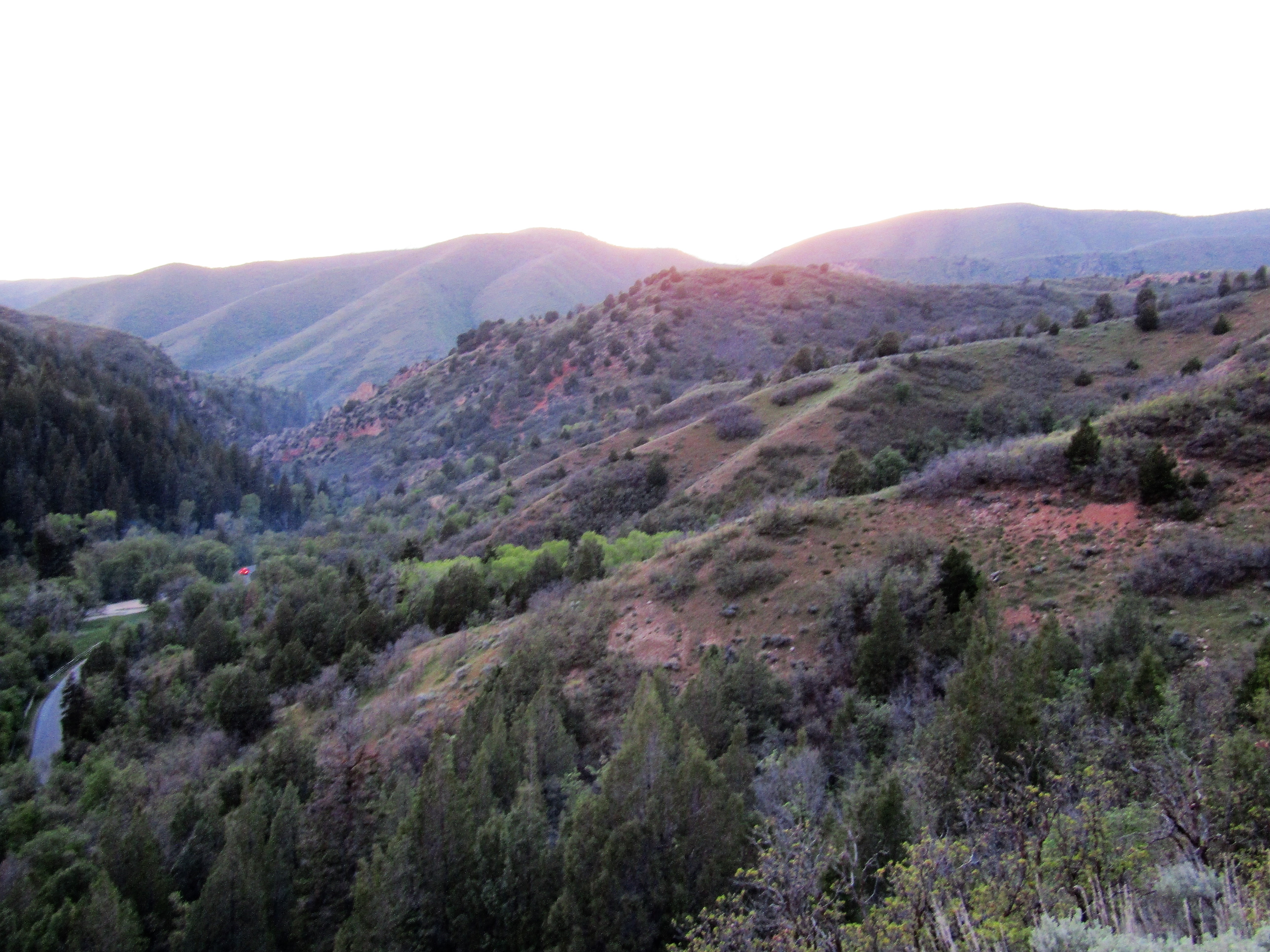
Starting your adventure near Summit County, Utah, the trailhead for the Ouray Lake via Highline Trail is accessible by car. If you're using public transport, the nearest significant landmark is the town of Kamas, Utah. From Kamas, you can take a local shuttle or taxi service to reach the trailhead.### Trail OverviewThe Ouray Lake via Highline Trail spans approximately 40 kilometers (about 25 miles) with an elevation gain of around 1400 meters (approximately 4600 feet). This out-and-back trail is rated as medium difficulty, making it suitable for moderately experienced hikers.### Initial AscentThe first section of the trail involves a steady ascent through dense forests of pine and aspen. Over the initial 5 kilometers (3 miles), you'll gain about 300 meters (1000 feet) in elevation. This part of the trail is well-marked and relatively straightforward, but keep an eye out for loose rocks and tree roots that could trip you up.### Mid-Trail LandmarksAs you continue, the trail opens up to expansive meadows filled with wildflowers during the summer months. Around the 10-kilometer (6-mile) mark, you'll encounter a small, serene alpine lake known as Naturalist Basin. This is a great spot to take a break and enjoy the scenery.### Wildlife and FloraThe trail is home to a variety of wildlife, including deer, elk, and occasionally black bears. Birdwatchers will be delighted by the presence of hawks, eagles, and numerous songbirds. The flora is equally diverse, with wildflowers like Indian paintbrush, lupine, and columbine adding splashes of color to the landscape.### Historical SignificanceThe region has a rich history, with evidence of Native American habitation dating back thousands of years. The Ute tribe, in particular, has a long-standing connection to this land. As you hike, you'll pass through areas that were once hunting grounds and seasonal camps for these indigenous people.### Final Ascent to Ouray LakeThe final stretch to Ouray Lake is the most challenging, involving a steep climb over the last 5 kilometers (3 miles) with an elevation gain of about 400 meters (1300 feet). The trail becomes rockier and less defined, so it's crucial to have a reliable navigation tool like HiiKER to stay on track.### Reaching Ouray LakeUpon reaching Ouray Lake, you'll be rewarded with breathtaking views of the surrounding peaks and crystal-clear waters. The lake sits at an elevation of approximately 3200 meters (10,500 feet), making it a perfect spot for a well-deserved rest and some stunning photography.### Return JourneyThe return journey follows the same path, allowing you to revisit the beautiful landscapes and landmarks you encountered on the way up. Make sure to pace yourself and stay hydrated, as the descent can be tough on the knees.### Preparation Tips- Footwear: Sturdy hiking boots with good ankle support are recommended.
- Weather: Be prepared for sudden weather changes, especially at higher elevations.
- Supplies: Carry enough water and snacks, as there are no facilities along the trail.
- Navigation: Use HiiKER for accurate trail navigation and to avoid getting lost.This trail offers a mix of challenging terrain, stunning natural beauty, and a touch of historical significance, making it a rewarding experience for those who undertake it.
Ouray Lake via Highline Trail passes through these parks:
Reviews
User comments, reviews and discussions about the Ouray Lake via Highline Trail, Utah.
5.0
average rating out of 5
18 rating(s)
Loading reviews...

Ouray Lake via Highline Trail passes through these parks:
Ashley National Forest
National Forest
Uinta-Wasatch-Cache National Forest
National Forest
Nearby Trails


