American Perimeter Trail - North Country Primary trail stages
stage 211
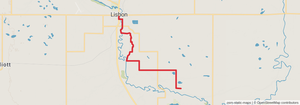
Starting at: Lisbon, Ransom County, 58054
Ending at: Scenic Theater, Lisbon, Ransom County, 58054
Distance: 13.0 km
Elevation gain: 130 m
Duration: 02:49:14
View on mapstage 212
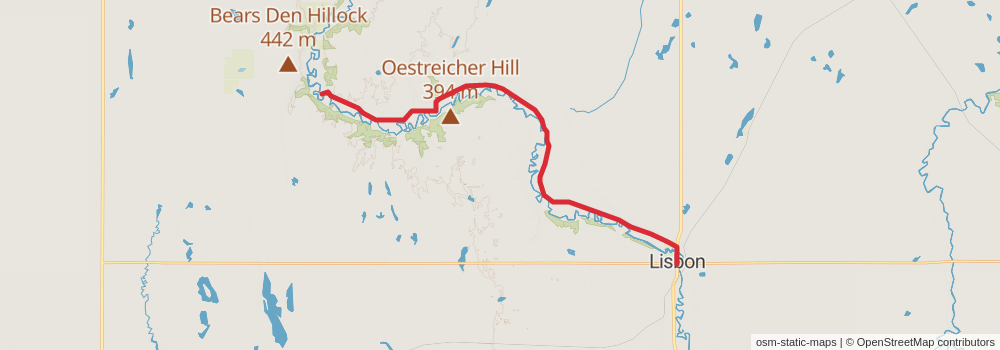
Starting at: Lisbon, Ransom County, 58054
Ending at: Fort Ransom, Ransom County, 58033
Distance: 26.2 km
Elevation gain: 182 m
Duration: 05:32:32
View on mapstage 213
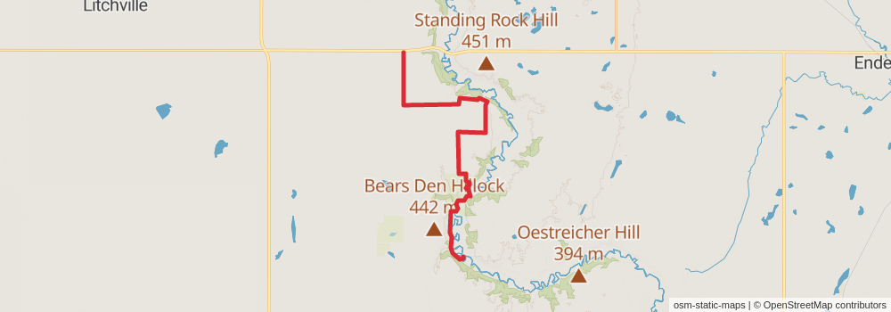
Starting at: Fort Ransom, Ransom County, 58033
Ending at: Kathryn, Ransom County, 58049
Distance: 22.6 km
Elevation gain: 203 m
Duration: 04:51:12
View on mapstage 214

Starting at: Kathryn, Barnes County, 58049
Ending at: Kathryn, Barnes County, 58049
Distance: 7.0 km
Elevation gain: 24 m
Duration: 01:25:58
View on mapstage 215

Starting at: Kathryn, Barnes County, 58049
Ending at: Valley City, Barnes County, 58072
Distance: 24.7 km
Elevation gain: 280 m
Duration: 05:23:47
View on mapstage 216

Starting at: Valley City, Barnes County, 58072
Ending at: Valley City, Barnes County, 58072
Distance: 18.3 km
Elevation gain: 191 m
Duration: 03:58:47
View on mapstage 217

Starting at: Valley City, Barnes County, 58072
Ending at: Stewart, Barnes County, 58072
Distance: 16.5 km
Elevation gain: 106 m
Duration: 03:29:09
View on mapstage 218
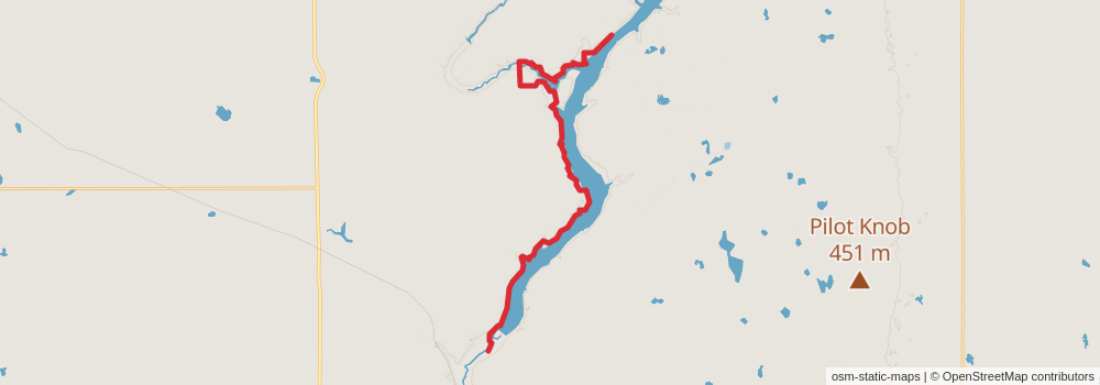
Starting at: Stewart, Barnes County, 58072
Ending at: Dazey, Barnes County, 58429
Distance: 27.2 km
Elevation gain: 449 m
Duration: 06:11:10
View on mapstage 219
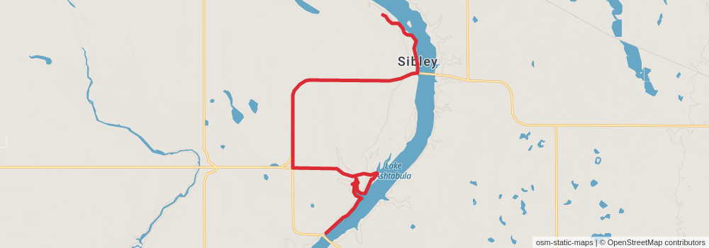
Starting at: Barnes County, 58429
Ending at: Sibley Trail, Barnes County, 58429
Distance: 18.5 km
Elevation gain: 173 m
Duration: 03:59:00
View on mapstage 220

Starting at: Sibley Trail, Barnes County, 58429
Ending at: Riverside, Steele County, 58056
Distance: 13.8 km
Elevation gain: 95 m
Duration: 02:54:58
View on mapstage 221
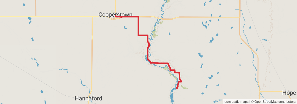
Starting at: Riverside, Steele County, 58056
Ending at: Cooperstown, Griggs County, 58425
Distance: 24.2 km
Elevation gain: 150 m
Duration: 05:04:52
View on mapstage 222

Starting at: Cooperstown, Griggs County, 58425
Ending at: Binford, Griggs County, 58416
Distance: 29.7 km
Elevation gain: 207 m
Duration: 06:16:30
View on mapstage 223
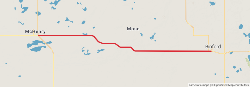
Starting at: Binford, Griggs County, 58416
Ending at: McHenry, Foster County, 58464
Distance: 18.5 km
Elevation gain: 103 m
Duration: 03:52:07
View on mapstage 224

Starting at: McHenry, Foster County, 58464
Ending at: New Rockford, Foster County, 58356
Distance: 27.6 km
Elevation gain: 142 m
Duration: 05:45:58
View on mapstage 225
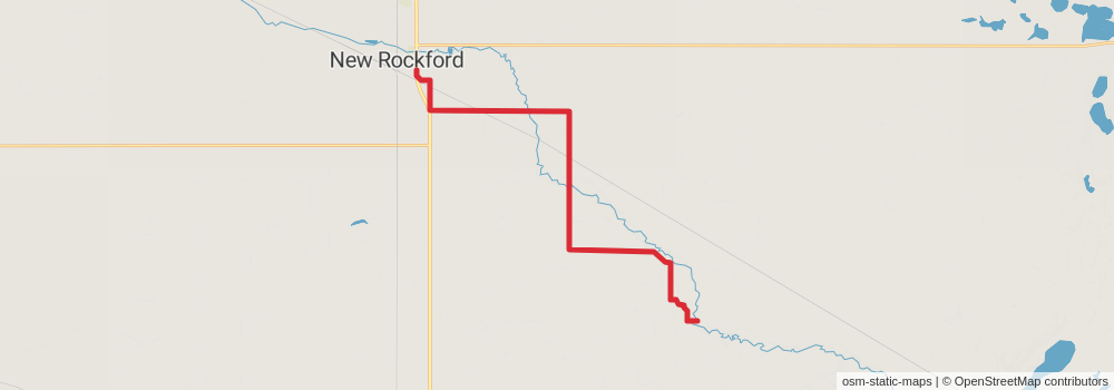
Starting at: New Rockford, Foster County, 58356
Ending at: New Rockford, Eddy County, 58356
Distance: 23.8 km
Elevation gain: 99 m
Duration: 04:55:47
View on mapstage 226
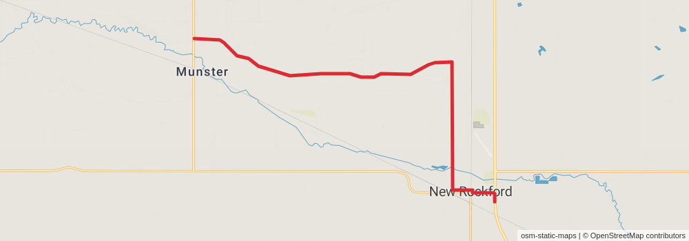
Starting at: New Rockford, Eddy County, 58356
Ending at: New Rockford, Eddy County, 58356
Distance: 17.0 km
Elevation gain: 79 m
Duration: 03:32:19
View on mapstage 227

Starting at: New Rockford, Eddy County, 58356
Ending at: Wells County, 58438
Distance: 19.6 km
Elevation gain: 117 m
Duration: 04:07:27
View on mapstage 228

Starting at: Hamberg, Wells County, 58438
Distance: 24.8 km
Elevation gain: 74 m
Duration: 05:04:30
View on mapstage 229
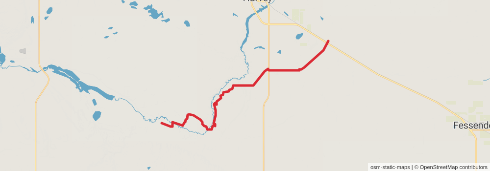
Ending at: Harvey, Sheridan County, 58341
Distance: 27.0 km
Elevation gain: 216 m
Duration: 05:45:51
View on mapstage 230
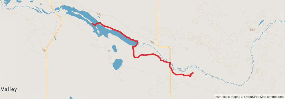
Starting at: Harvey, Sheridan County, 58341
Ending at: Sheridan County, 58758
Distance: 13.4 km
Elevation gain: 51 m
Duration: 02:46:23
View on mapstage 231
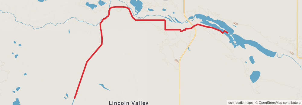
Starting at: Sheridan County, 58758
Ending at: Denhoff, Sheridan County, 58430
Distance: 21.0 km
Elevation gain: 187 m
Duration: 04:30:54
View on mapstage 232
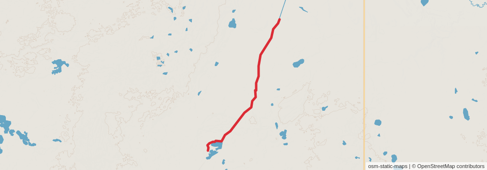
Starting at: Mcclusky, Sheridan County, 58463
Ending at: McClusky, Sheridan County, 58463
Distance: 17.4 km
Elevation gain: 153 m
Duration: 03:44:29
View on mapstage 233

Starting at: McClusky, Sheridan County, 58463
Ending at: Burleigh County, 58579
Distance: 35.1 km
Elevation gain: 162 m
Duration: 07:17:10
View on mapstage 234

Starting at: Burleigh County, 58579
Ending at: McLean County, 58559
Distance: 11.9 km
Elevation gain: 79 m
Duration: 02:31:12
View on mapstage 235
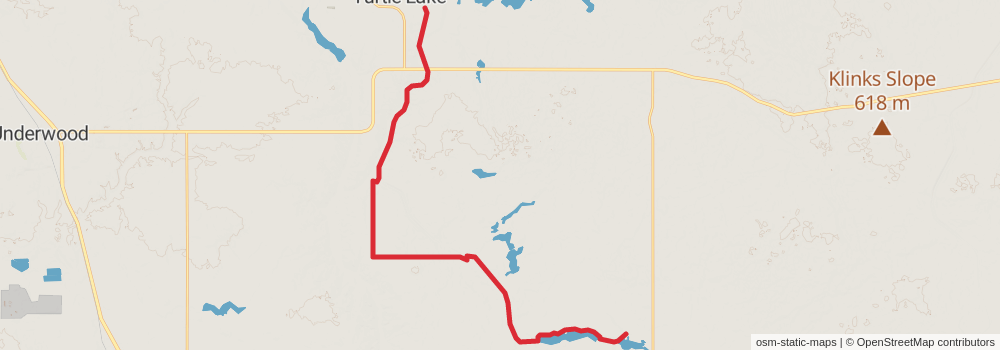
Starting at: McLean County, 58559
Ending at: McLean County, 58575
Distance: 31.3 km
Elevation gain: 264 m
Duration: 06:41:25
View on mapstage 236

Starting at: McLean County, 58575
Ending at: Coleharbor, McLean County, 58531
Distance: 23.0 km
Elevation gain: 103 m
Duration: 04:45:48
View on mapstage 237

Starting at: Coleharbor, McLean County, 58531
Ending at: McLean County, 58531
Distance: 9.7 km
Elevation gain: 86 m
Duration: 02:05:02
View on mapstage 238
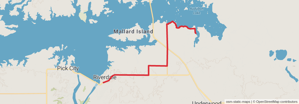
Starting at: McLean County, 58531
Ending at: Riverdale, McLean County, 58565
Distance: 27.4 km
Elevation gain: 142 m
Duration: 05:43:34
View on mapstage 239
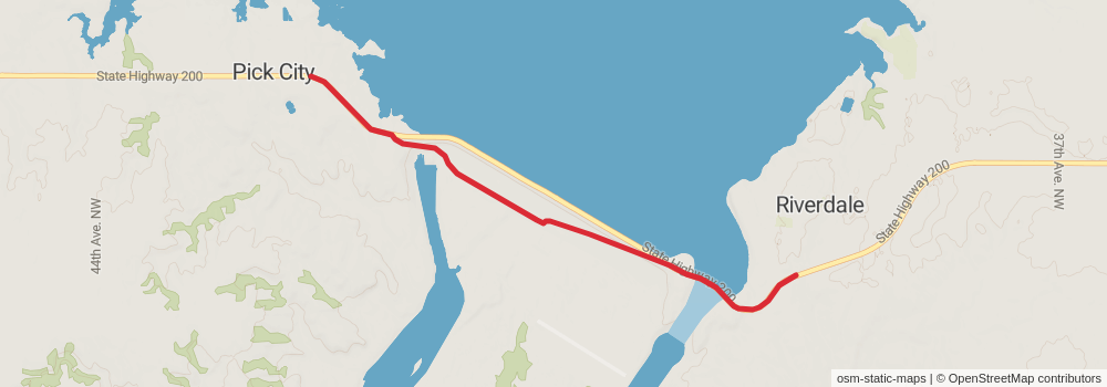
Starting at: Riverdale, McLean County, 58565
Ending at: Pick City, Mercer County, 58545
Distance: 6.7 km
Elevation gain: 79 m
Duration: 01:28:35
View on mapstage 240

Starting at: Pick City, Mercer County, 58545
Ending at: Beulah, Mercer County, 58523
Distance: 27.5 km
Elevation gain: 249 m
Duration: 05:54:39
View on map