American Perimeter Trail - North Country Primary trail stages
stage 121
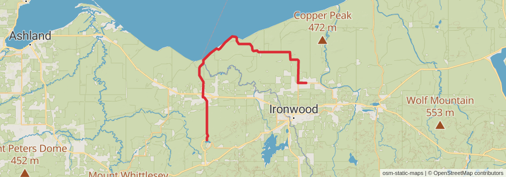
Starting at: Ironwood, Gogebic County, 49938
Ending at: Mineral Point, Iron County, 54565
Distance: 49.7 km
Elevation gain: 469 m
Duration: 10:43:34
View on mapstage 122
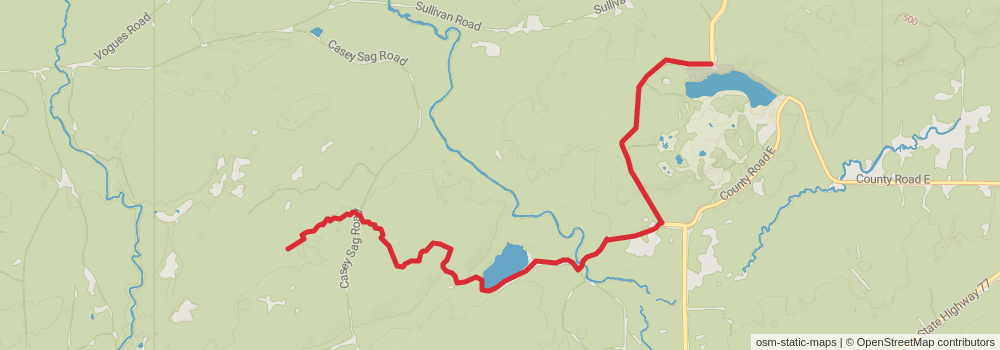
Starting at: Mineral Point, Iron County, 54565
Ending at: Gold Mine West, Upson, Iron County, 54565
Distance: 10.2 km
Elevation gain: 207 m
Duration: 02:23:08
View on mapstage 123
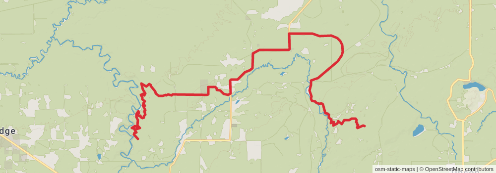
Starting at: Gold Mine West, Upson, Iron County, 54565
Ending at: Morse, Ashland County, 54546
Distance: 29.9 km
Elevation gain: 484 m
Duration: 06:47:14
View on mapstage 124
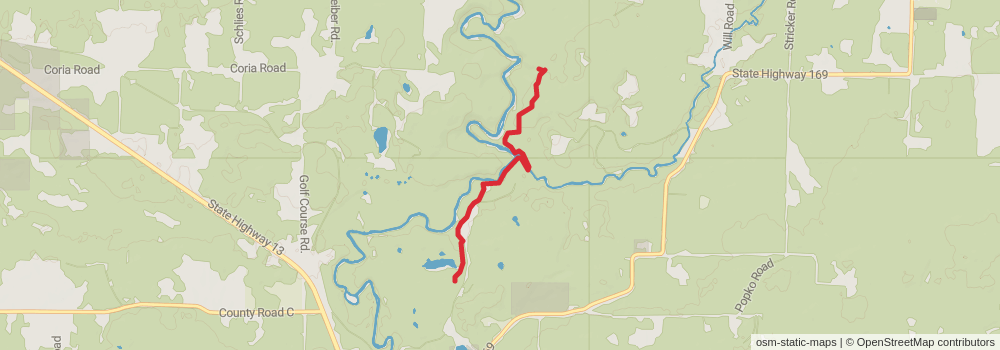
Starting at: Morse, Ashland County, 54546
Ending at: Morse, Ashland County, 54546
Distance: 4.3 km
Elevation gain: 163 m
Duration: 01:08:01
View on mapstage 125
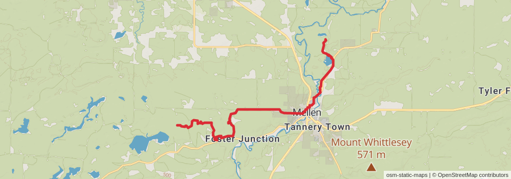
Starting at: Morse, Ashland County, 54546
Distance: 15.4 km
Elevation gain: 311 m
Duration: 03:35:22
View on mapstage 126
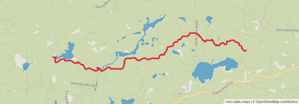
Ending at: Mellen, Ashland County, 54546
Distance: 11.6 km
Elevation gain: 221 m
Duration: 02:41:28
View on mapstage 127
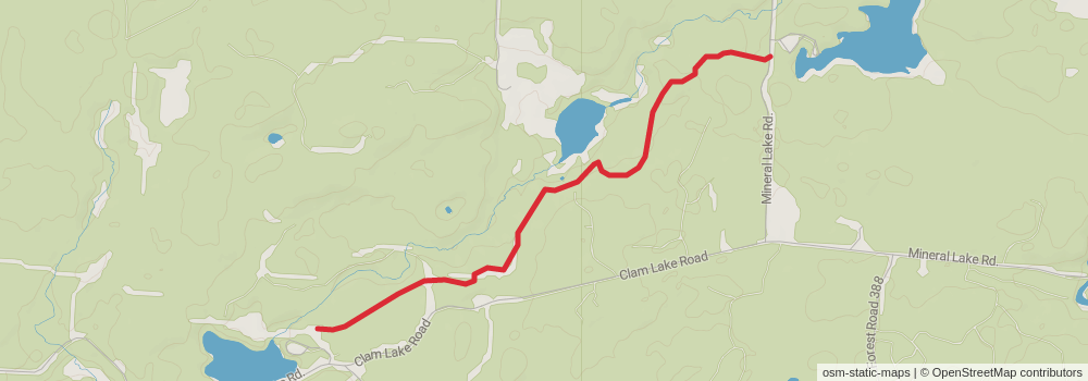
Starting at: Marengo, Ashland County, 54855
Ending at: Marengo, Ashland County, 54855
Distance: 3.8 km
Elevation gain: 128 m
Duration: 00:58:54
View on mapstage 128
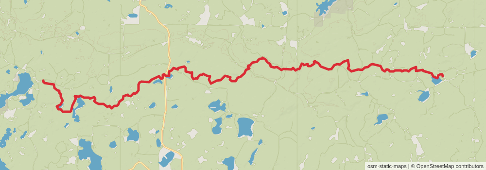
Starting at: Marengo, Ashland County, 54855
Ending at: Cable, Bayfield County, 54821
Distance: 32.0 km
Elevation gain: 1248 m
Duration: 08:28:49
View on mapstage 129
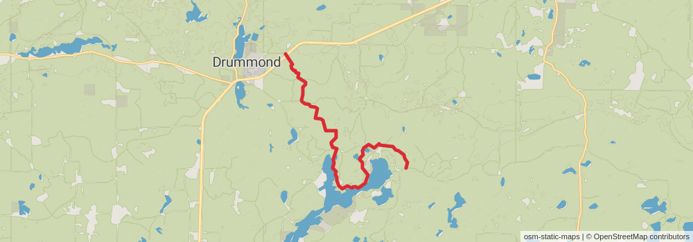
Starting at: Cable, Bayfield County, 54821
Ending at: Drummond, Bayfield County, 54832
Distance: 12.2 km
Elevation gain: 265 m
Duration: 02:53:23
View on mapstage 130
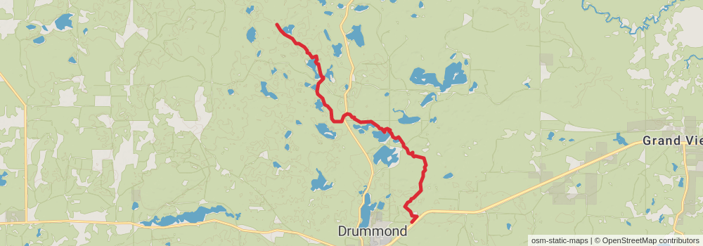
Starting at: Drummond, Bayfield County, 54832
Ending at: Drummond, Bayfield County, 54832
Distance: 12.9 km
Elevation gain: 405 m
Duration: 03:15:44
View on mapstage 131
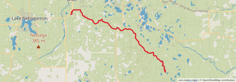
Starting at: Mason, Bayfield County, 54856
Ending at: Town of Brule, Bayfield County, 54820
Distance: 35.4 km
Elevation gain: 861 m
Duration: 08:30:29
View on mapstage 132
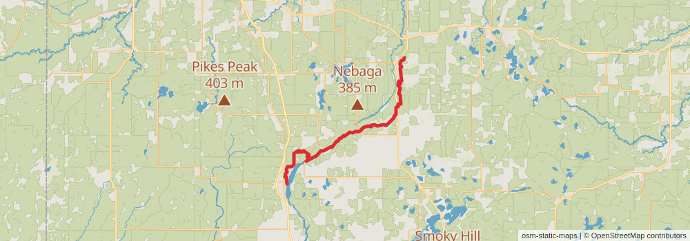
Starting at: Town of Brule, Douglas County, 54820
Distance: 41.8 km
Elevation gain: 793 m
Duration: 09:40:20
View on mapstage 133
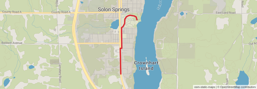
Ending at: Solon Springs, Douglas County, 54873
Distance: 2.0 km
Elevation gain: 19 m
Duration: 00:25:34
View on mapstage 134
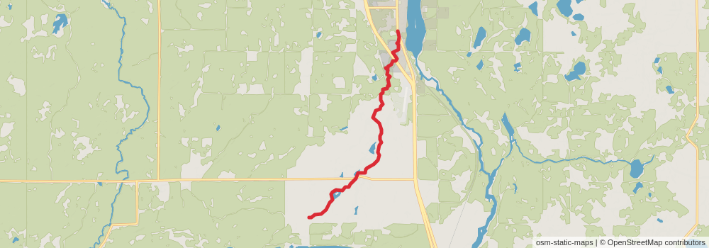
Starting at: Solon Springs, Douglas County, 54873
Ending at: Gordon, Douglas County, 54838
Distance: 10.1 km
Elevation gain: 166 m
Duration: 02:17:32
View on mapstage 135
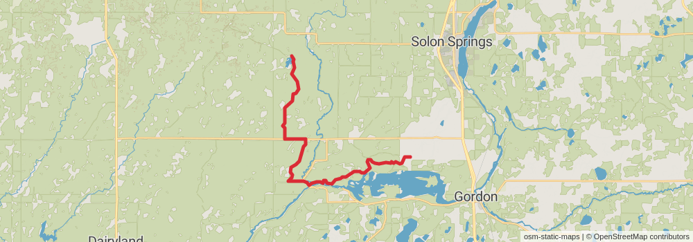
Starting at: Gordon, Douglas County, 54838
Ending at: Gordon, Douglas County, 54838
Distance: 25.3 km
Elevation gain: 177 m
Duration: 05:20:57
View on mapstage 136
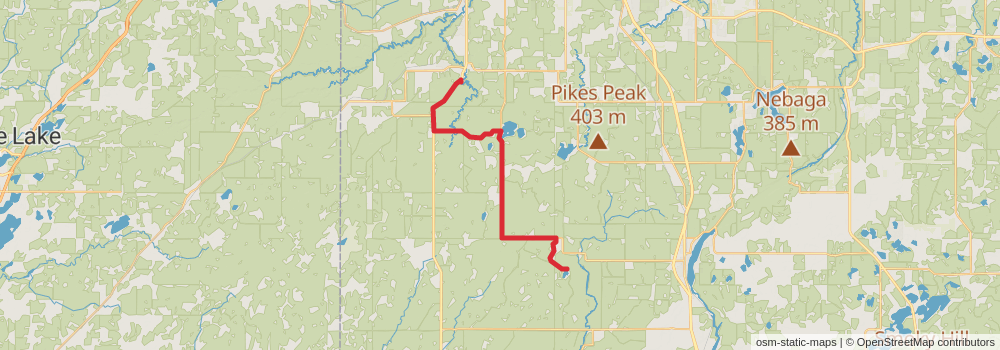
Starting at: Solon Springs, Douglas County, 54873
Ending at: Town of Superior, Douglas County, 54836
Distance: 36.5 km
Elevation gain: 194 m
Duration: 07:37:13
View on mapstage 137
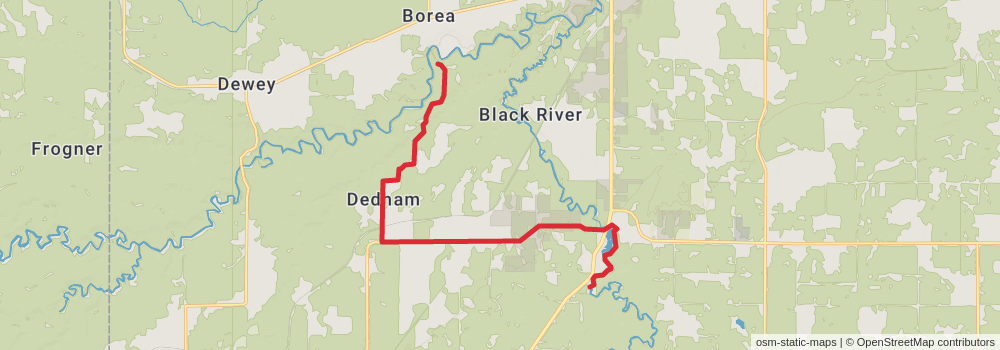
Starting at: Town of Superior, Douglas County, 54836
Ending at: Superior, Douglas County, 54836
Distance: 14.5 km
Elevation gain: 103 m
Duration: 03:04:42
View on mapstage 138
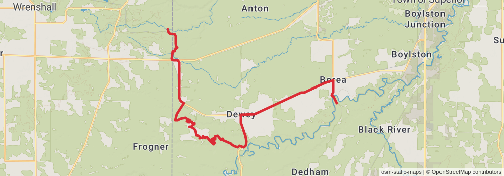
Starting at: Superior, Douglas County, 54836
Distance: 20.6 km
Elevation gain: 255 m
Duration: 04:33:09
View on mapstage 139
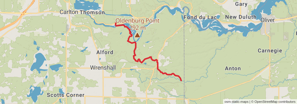
Starting at: Red River Valley, Duluth, Carlton County, 55797
Ending at: Carlton, Carlton County, 55733
Distance: 12.1 km
Elevation gain: 394 m
Duration: 03:04:54
View on mapstage 140
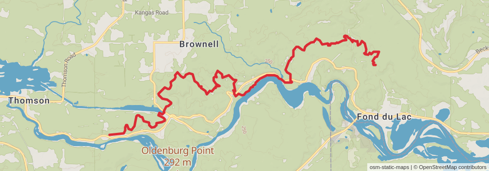
Starting at: Carlton, Carlton County, 55733
Ending at: Duluth, St. Louis County, 55808
Distance: 15.4 km
Elevation gain: 512 m
Duration: 03:55:48
View on mapstage 141
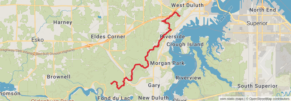
Starting at: Duluth, St. Louis County, 55808
Ending at: Duluth, St. Louis County, 55807
Distance: 16.3 km
Elevation gain: 735 m
Duration: 04:29:30
View on mapstage 142
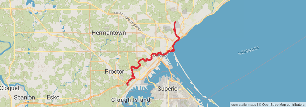
Starting at: Duluth, St. Louis County, 55807
Ending at: Duluth, St. Louis County, 55811
Distance: 25.9 km
Elevation gain: 996 m
Duration: 06:49:57
View on mapstage 143
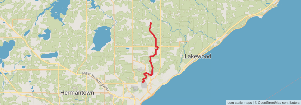
Starting at: Duluth, St. Louis County, 55811
Ending at: Rice Lake, St. Louis County, 55803
Distance: 15.9 km
Elevation gain: 355 m
Duration: 03:46:43
View on mapstage 144
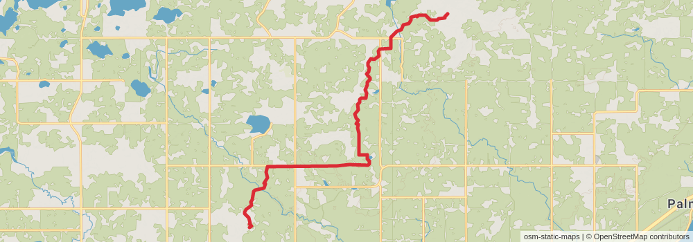
Starting at: Rice Lake, St. Louis County, 55803
Distance: 16.6 km
Elevation gain: 198 m
Duration: 03:39:01
View on mapstage 145
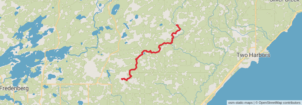
Starting at: Heron Pond, Duluth, Saint Louis County, 55804
Distance: 22.3 km
Elevation gain: 483 m
Duration: 05:15:42
View on mapstage 146
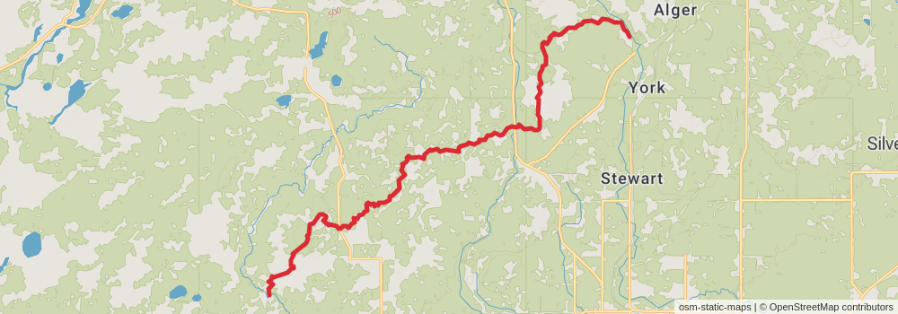
Starting at: Big Bend, Two Harbors, Saint Louis County, 55616
Ending at: Two Harbors, Lake County, 55616
Distance: 20.1 km
Elevation gain: 448 m
Duration: 04:45:40
View on mapstage 147
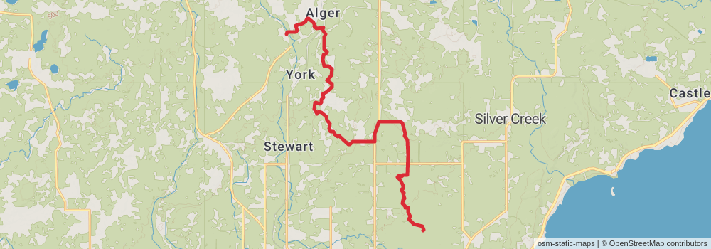
Starting at: Two Harbors, Lake County, 55616
Distance: 16.3 km
Elevation gain: 235 m
Duration: 03:38:38
View on mapstage 148
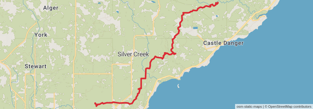
Starting at: Silver Creek, Two Harbors, Lake County, 55616
Ending at: Silver Creek, Lake County, 55616
Distance: 20.0 km
Elevation gain: 568 m
Duration: 04:56:44
View on mapstage 149
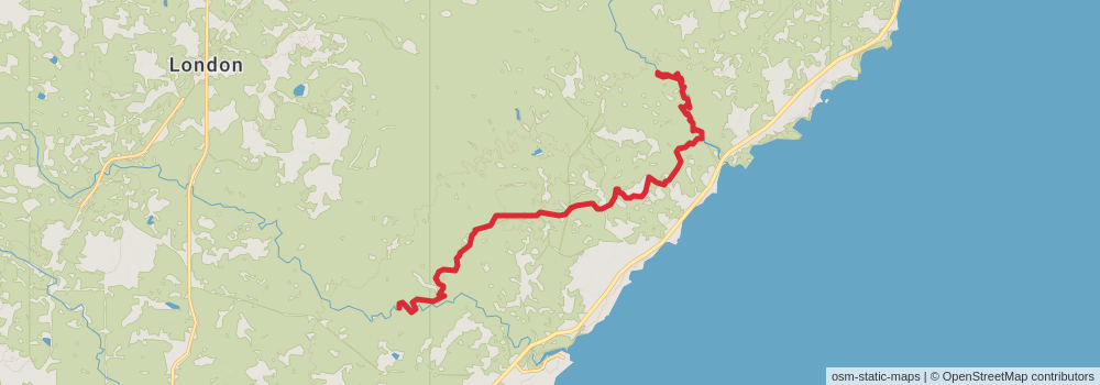
Starting at: Silver Creek, Lake County, 55616
Ending at: Silver Creek, Lake County, 55614
Distance: 15.4 km
Elevation gain: 441 m
Duration: 03:48:19
View on mapstage 150
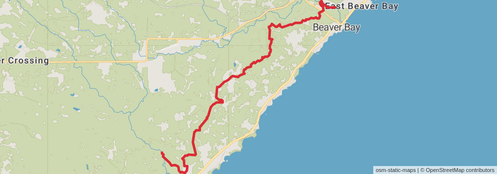
Starting at: Silver Creek, Lake County, 55614
Distance: 19.7 km
Elevation gain: 662 m
Duration: 05:02:40
View on map