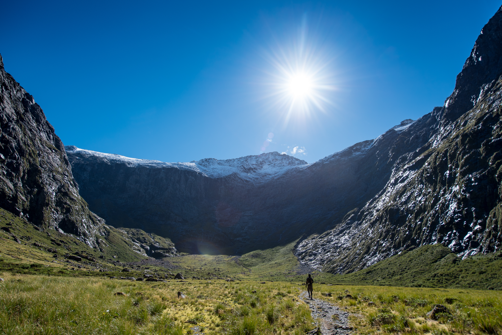
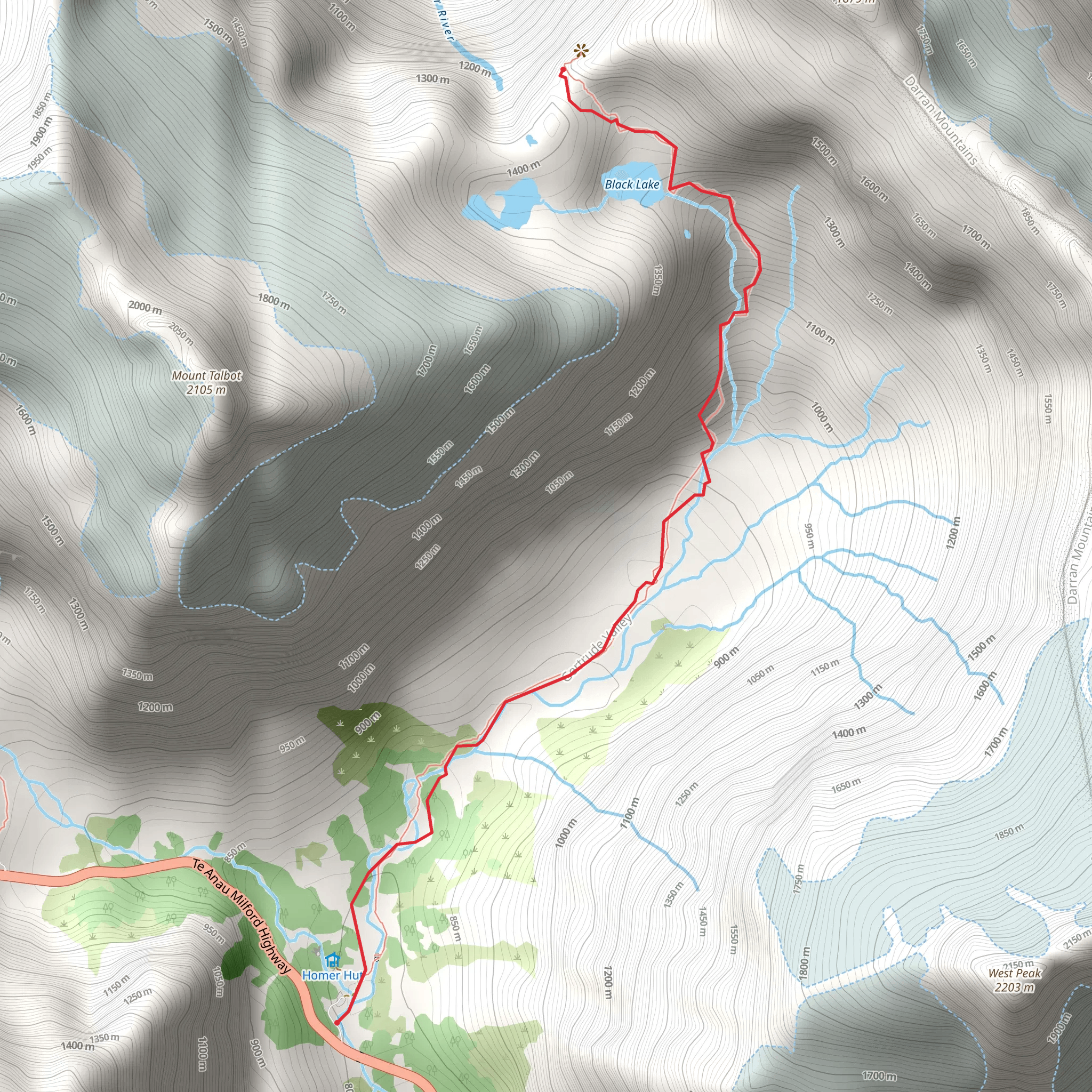
A difficult 7 km out and back trail, the Gertrude Saddle Route starts from the Gerturde Valley car park, a 20-minute drive from the Milford Sound fiord in the southwest of New Zealand’s South Island. This beautiful but challenging route should only ever be attempted during the summer months in good weather, as it takes in rocky alpine terrain and wet weather, ice and snow can be treacherous during year-round. The route passes avalanche paths and involves river crossings, scrambling over rock sections and climbing steep granite slabs where there are steel cables to assist so is only recommended for experienced ‘trampers’, hikers, with mountain navigation skills. The car park and trail head can be found 98 km along the Milford Road from Te Anau, and the trail starts gently, taking in the glacial valley before heading up towards the saddle. There are spectacular views through the valley from the Gertrude Saddle at 1,410 m, after which there are no permanent trail markers here above the bush line. Which is why confident navigational skills are essential, whilst also being equipped for changeable inclement weather at all times. The trail crosses the Gertrude Stream below a large waterfall half way to Black Lake. There are steep sections here, as the trail leads to the sheer granite slabs and then through boulders to reach the saddle. From the highest point views down the valley are breath-taking, with far-reaching views and Milford Sound/ Piopiotahi in the distance. The Gertrude Saddle track is a gateway to the mountains and peaks of Barrier Knob (1,879 m) or Mt Talbot (2,105 m) for experienced mountaineers and climbers prepared with the right equipment. Based on our data, the trail is graded as difficult. For information on how we grade trails, please click here. Also, check our latest community posts for trail updates.This trail can be completed in approx 4 – 6 hours. Caution is advised on trail times as this depends on multiple variables. For more info, click here.