The best hikes in Unterallgäu
Germany · 9 HiiKER Hikes
View Hikes on map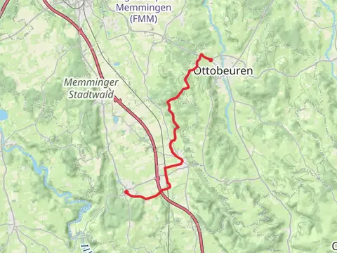

What to expect
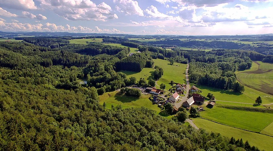
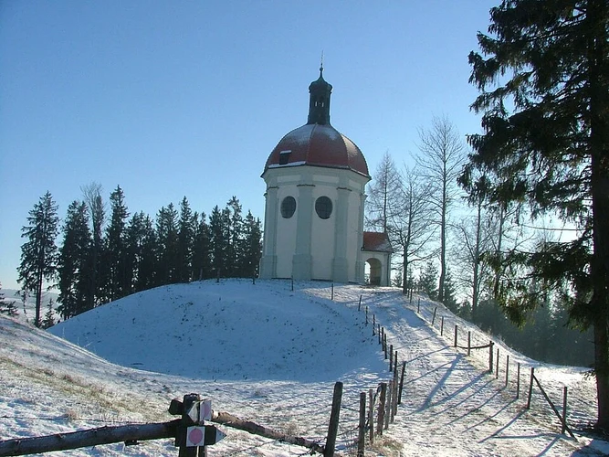
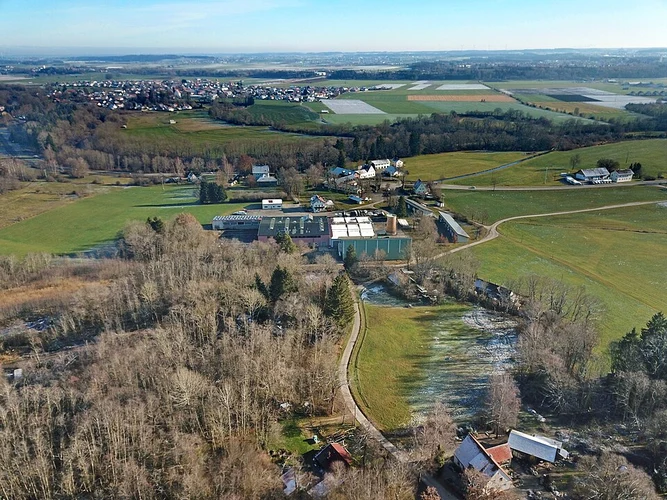
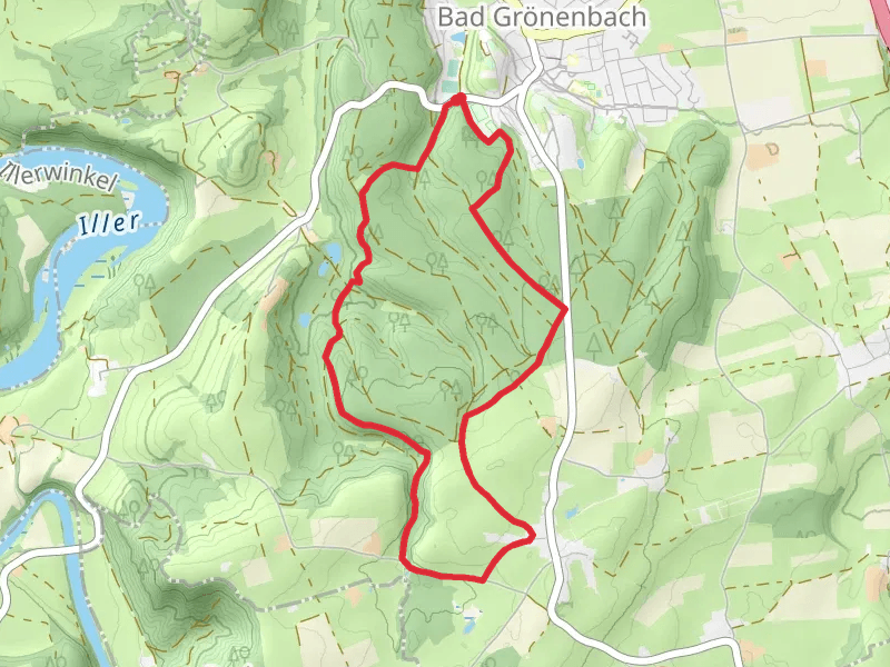
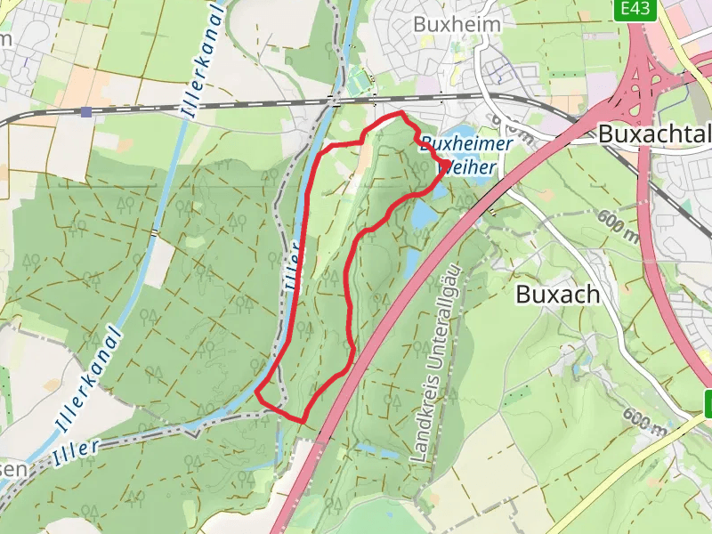
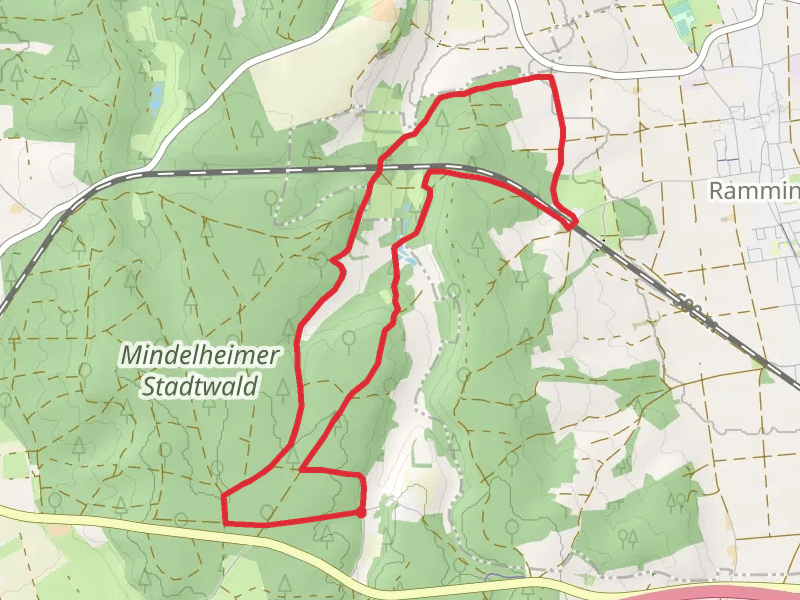
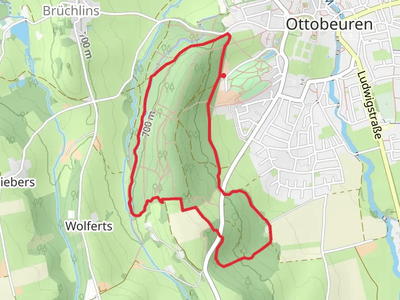
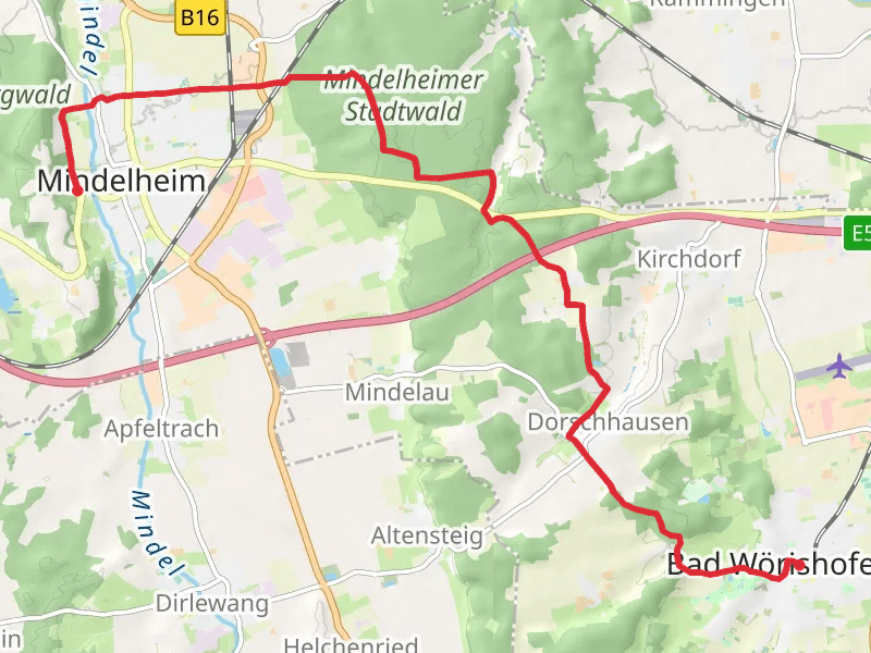
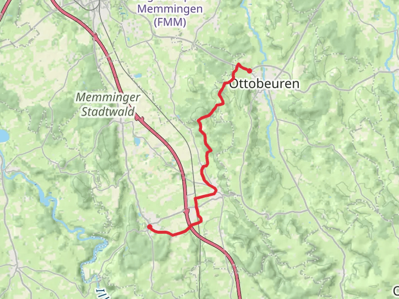
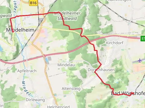
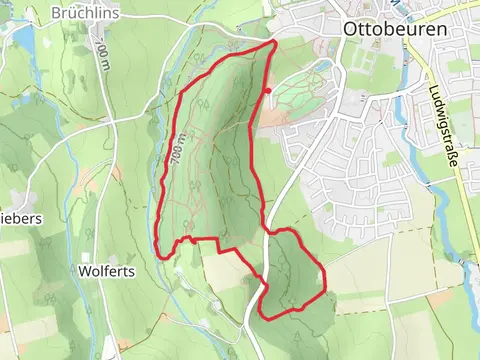
Check out some of the best hiking, walking and backpacking routes in Unterallgäu, Germany. The Bad Grönenbach to Illerbeuren Walk via Hohes Schloss is the most popular trail. The trails have 7 user reviews with great photos and information. There are trails of various difficulty levels including easy and medium. The trail with the highest elevation climb is the Gronenbacher Wald Loop via Manneberg and the trail with the least amount of climbing is the Arlach to Benningen Walk. The longest trail is the Ottebeuren to Bad Gronenbach Walk at 15.6 km. For a shorter adventure you can try the Volkssternwarte and Wassertretanlage Loop via Terrainweg I at 4.7 km. Get off line access to Town, gate, Restaurant, and parking locations and much more with a Hiiker subscription.

Be prepared for hiking in Germany with the HiiKER app