Download
Preview
Add to list
More
8.0 km
~1 hrs 51 min
155 m
Loop
“Discover the scenic Gronenbacher Wald Loop via Manneberg, an 8 km hike blending nature, history, and moderate challenge.”
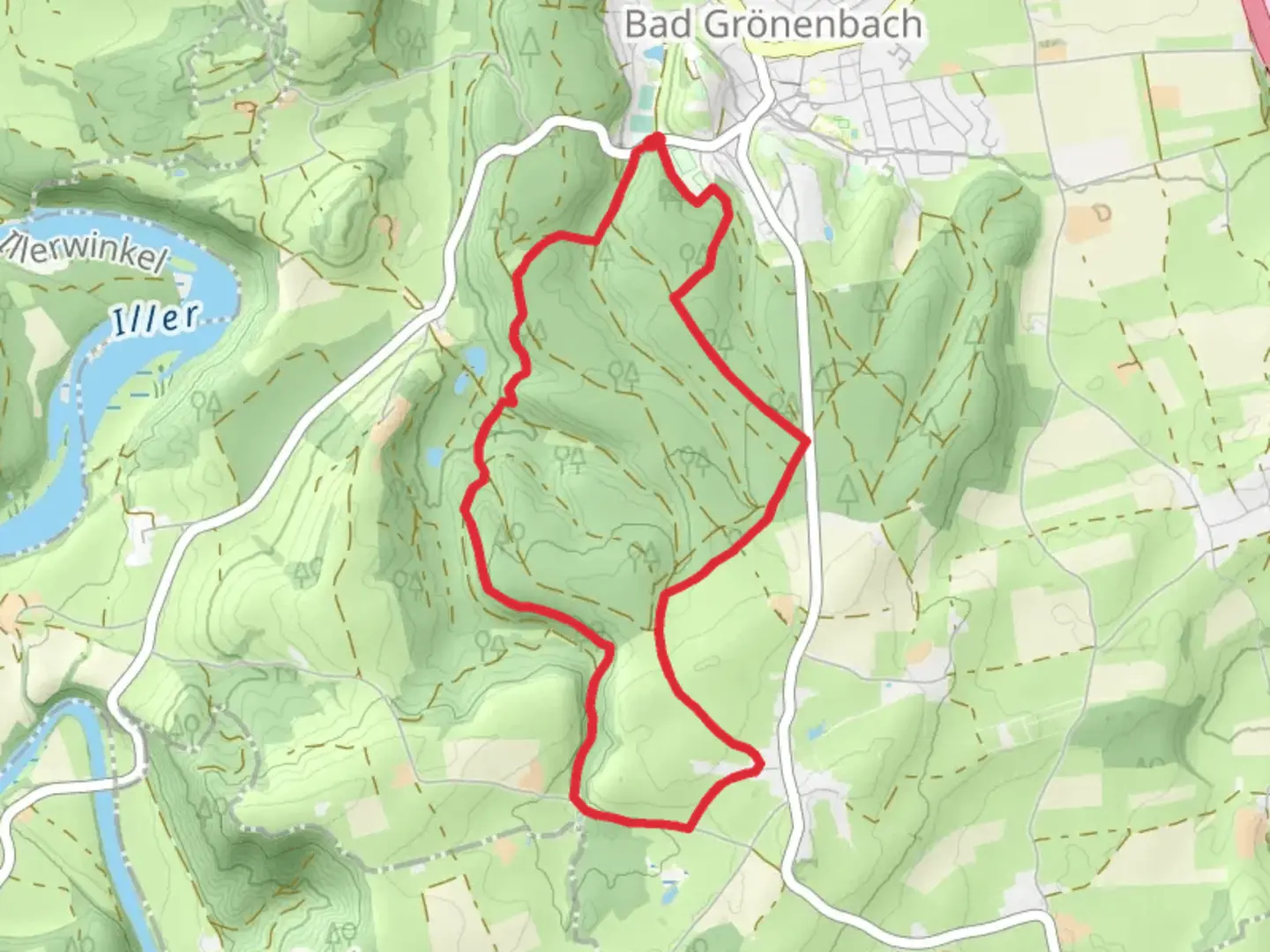
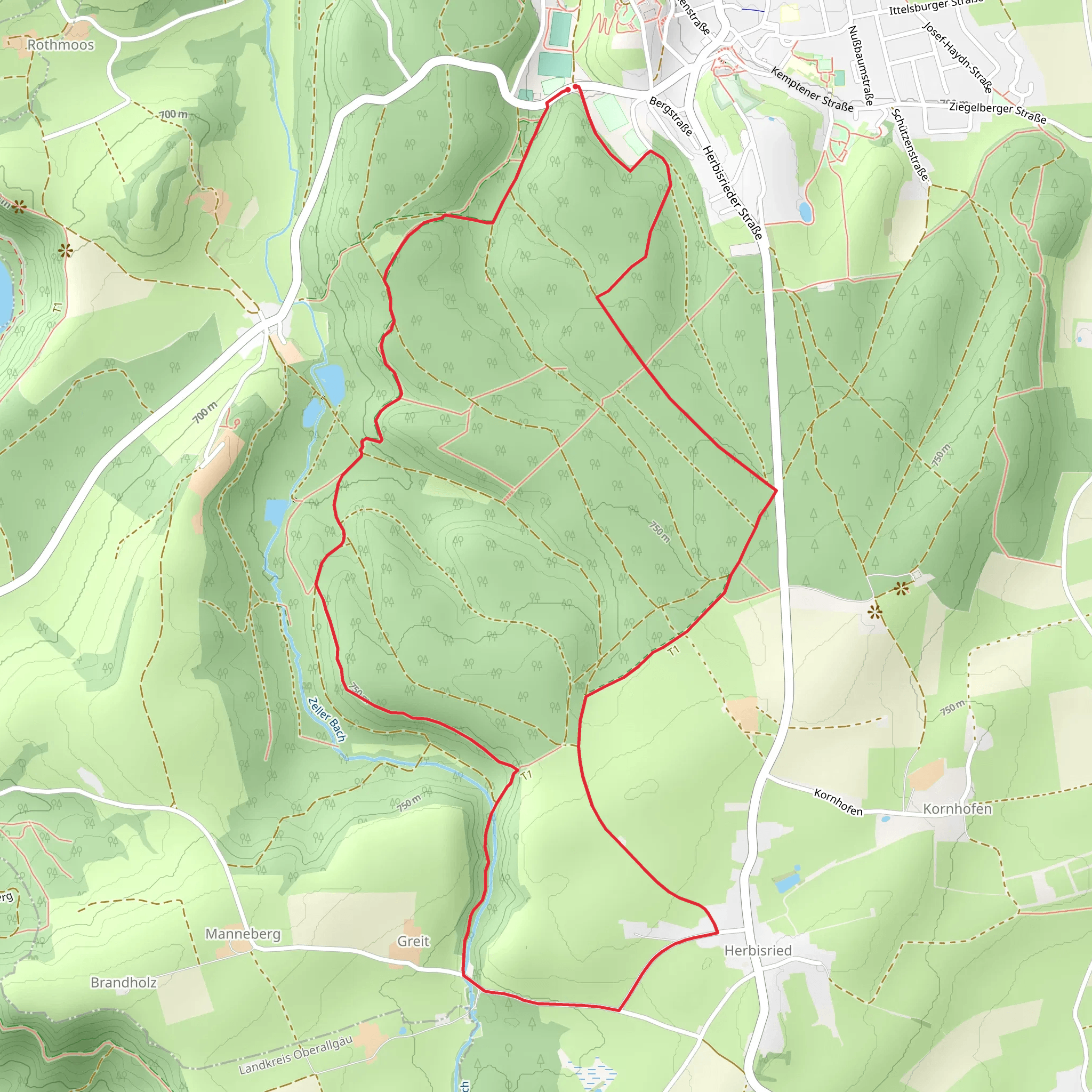
Starting near Unterallgäu, Germany, the Gronenbacher Wald Loop via Manneberg is an 8 km (approximately 5 miles) loop trail with an elevation gain of around 100 meters (328 feet). This trail is rated as medium difficulty, making it suitable for moderately experienced hikers.
Getting There To reach the trailhead, you can drive or use public transport. If driving, head towards the town of Bad Grönenbach in the Unterallgäu district. The nearest significant landmark is the Bad Grönenbach train station, which is well-connected to major cities like Munich and Augsburg. From the train station, it's a short taxi ride or a local bus trip to the trailhead.
Trail Navigation For navigation, it's highly recommended to use the HiiKER app, which provides detailed maps and real-time updates. The trail is well-marked, but having a reliable navigation tool will enhance your hiking experience.
Trail Description The trail begins in a lush forested area, offering a serene start with the sounds of birds and rustling leaves. As you proceed, you'll encounter a gentle ascent, gaining about 50 meters (164 feet) in the first 2 km (1.2 miles). This section is shaded and cool, making it a pleasant hike even in warmer weather.
Manneberg Ascent Around the 3 km (1.8 miles) mark, you'll reach the base of Manneberg. The ascent here is the most challenging part of the hike, with a steeper climb of about 30 meters (98 feet) over a short distance. The effort is well worth it, as the summit offers panoramic views of the surrounding Allgäu region. On clear days, you can see the distant Alps, a breathtaking sight that makes for excellent photo opportunities.
Historical Significance The area around Manneberg has historical significance dating back to medieval times. The nearby town of Bad Grönenbach is home to Grönenbach Castle, a well-preserved structure from the 12th century. While the castle itself is not on the trail, its historical influence permeates the region, adding a layer of cultural richness to your hike.
Flora and Fauna Descending from Manneberg, the trail meanders through mixed woodlands and open meadows. This section is particularly rich in biodiversity. Keep an eye out for native wildlife such as deer, foxes, and a variety of bird species. The flora is equally impressive, with seasonal wildflowers adding splashes of color to the landscape.
Return Loop The final 3 km (1.8 miles) of the trail are relatively flat, making for an easy and relaxing return to the trailhead. This section passes through more open areas, offering different perspectives of the surrounding countryside. You'll cross a few small streams, which are perfect spots to take a short break and enjoy the tranquility of nature.
Practical Tips - Wear sturdy hiking boots, as the trail can be uneven in places. - Bring enough water and snacks, especially if you plan to take your time and enjoy the scenery. - Check the weather forecast before heading out, as conditions can change rapidly in this region. - Use the HiiKER app for real-time navigation and updates.
This trail offers a balanced mix of natural beauty, moderate physical challenge, and historical context, making it a rewarding experience for any hiker.
What to expect?
Activity types
Comments and Reviews
User comments, reviews and discussions about the Gronenbacher Wald Loop via Manneberg, Germany.
4.5
average rating out of 5
2 rating(s)
