12.7 km
~2 hrs 59 min
269 m
“Explore the scenic Rhein-Sieg-Kreis on a 13 km trail rich in nature, history, and panoramic views.”
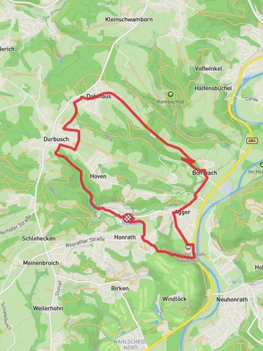
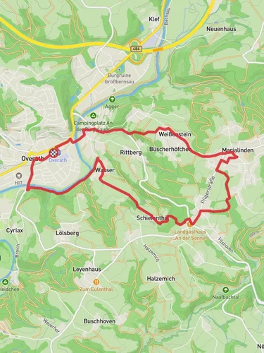
Starting near Rhein-Sieg-Kreis, Germany, the Gammersbach and Windloeck via Bauernhofweg trail is a picturesque loop that spans approximately 13 km (8 miles) with an elevation gain of around 200 meters (656 feet). This medium-difficulty trail offers a delightful mix of natural beauty, historical landmarks, and serene countryside.
### Getting There To reach the trailhead, you can either drive or use public transport. If driving, set your GPS to the nearest known address: Bauernhofweg, 53797 Lohmar, Germany. For those using public transport, take a train to the Lohmar station and then a local bus or taxi to Bauernhofweg.
### Trail Overview The trail begins at Bauernhofweg, a charming rural area that immediately immerses you in the tranquil German countryside. As you start your hike, you'll notice the well-marked paths that guide you through lush forests and open fields. The initial part of the trail is relatively flat, making it an excellent warm-up for the more challenging sections ahead.
### Key Landmarks and Points of Interest #### Gammersbach Around the 3 km (1.8 miles) mark, you'll reach Gammersbach, a small stream that adds a soothing soundtrack to your hike. The area around Gammersbach is rich in flora and fauna, so keep an eye out for local wildlife such as deer and various bird species.
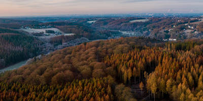
#### Windloeck Continuing on, you'll ascend towards Windloeck, reaching the highest point of the trail at approximately 6 km (3.7 miles). The elevation gain here is about 100 meters (328 feet) from the start, offering panoramic views of the surrounding landscape. This is a great spot to take a break and enjoy the scenery.
### Historical Significance The region around Rhein-Sieg-Kreis has a rich history dating back to Roman times. As you hike, you'll come across several historical markers and old farmhouses that tell the story of the area's agricultural heritage. One notable landmark is an old mill located near the 8 km (5 miles) point, which has been preserved as a historical site.
### Navigation and Safety The trail is well-marked, but it's always a good idea to have a reliable navigation tool. HiiKER is an excellent app for this purpose, providing detailed maps and real-time updates. Make sure to wear sturdy hiking boots, as some sections can be muddy, especially after rain.
### Flora and Fauna The trail is a haven for nature lovers. In spring and summer, the fields are adorned with wildflowers, while the forests are home to a variety of trees, including oak, beech, and pine. Wildlife is abundant, so you might spot foxes, rabbits, and a variety of bird species along the way.
### Final Stretch As you loop back towards Bauernhofweg, the trail descends gently, offering a relaxing end to your hike. The final 2 km (1.2 miles) take you through more open fields and pastures, providing a peaceful conclusion to your journey.
This trail offers a perfect blend of natural beauty, historical intrigue, and moderate physical challenge, making it an ideal choice for hikers looking to explore the scenic Rhein-Sieg-Kreis region.
Reviews
User comments, reviews and discussions about the Gammersbach and Windloeck via Bauernhofweg, Germany.
4.0
average rating out of 5
4 rating(s)


