Download
Preview
Add to list
More
8.8 km
~2 hrs 7 min
218 m
Loop
“Explore the Agger via Die Aggerschleife trail for a moderate, scenic hike rich in history and nature.”
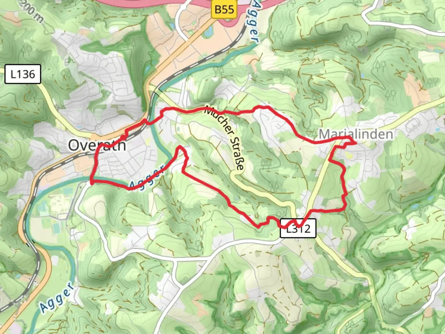
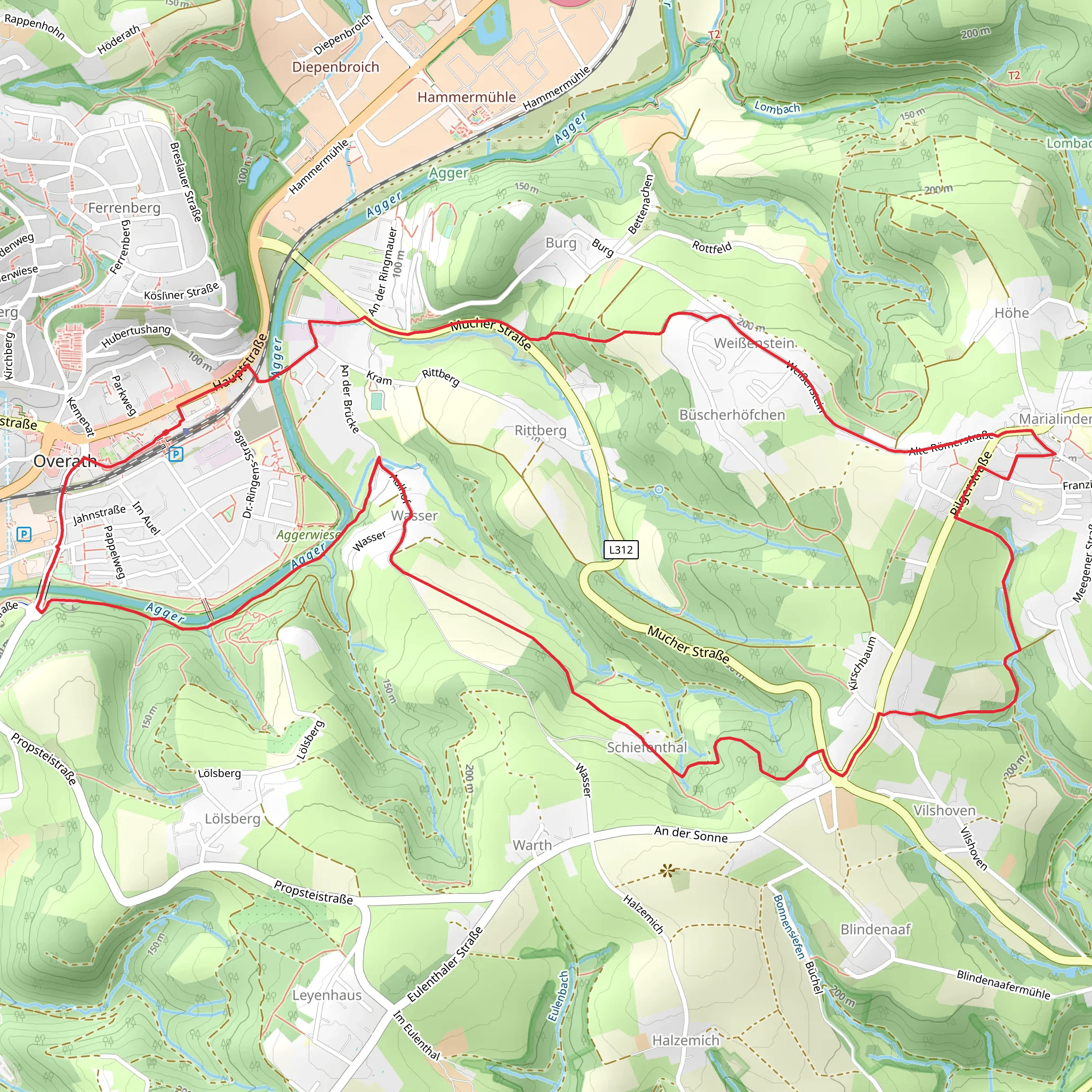
Starting near the Rheinisch-Bergischer Kreis in Germany, this 9 km (approximately 5.6 miles) loop trail offers a moderate challenge with an elevation gain of around 200 meters (656 feet). The trailhead is conveniently accessible by both car and public transport. If you're driving, you can park near the town of Overath, which is the closest significant landmark. For those using public transport, Overath is well-connected by regional trains and buses, making it a convenient starting point.### Trail Navigation and TerrainThe Agger via Die Aggerschleife trail is well-marked, but it's always a good idea to have a reliable navigation tool like HiiKER to ensure you stay on track. The trail meanders through a mix of dense forests, open meadows, and along the serene Agger River. The terrain is varied, with some sections featuring gentle slopes and others requiring a bit more effort due to steeper inclines.### Key Landmarks and Points of Interest- Agger River: One of the highlights of this trail is the Agger River, which you'll follow for a significant portion of the hike. The river is known for its clear waters and picturesque surroundings, making it a perfect spot for a short break or a picnic.
Historical Significance: The region around the Agger River has a rich history. During the hike, you'll come across remnants of old mills and historical buildings that date back several centuries. These structures offer a glimpse into the area's past and its importance in local industry and agriculture.- Flora and Fauna: The trail is abundant with diverse plant and animal life. Depending on the season, you might see wildflowers, various bird species, and even small mammals. The forested sections are particularly lush, providing a cool and shaded environment that is especially pleasant during the warmer months.### Elevation and Physical ChallengeThe trail's elevation gain of 200 meters (656 feet) is spread out over the 9 km (5.6 miles), making it a moderate hike suitable for those with a reasonable level of fitness. The initial part of the trail is relatively flat, but as you progress, you'll encounter more undulating terrain. The most challenging section is a steep climb about halfway through the loop, but the effort is rewarded with stunning views of the surrounding landscape.### Accessibility and Amenities- Getting There: If you're driving, set your GPS to Overath, where you can find parking options. For public transport users, Overath is accessible via regional trains and buses, with services running frequently from major cities like Cologne.
Facilities: There are limited facilities along the trail, so it's advisable to bring sufficient water and snacks. Overath has several cafes and restaurants where you can grab a meal before or after your hike.### Safety and PreparationGiven the moderate difficulty of the trail, it's important to wear appropriate hiking boots and bring a map or use HiiKER for navigation. Weather conditions can change rapidly, so pack a rain jacket and check the forecast before setting out. The trail can be slippery after rain, particularly in the forested sections, so take extra care during wet conditions.This trail offers a perfect blend of natural beauty, historical intrigue, and physical challenge, making it a rewarding experience for any hiker.
What to expect?
Activity types
Comments and Reviews
User comments, reviews and discussions about the Agger via Die Aggerschleife, Germany.
4.0
average rating out of 5
4 rating(s)
