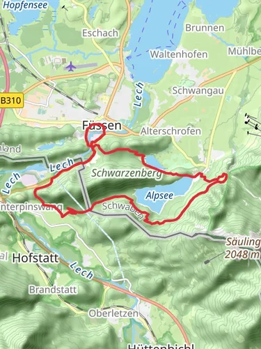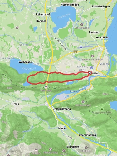
18.7 km
~1 day 0 hrs
976 m
Download
Preview
Add to list
More
“Embark on a captivating hike through Ostallgäu's diverse landscapes, historical sites, and serene alpine beauty.”
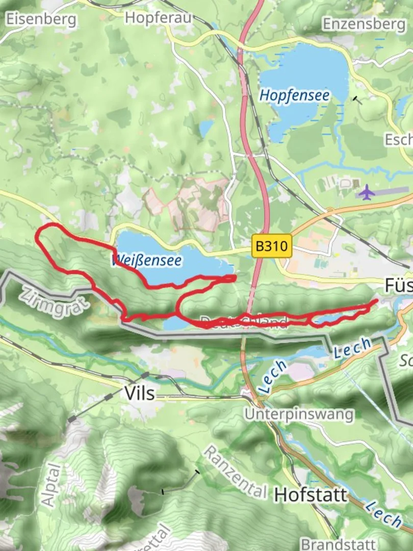
Nestled in the picturesque region of Ostallgäu, Germany, this loop trail offers a captivating journey through diverse landscapes, historical sites, and serene natural beauty. Spanning approximately 19 kilometers (about 11.8 miles) with an elevation gain of around 900 meters (approximately 2,950 feet), this medium-difficulty hike promises an enriching experience for outdoor enthusiasts.
Getting There
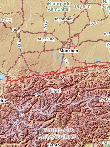
The trailhead is conveniently located near Ostallgäu, a region well-connected by both public transport and road networks. If you're traveling by train, the nearest major station is Füssen, which is accessible from Munich or Augsburg. From Füssen, local buses can take you closer to the trailhead. For those driving, ample parking is available near the starting point, which is easily accessible via the A7 motorway.
Trail Highlights
Bad Faulenbach
The journey begins in the tranquil valley of Bad Faulenbach, known for its therapeutic mineral springs and lush surroundings. As you set off, the gentle paths meander through verdant meadows and dense forests, offering a peaceful start to your adventure. Keep an eye out for the charming wooden bridges and small waterfalls that dot this section, providing perfect spots for a brief rest or photo opportunity.
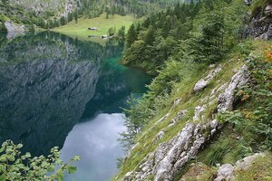
Alatsee
Approximately 5 kilometers (3.1 miles) into the hike, you'll reach the enchanting Alatsee. This small, deep lake is renowned for its unique red algae, which occasionally tints the water a mysterious hue. The lake's serene ambiance makes it an ideal spot for a picnic or a moment of reflection. The surrounding area is rich in folklore, with tales of hidden treasures and ghostly apparitions adding an intriguing layer to your visit.
Weißensee
Continuing on, the trail leads you to Weißensee, another stunning alpine lake located about 10 kilometers (6.2 miles) from the start. The crystal-clear waters and panoramic views of the surrounding mountains make this a highlight of the hike. The area is a haven for birdwatchers, with a variety of species inhabiting the lush forests and open waters. Take a moment to enjoy the tranquility and perhaps spot a rare bird or two.
Burkenbichlberg
The ascent to Burkenbichlberg marks the most challenging part of the hike, with a significant portion of the 900-meter (2,950-foot) elevation gain occurring here. As you climb, the trail offers breathtaking vistas of the Allgäu Alps and the valleys below. The summit provides a rewarding vantage point, where you can pause to soak in the expansive views and appreciate the natural beauty of the region.
Historical Significance
This area is steeped in history, with evidence of human settlement dating back to the Roman era. The trail passes near several historical landmarks, including remnants of ancient fortifications and medieval structures. The region's strategic location has made it a crossroads of cultures and a witness to numerous historical events, adding depth to your hiking experience.
Navigation and Safety
While the trail is well-marked, it's advisable to use HiiKER for navigation to ensure you stay on track and make the most of your journey. The app provides detailed maps and real-time updates, enhancing your safety and enjoyment. Be prepared for changing weather conditions, especially at higher elevations, and carry sufficient water and snacks to sustain you throughout the hike.
This loop trail offers a perfect blend of natural beauty, historical intrigue, and physical challenge, making it a must-visit for hikers exploring the Ostallgäu region.

Reviews
User comments, reviews and discussions about the Bad Faulenbach, Alatsee, Weibensee and Burkenbichlberg Loop, Germany.
0.0
average rating out of 5
0 rating(s)