Castles in North Wales trail stages
stage 1
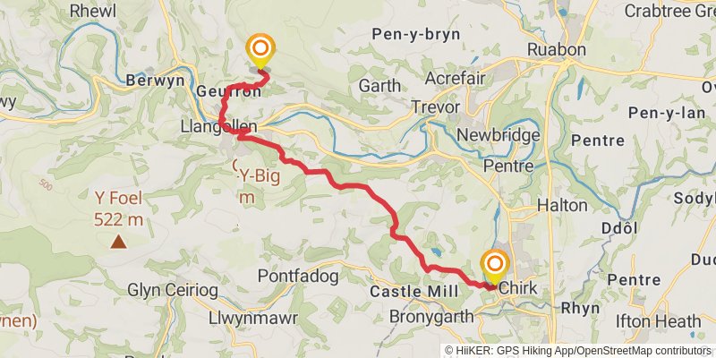
stage 2
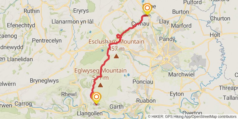
stage 3
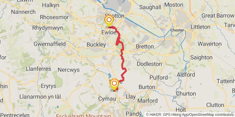
Starting at: Caergwrle, Flintshire, LL12 9HN
Ending at: Aston No.2, Ewloe Green, Flintshire, CH5 3AR
Distance: 18.5 km
Elevation gain: 292 m
Duration: 04:11:28
stage 4
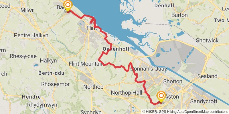
Starting at: Ewloe Green, Flintshire, CH5 3AR
Ending at: Bagillt, Flintshire, CH6 6EA
Distance: 18.7 km
Elevation gain: 231 m
Duration: 04:06:53
stage 5
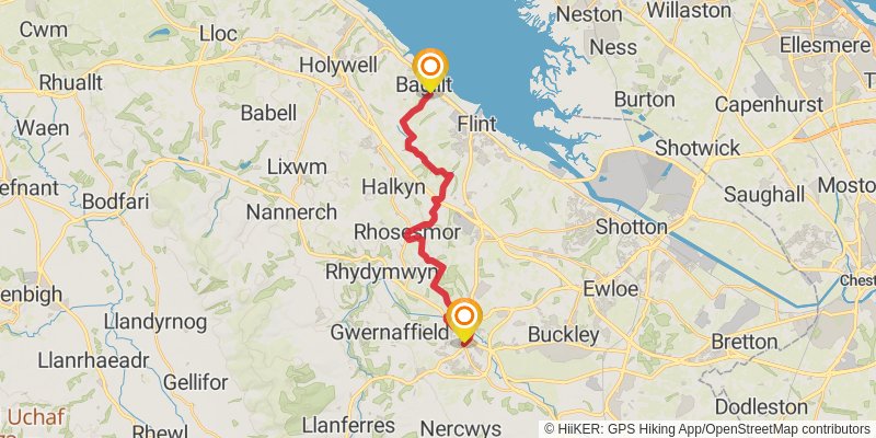
Starting at: Flintshire, CH6 6EA
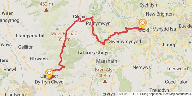
Ending at: Mold, Flintshire, CH7 1AS
Distance: 17.7 km
Elevation gain: 405 m
Duration: 04:13:00
stage 6
stage 7
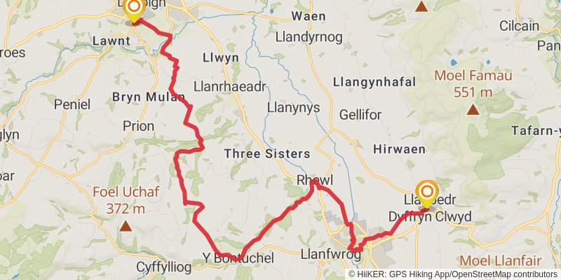
Starting at: Llanbedr Dyffryn Clwyd, Denbighshire, LL15 1AQ
Distance: 22.8 km
Elevation gain: 473 m
Duration: 05:20:56
stage 8
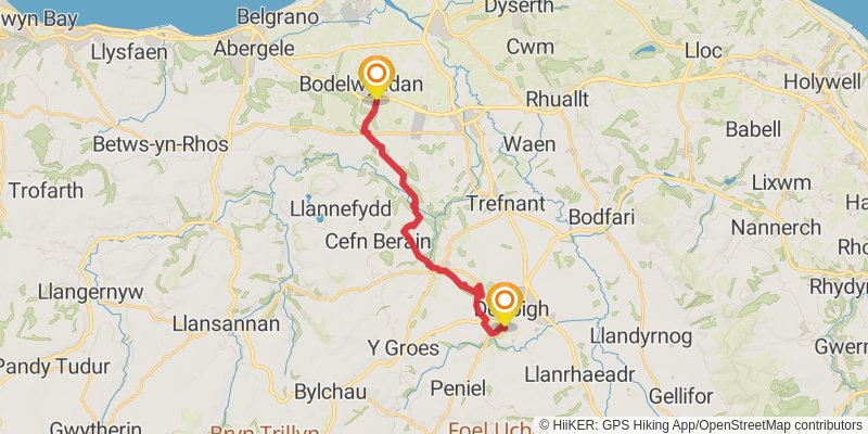
Starting at: Smithfield, Denbighshire, LL16 3LY
Ending at: Bodelwyddan, Denbighshire, LL18 5TZ
Distance: 15.5 km
Elevation gain: 279 m
Duration: 03:33:51
stage 9

Starting at: Bodelwyddan, Denbighshire, LL18 5TZ
Ending at: Rhyd-y-foel, Conwy, LL22 8HZ
Distance: 22.1 km
Elevation gain: 267 m
Duration: 04:52:06
stage 10
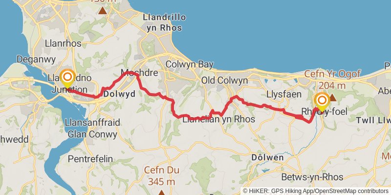
Starting at: Rhyd-y-foel, Conwy, LL22 8HZ
Ending at: Llandudno Junction, Conwy, LL31 9LX
Distance: 18.1 km
Elevation gain: 526 m
Duration: 04:29:21
stage 11
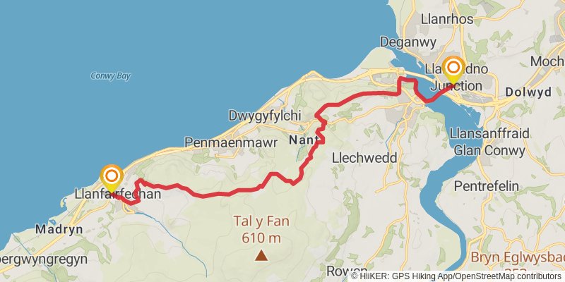
Starting at: Conwy, LL31 9LX
Ending at: Co-op, Llanfairfechan, Conwy, LL33 0NW
Distance: 16.8 km
Elevation gain: 616 m
Duration: 04:23:00
stage 12

Starting at: Conwy, LL33 0NW
Ending at: Sling, Tregarth, Gwynedd, LL57 4RE
Distance: 17.8 km
Elevation gain: 263 m
Duration: 03:59:39
stage 13
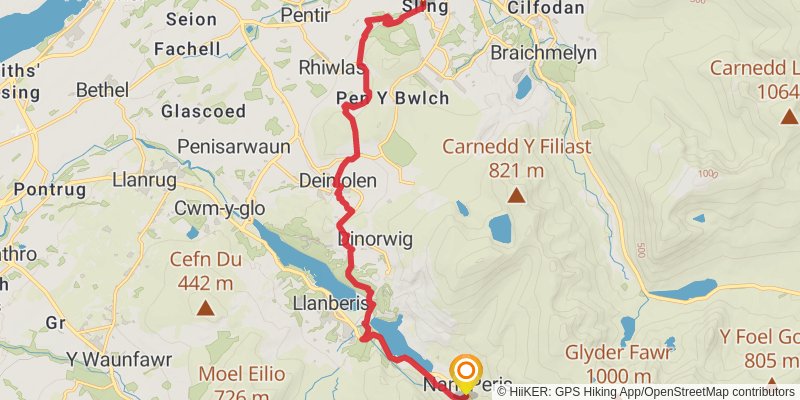
stage 14
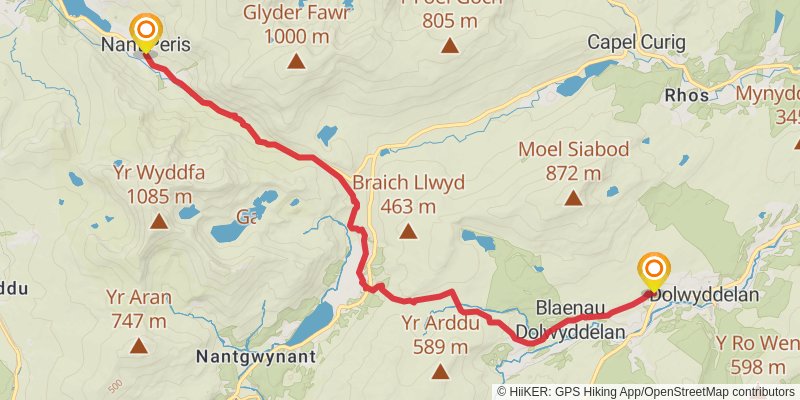
Starting at: Nant Peris, Gwynedd, LL55 4UG
Distance: 17.0 km
Elevation gain: 772 m
Duration: 04:41:08
stage 15
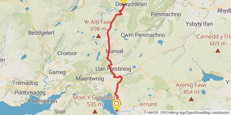
Starting at: Dolwyddelan, Conwy, LL25 0JD
Ending at: Trawsfynydd, Gwynedd, LL41 4SG
Distance: 23.7 km
Elevation gain: 735 m
Duration: 05:57:28
stage 16
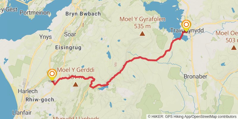
Starting at: Trawsfynydd, Gwynedd, LL41 4SG
Ending at: Hendre-ddyfrgi, Harlech, Gwynedd, LL46 2TR
Distance: 15.4 km
Elevation gain: 572 m
Duration: 04:01:32
stage 17
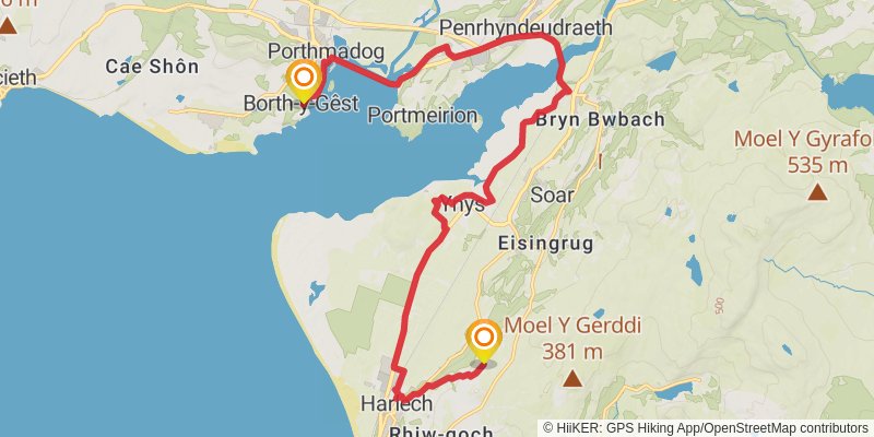
stage 18
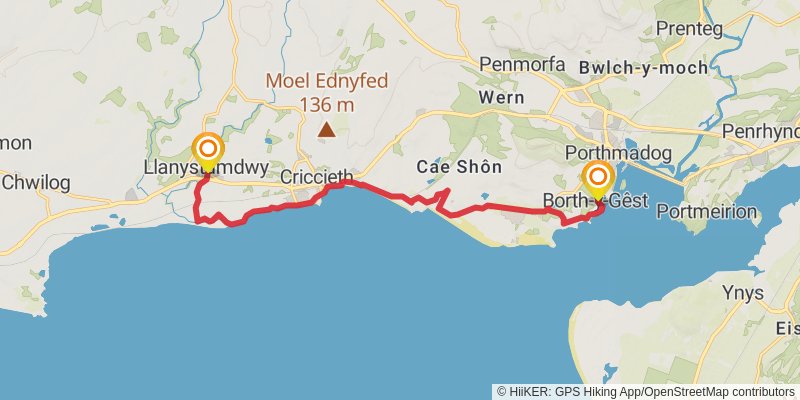
Starting at: Borth-y-Gêst, Gwynedd, LL49 9TS
Ending at: Llanystumdwy, Gwynedd, LL52 0SL
Distance: 13.0 km
Elevation gain: 167 m
Duration: 02:53:17
stage 19
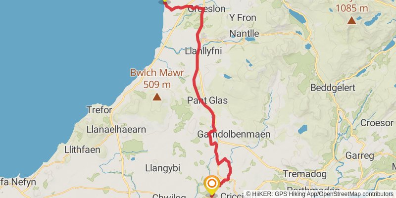
Starting at: Llanystumdwy, Gwynedd, LL52 0SL
Ending at: Llandwrog, Dinas Dinlle, Gwynedd, LL54 5TW
Distance: 26.8 km
Elevation gain: 280 m
Duration: 05:49:47
stage 20
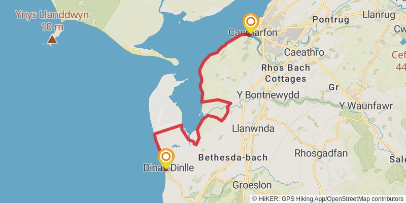
Starting at: Dinas Dinlle, Gwynedd, LL54 5TW
Ending at: Caernarfon, Gwynedd, LL55 2AY
Distance: 13.4 km
Elevation gain: 77 m
Duration: 02:48:54