Roman Way trail stages
stage 1
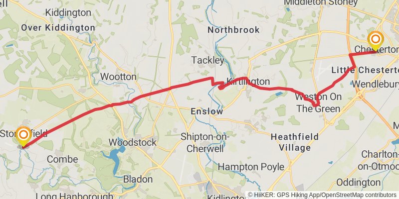
Starting at: Chesterton, Cherwell, Oxfordshire, OX26 1UR
Ending at: West Oxfordshire, Oxfordshire, OX29 8PS
Distance: 20.9 km
Elevation gain: 157 m
Duration: 04:26:39
stage 2
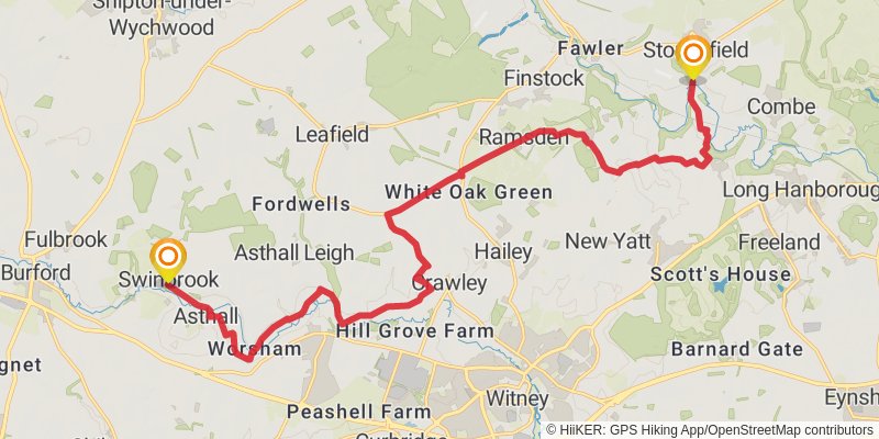
Starting at: Stonesfield, West Oxfordshire, Oxfordshire, OX29 8PL
Ending at: West Oxfordshire, Oxfordshire, OX18 4DY
Distance: 20.9 km
Elevation gain: 247 m
Duration: 04:35:45
stage 3
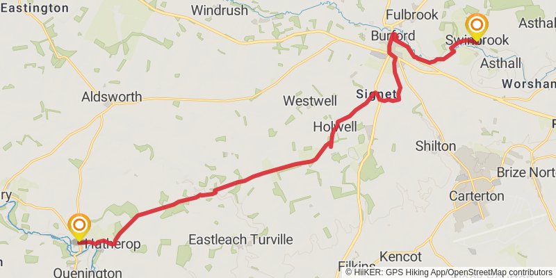
Starting at: Swinbrook, West Oxfordshire, Oxfordshire, OX18 4DY
Ending at: Cotswold, Gloucestershire, GL7 5AA
Distance: 20.0 km
Elevation gain: 206 m
Duration: 04:20:38
stage 4
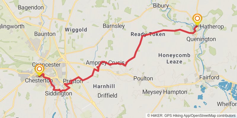
Starting at: Coln St Aldwyns, Cotswold, Gloucestershire, GL7 5AQ
Ending at: Cotswold, Gloucestershire, GL7 1XP
Distance: 19.0 km
Elevation gain: 179 m
Duration: 04:05:39
stage 5
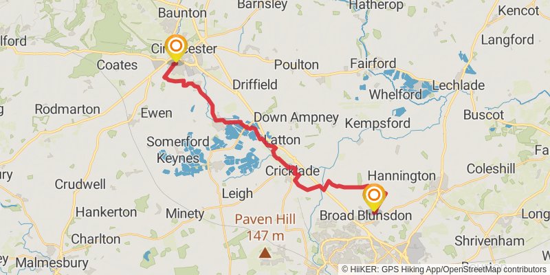
Starting at: Chesterton, Cotswold, Gloucestershire, GL7 1XP
Distance: 25.2 km
Elevation gain: 148 m
Duration: 05:17:47
stage 6
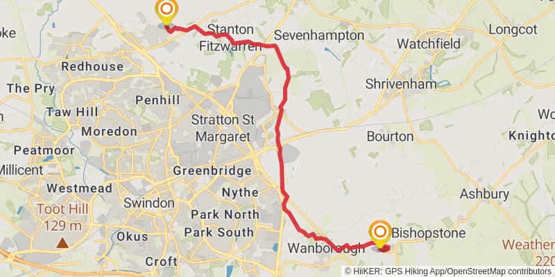
Starting at: Broad Blunsdon, Swindon, SN26 7AZ
Distance: 15.3 km
Elevation gain: 141 m
Duration: 03:17:09
stage 7
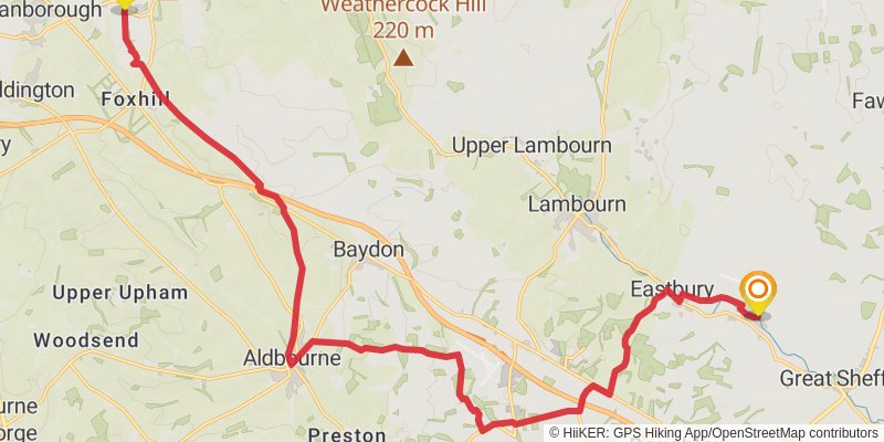
Starting at: Hinton Parva, Swindon, SN4 0DJ
Ending at: East Garston, West Berkshire, RG17 7HP
Distance: 24.0 km
Elevation gain: 440 m
Duration: 05:31:34
stage 8
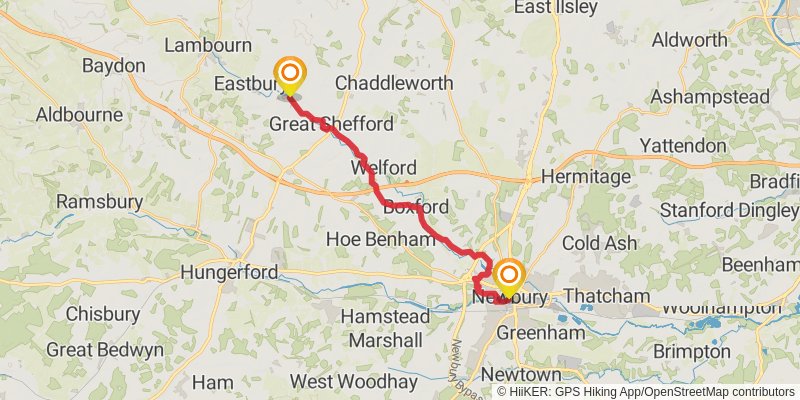
Starting at: East Garston, West Berkshire, RG17 7HP
Distance: 18.7 km
Elevation gain: 183 m
Duration: 04:02:03
stage 9
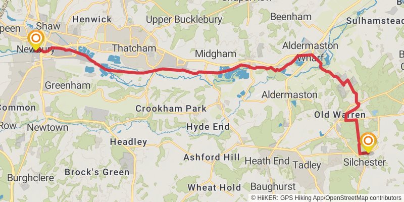
stage 10
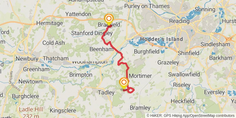
Ending at: Bradfield, West Berkshire, RG7 6EH
Distance: 20.5 km
Elevation gain: 214 m
Duration: 04:27:14
stage 11
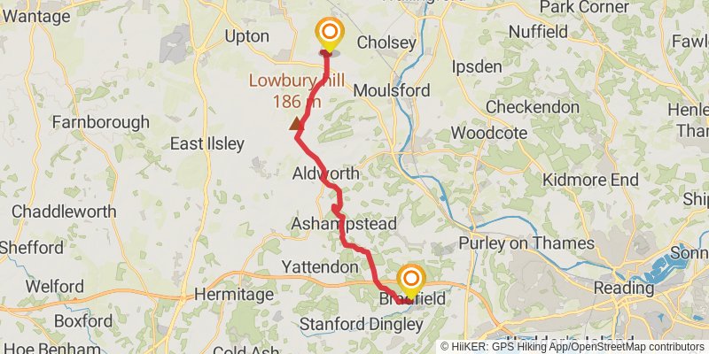
Starting at: Bradfield, West Berkshire, RG7 6BL
Distance: 19.1 km
Elevation gain: 318 m
Duration: 04:20:31
stage 12
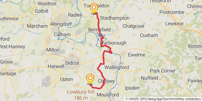
Distance: 24.2 km
Elevation gain: 165 m
Duration: 05:06:54
stage 13
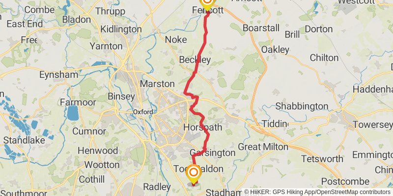
Ending at: Cherwell, Oxfordshire, OX5 2RD
Distance: 22.6 km
Elevation gain: 249 m
Duration: 04:55:56
stage 14
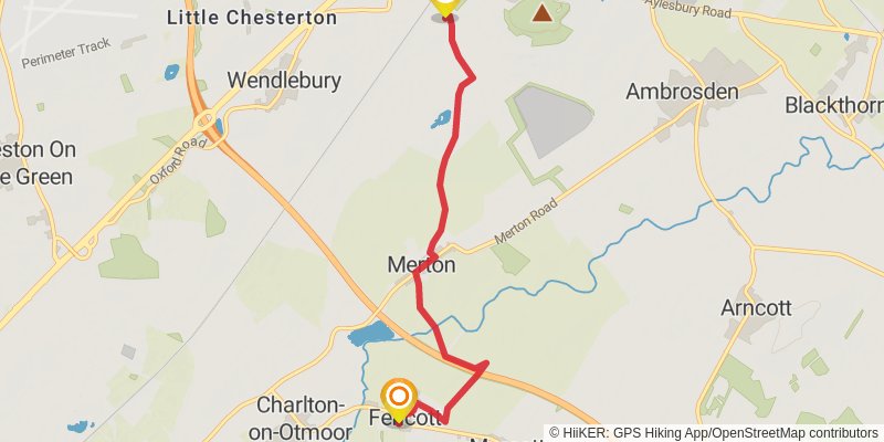
Starting at: Fencott, Cherwell, Oxfordshire, OX5 2RD
Ending at: Cherwell, Oxfordshire, OX25 2BY
Distance: 6.1 km
Elevation gain: 28 m
Duration: 01:16:15