Boston to Abbotsbury via Macmillan Way trail stages
stage 1
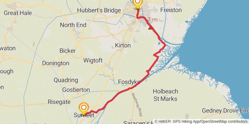
Starting at: Bargate, Lincolnshire, PE21 6NW
Ending at: South Holland, Lincolnshire, PE11 4AP
Distance: 26.8 km
Elevation gain: 91 m
Duration: 05:30:30
stage 2
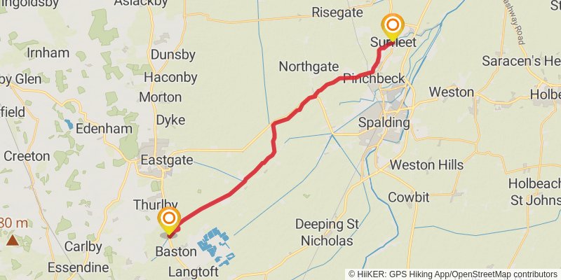
Starting at: Crossgate, South Holland, Lincolnshire, PE11 4AP
Distance: 21.8 km
Elevation gain: 65 m
Duration: 04:28:09
stage 3
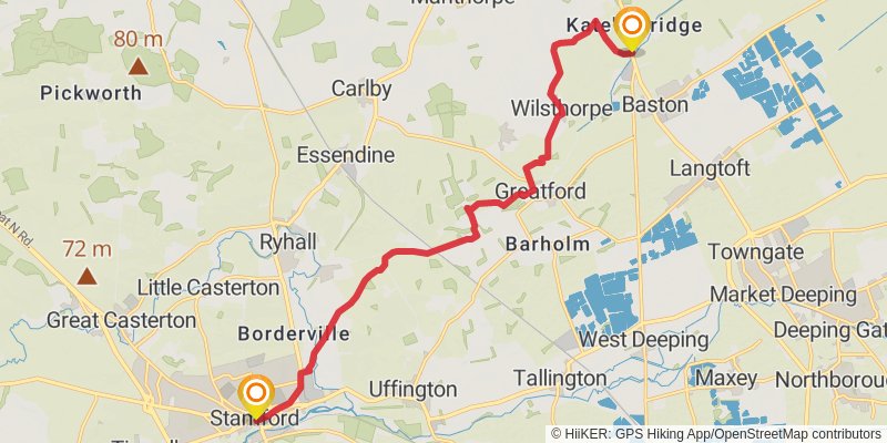
Starting at: Baston, South Kesteven, Lincolnshire, PE6 9NU
Distance: 15.0 km
Elevation gain: 118 m
Duration: 03:11:28
stage 4

Starting at: South Kesteven, Lincolnshire, PE9 2DA
Distance: 20.5 km
Elevation gain: 283 m
Duration: 04:34:11
stage 5

Starting at: Edith Weston, Rutland, LE15 8HP
Ending at: Harborough, Leicestershire, LE16 8UJ
Distance: 21.4 km
Elevation gain: 359 m
Duration: 04:53:00
stage 6
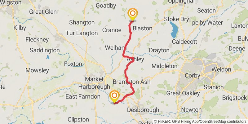
Starting at: Hallaton, Harborough, Leicestershire, LE16 8UJ
Ending at: Braybrooke, North Northamptonshire, LE16 8LN
Distance: 17.7 km
Elevation gain: 249 m
Duration: 03:57:44
stage 7
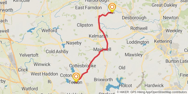
Starting at: Braybrooke, North Northamptonshire, LE16 8LN
Distance: 20.9 km
Elevation gain: 269 m
Duration: 04:37:21
stage 8
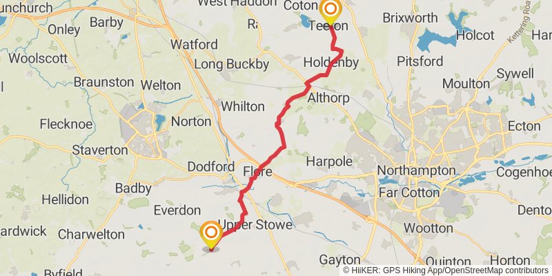
Starting at: Teeton, West Northamptonshire, NN6 8LJ
Distance: 21.5 km
Elevation gain: 315 m
Duration: 04:49:32
stage 9
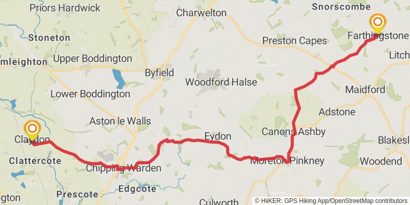
Starting at: Farthingstone, West Northamptonshire, NN12 8EZ
Ending at: Cherwell, Oxfordshire, OX17 1EP
Distance: 22.6 km
Elevation gain: 269 m
Duration: 04:57:49
stage 10

Starting at: Claydon, Cherwell, Oxfordshire, OX17 1EU
Ending at: Cherwell, Oxfordshire, OX15 6NJ
Distance: 18.2 km
Elevation gain: 342 m
Duration: 04:12:46
stage 11

Starting at: Alkerton, Cherwell, Oxfordshire, OX15 6NJ
Ending at: West Oxfordshire, Oxfordshire, GL56 0SP
Distance: 21.5 km
Elevation gain: 419 m
Duration: 04:59:49
stage 12
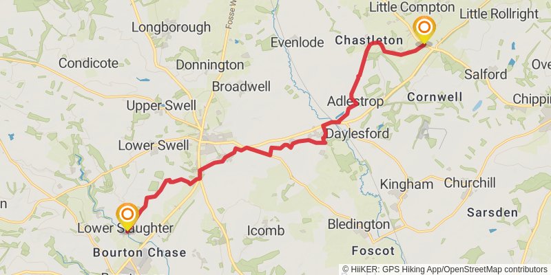
Starting at: Salford, West Oxfordshire, Oxfordshire, GL56 0SP
Distance: 15.7 km
Elevation gain: 188 m
Duration: 03:27:38
stage 13
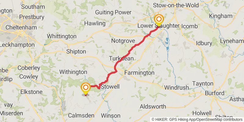
Starting at: Lower Slaughter, Cotswold, Gloucestershire, GL54 2HR
Distance: 19.4 km
Elevation gain: 458 m
Duration: 04:38:50
stage 14
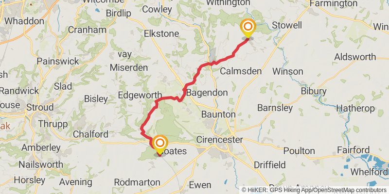
Starting at: Chedworth, Cotswold, Gloucestershire, GL54 4AE
Distance: 20.5 km
Elevation gain: 337 m
Duration: 04:39:14
stage 15
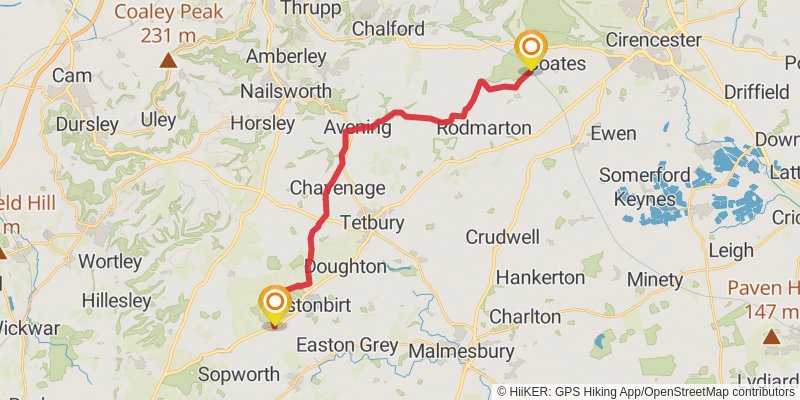
Starting at: Sapperton, Cotswold, Gloucestershire, GL7 6PW
Ending at: Cotswold, Gloucestershire, GL8 8QX
Distance: 22.7 km
Elevation gain: 257 m
Duration: 04:58:26
stage 16
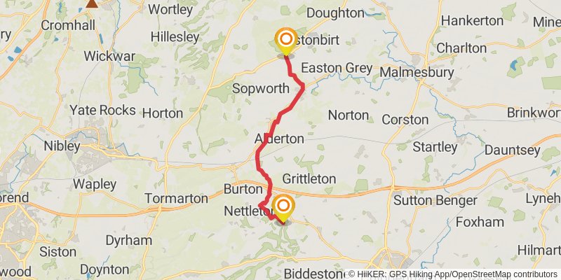
Starting at: Westonbirt, Cotswold, Gloucestershire, GL8 8QX
Distance: 15.4 km
Elevation gain: 162 m
Duration: 03:21:23
stage 17

Starting at: Upper Castle Combe, Wiltshire, SN14 7HL
Ending at: Westwood, Wiltshire, BA15 2AS
Distance: 25.9 km
Elevation gain: 449 m
Duration: 05:55:17
stage 18

Starting at: Westwood, Wiltshire, BA15 2AS
Ending at: Hapsford, Great Elm, Somerset, BA11 3NY
Distance: 16.8 km
Elevation gain: 291 m
Duration: 03:50:25
stage 19

Starting at: Great Elm, Mendip, Somerset, BA11 3NY
Ending at: Charlton Musgrove, Somerset, BA10 0LP
Distance: 23.2 km
Elevation gain: 498 m
Duration: 05:28:21
stage 20
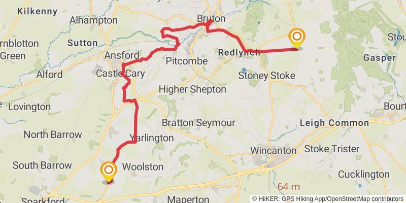
Ending at: North Cadbury, Somerset, BA22 7DU
Distance: 20.0 km
Elevation gain: 307 m
Duration: 04:30:21
stage 21
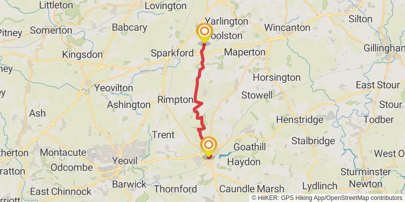
Starting at: North Cadbury, South Somerset, Somerset, BA22 7DU
Ending at: Sherborne, Dorset, DT9 3NT
Distance: 14.1 km
Elevation gain: 249 m
Duration: 03:14:30
stage 22

Starting at: Dorset, DT9 3EX
Ending at: DT2 133, Cattistock, Dorset, DT2 0JD
Distance: 24.0 km
Elevation gain: 418 m
Duration: 05:29:39
stage 23

stage 24
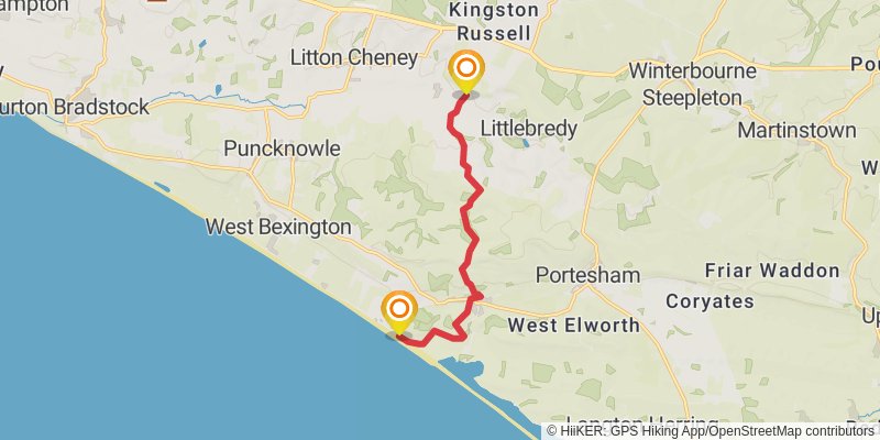
Starting at: Littlebredy, Dorset, DT2 9HN
Ending at: Dorset, DT3 4LA
Distance: 8.4 km
Elevation gain: 237 m
Duration: 02:04:54