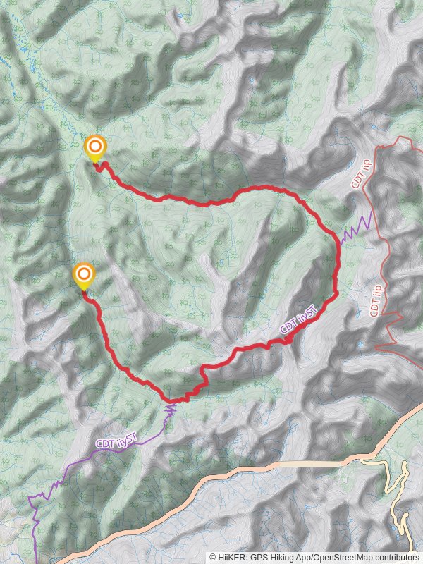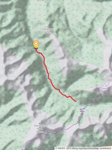
South Fork Trail
Arapaho and Roosevelt National Forests · Grand County, Colorado
34.0 km
~1 day 4 hrs
1478 m
“Explore diverse landscapes and rich history on the moderately challenging 34 km South Fork Trail in Colorado.”
Starting near Grand County, Colorado, the South Fork Trail stretches approximately 34 kilometers (21 miles) with an elevation gain of around 1400 meters (4600 feet). This point-to-point trail is rated as medium difficulty, making it suitable for moderately experienced hikers.
### Getting There To reach the trailhead, you can drive or use public transportation. If driving, head towards the nearest significant landmark, which is the town of Granby, Colorado. From Granby, take US-40 W and then turn onto County Road 84. Follow this road until you reach the trailhead. For those using public transport, the closest major transit hub is Granby Station, which is accessible via Amtrak's California Zephyr line. From Granby Station, you may need to arrange a taxi or rideshare to the trailhead.
### Trail Overview The South Fork Trail offers a diverse range of landscapes, from dense forests to open meadows and alpine terrain. The trail begins with a gentle ascent through a lush forest of pine and aspen trees. After about 5 kilometers (3 miles), you will encounter the first significant elevation gain, climbing approximately 300 meters (1000 feet) over the next 4 kilometers (2.5 miles).
### Key Landmarks and Sections #### Forested Ascent As you ascend, keep an eye out for local wildlife such as deer, elk, and various bird species. The forested section provides ample shade, making it a pleasant hike even during warmer months.
#### Open Meadows Around the 10-kilometer (6-mile) mark, the trail opens up into expansive meadows. These meadows are particularly stunning in late spring and early summer when wildflowers are in full bloom. This section is relatively flat, offering a brief respite from the earlier climb.
#### Alpine Terrain The trail then transitions into more rugged alpine terrain. At approximately 20 kilometers (12 miles), you will reach the highest point of the trail, which sits at an elevation of around 3200 meters (10,500 feet). The views from this vantage point are breathtaking, offering panoramic vistas of the surrounding mountain ranges.
### Historical Significance The region around the South Fork Trail has a rich history. It was originally inhabited by the Ute tribes, who used these trails for hunting and trading. In the late 19th century, the area saw an influx of settlers during the Colorado Gold Rush. Remnants of old mining operations can still be found along the trail, particularly around the 25-kilometer (15.5-mile) mark.
### Navigation and Safety Given the trail's length and elevation gain, it's crucial to be well-prepared. Make sure to bring sufficient water, snacks, and layers of clothing to adapt to changing weather conditions. Navigation tools are essential; consider using HiiKER for accurate trail maps and real-time updates. Cell service can be spotty, so downloading offline maps is advisable.
### Wildlife and Flora The South Fork Trail is home to a variety of wildlife, including black bears, mountain lions, and smaller mammals like marmots and pikas. Always practice Leave No Trace principles and store food securely to avoid attracting wildlife. The flora varies significantly with elevation, ranging from dense pine forests at lower elevations to alpine tundra at higher altitudes.
### Final Stretch The final section of the trail descends gradually through a series of switchbacks, leading you back into a forested area. The trail ends near the confluence of the South Fork and the main stem of the Colorado River, a serene spot perfect for a well-deserved rest.
By understanding the terrain, landmarks, and historical context, hikers can better prepare for the South Fork Trail, ensuring a safe and enjoyable experience.
Reviews
User comments, reviews and discussions about the South Fork Trail, Colorado.
4.0
average rating out of 5
7 rating(s)


