3.7 km
~1 hrs 0 min
155 m
“Embark on a scenic 4 km hike through lush forests, historic sites, and panoramic vistas in Douglas County.”
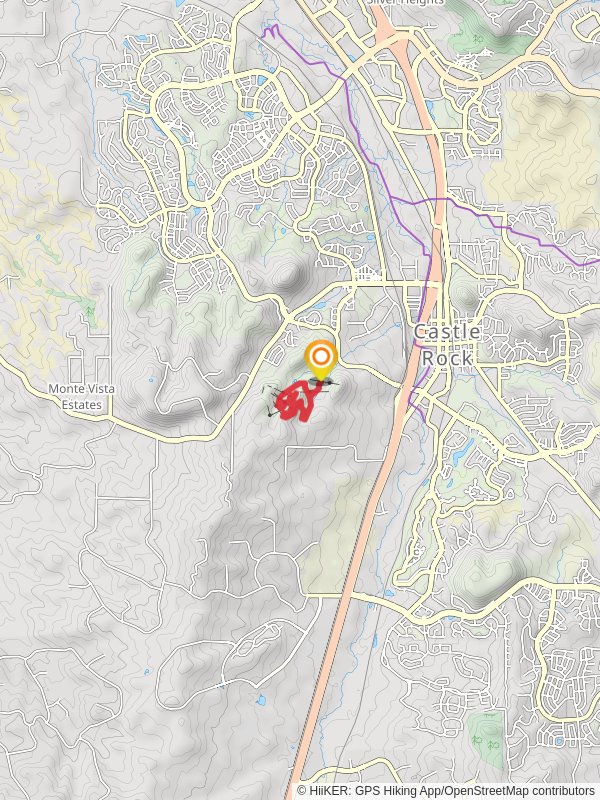
Starting your adventure near Douglas County, Colorado, the Red Loop and Access Trail offers a delightful 4 km (2.5 miles) journey with an elevation gain of approximately 100 meters (328 feet). This loop trail is rated medium in difficulty, making it suitable for moderately experienced hikers looking for a rewarding trek.
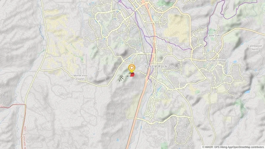
### Getting There To reach the trailhead, you can drive or use public transport. If driving, head towards the nearest significant landmark, Castle Rock, Colorado. From Castle Rock, take the I-25 South and exit at Founders Parkway. Follow Founders Parkway to Highway 86 East, then turn onto Ridge Road. Continue until you reach the trailhead parking area near the Dawson Butte Open Space. For those using public transport, the nearest bus stop is in Castle Rock, from where you can take a taxi or rideshare service to the trailhead.
### Trail Navigation For navigation, it's highly recommended to use HiiKER, which provides detailed maps and real-time updates. The trail is well-marked, but having a reliable navigation tool ensures you stay on track.
### Trail Highlights The trail begins with a gentle ascent through a mixed forest of ponderosa pines and Douglas firs. After about 0.5 km (0.3 miles), you'll reach a small clearing that offers your first panoramic view of the surrounding landscape, including the distant Rocky Mountains.
### Wildlife and Flora As you continue, keep an eye out for local wildlife. Deer are commonly seen in this area, and if you're lucky, you might spot a red fox or even a bobcat. Birdwatchers will enjoy the variety of species, including hawks and woodpeckers. The trail is also rich in wildflowers during the spring and summer months, with species like columbine and Indian paintbrush adding splashes of color.
### Historical Significance Around the 2 km (1.2 miles) mark, you'll come across an old homestead site. This area was once inhabited by early settlers in the late 1800s. The remnants of their cabins and farming equipment provide a glimpse into the region's history. Take a moment to appreciate the resilience and resourcefulness of these early pioneers.
### Scenic Overlook At approximately 3 km (1.9 miles), the trail reaches its highest point, offering a stunning overlook. Here, you can see the rolling hills of Douglas County and the expansive plains to the east. This is a perfect spot for a rest and some photos.
### Completing the Loop The final stretch of the trail descends gradually back into the forest, completing the loop. The last kilometer (0.6 miles) is relatively easy, allowing you to cool down as you make your way back to the trailhead.
### Practical Tips - Water and Snacks: Bring enough water and some high-energy snacks. There are no water sources along the trail. - Footwear: Sturdy hiking boots are recommended due to the uneven terrain. - Weather: Check the weather forecast before you go. The trail can be slippery after rain, and thunderstorms are common in the summer afternoons. - Leave No Trace: Pack out all your trash and respect the natural environment.
This trail offers a perfect blend of natural beauty, wildlife, and a touch of history, making it a must-visit for any hiking enthusiast in the Douglas County area.
Reviews
User comments, reviews and discussions about the Red Loop and Access Trail, Colorado.
5.0
average rating out of 5
14 rating(s)

