4.1 km
~1 hrs 3 min
136 m
“Explore the Green and Red Loop Trail for a scenic 4 km hike with moderate challenges and rich history.”
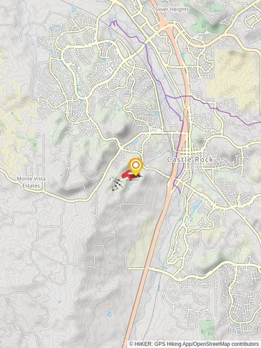
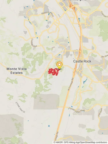
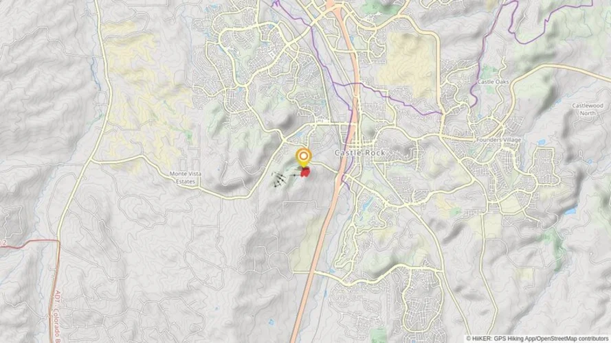
Starting your adventure near Douglas County, Colorado, the Green and Red Loop Trail offers a delightful 4 km (2.5 miles) journey with an elevation gain of approximately 100 meters (328 feet). This loop trail is rated as medium difficulty, making it suitable for moderately experienced hikers.
### Getting There To reach the trailhead, you can drive or use public transport. If driving, head towards the nearest significant landmark, the Castle Rock Outlets. From there, it's a short drive to the trailhead. For those using public transport, the nearest bus stop is at the Castle Rock Outlets, from where you can either take a short taxi ride or enjoy a brief walk to the trailhead.
### Trail Navigation For navigation, it's highly recommended to use the HiiKER app, which provides detailed maps and real-time updates to ensure you stay on the right path.
### Trail Highlights As you embark on the Green and Red Loop Trail, you'll first encounter a gentle ascent, gaining about 50 meters (164 feet) in the first 1 km (0.6 miles). This section is adorned with a variety of wildflowers in the spring and summer months, making it a picturesque start to your hike.
### Flora and Fauna The trail is rich in biodiversity. Keep an eye out for mule deer and a variety of bird species, including red-tailed hawks and western bluebirds. The flora is equally impressive, with ponderosa pines and Gambel oaks providing ample shade along the route.
### Historical Significance Douglas County has a rich history dating back to the Native American tribes who originally inhabited the area. The trail itself passes near some historical landmarks, including remnants of old homesteads from the 19th century. These sites offer a glimpse into the lives of early settlers and are marked with informational plaques.
### Midpoint and Scenic Views At approximately the 2 km (1.2 miles) mark, you'll reach the highest point of the trail, offering panoramic views of the surrounding landscape. This is an excellent spot for a short break and some photography. The elevation gain here is around 100 meters (328 feet), providing a moderate challenge but rewarding you with stunning vistas.
### Descending and Completing the Loop The descent begins gradually, with the trail winding through a dense forested area. This section is particularly beautiful in the fall when the leaves change color. As you approach the final 1 km (0.6 miles), the trail flattens out, making for an easy and relaxing end to your hike.
### Safety and Preparation Given the moderate difficulty of the trail, it's advisable to wear sturdy hiking boots and bring plenty of water, especially during the warmer months. Weather can change rapidly, so carrying a light rain jacket is also a good idea. Always check the weather forecast before heading out and let someone know your plans.
### Final Stretch The last stretch of the trail brings you back to the starting point, completing the loop. This section is relatively flat and easy, allowing you to cool down and reflect on the natural beauty and historical richness you've just experienced.
Using HiiKER for navigation will ensure you have a safe and enjoyable hike, with all the necessary information at your fingertips.
Reviews
User comments, reviews and discussions about the Green and Red Loop Trail, Colorado.
4.0
average rating out of 5
13 rating(s)


