South Fork Cottonwood Creek via Cold Fork Ridge Trail trail stages
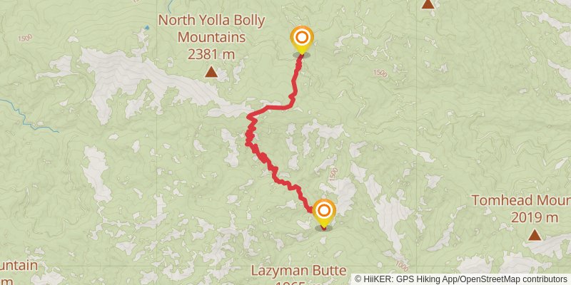
stage 1

Starting at: Tehama County
Ending at: Tehama County
Distance: 15.9 km
Elevation gain: 808 m
Duration: 04:31:17
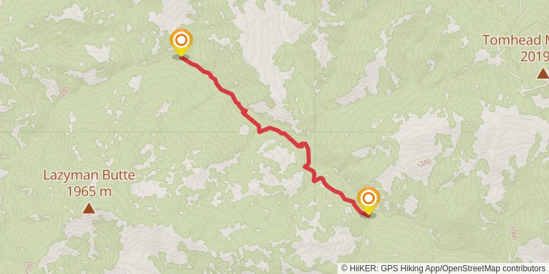
stage 4

Starting at: Tehama County
Ending at: Tehama County
Distance: 30.1 km
Elevation gain: 2503 m
Duration: 10:11:51
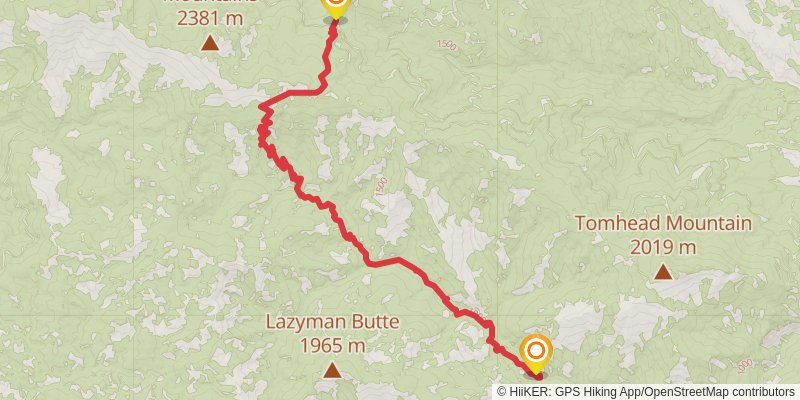
stage 2

Starting at: Tehama County
Ending at: Tehama County
Distance: 6.4 km
Elevation gain: 348 m
Duration: 01:51:39
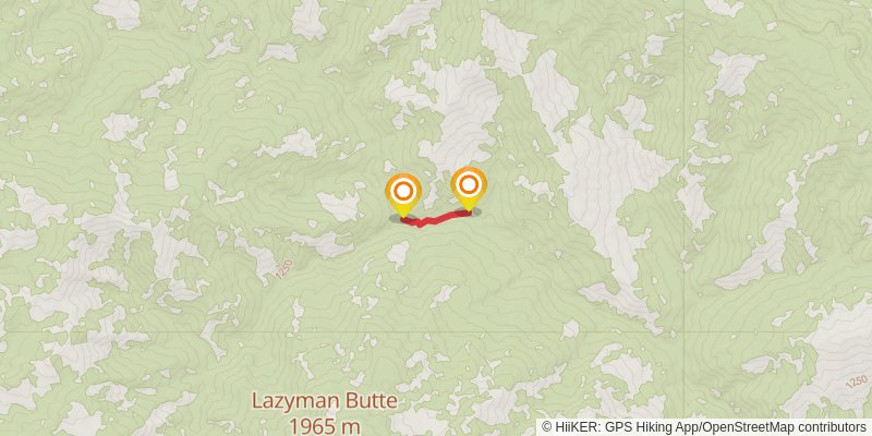
stage 3

Starting at: Tehama County
Ending at: Tehama County
Distance: 0 m
Elevation gain: 0 m
Duration: 00:00:00