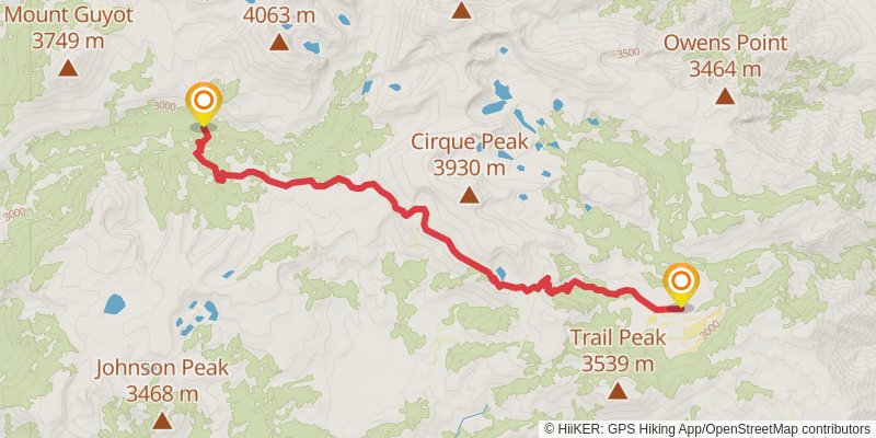
Horseshoe Meadow to Whitney Portal trail stages
stage 1

Starting at: Cottonwood Pass & Trail Pass Trailheads, Inyo County
Ending at: Tulare County
Distance: 20.1 km
Elevation gain: 644 m
Duration: 05:05:56
alt 1

Starting at: Tulare County
Ending at: Tulare County
Distance: 20.1 km
Elevation gain: 894 m
Duration: 05:30:44
stage 2

Starting at: Rock Creek, Tulare County
Ending at: Tulare County
Distance: 13.2 km
Elevation gain: 714 m
Duration: 03:49:56
stage 3

Starting at: Crabtree Ranger Station, Tulare County
Ending at: Tulare County
Distance: 8.3 km
Elevation gain: 896 m
Duration: 03:08:47
stage 4

Starting at: Tulare County
Ending at: Whitney Portal Trailhead, Inyo County
Distance: 13.4 km
Elevation gain: 327 m
Duration: 03:14:02
alt 2

Starting at: Tulare County
Ending at: Inyo County
Distance: 8.7 km
Elevation gain: 413 m
Duration: 02:25:14