Cordillera Real Traverse trail stages
stage 1
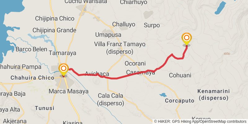
Starting at: Zona Masaya, Provincia Omasuyos
Distance: 18.7 km
Elevation gain: 610 m
Duration: 04:45:51
stage 2
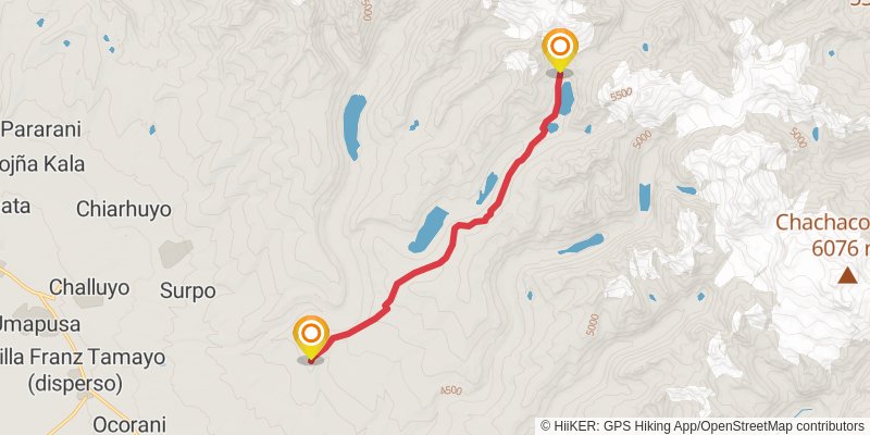
Starting at: Cohuani, Provincia Omasuyos
Ending at: Municipio Sorata, Provincia Larecaja
Distance: 14.2 km
Elevation gain: 682 m
Duration: 03:59:12
stage 3
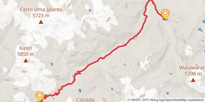
Starting at: Municipio Sorata, Provincia Larecaja
Distance: 17.0 km
Elevation gain: 587 m
Duration: 04:22:11
stage 4
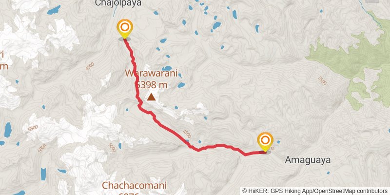
Starting at: Chajolpaya, Provincia Larecaja
Ending at: Municipio Guanay, Provincia Larecaja
Distance: 17.9 km
Elevation gain: 873 m
Duration: 05:01:53
alt 1
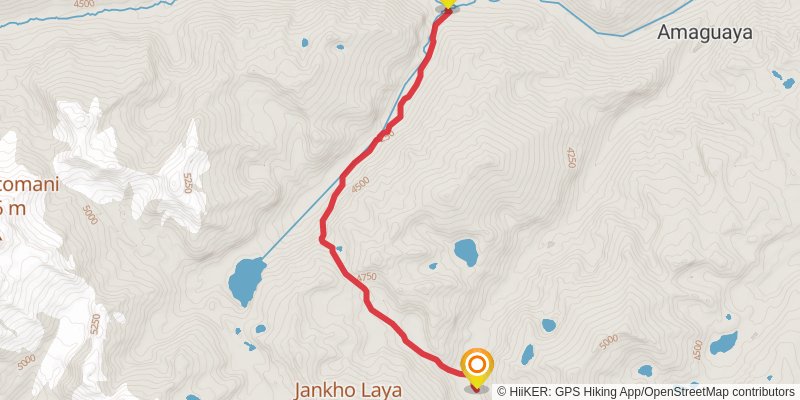
Starting at: Municipio Guanay, Provincia Larecaja
Ending at: Municipio Guanay, Provincia Larecaja
Distance: 9.3 km
Elevation gain: 849 m
Duration: 03:16:52
stage 5
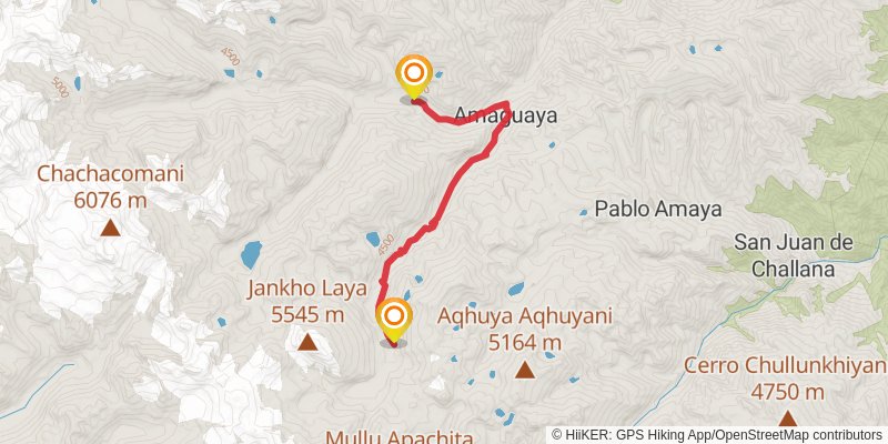
Starting at: Municipio Guanay, Provincia Larecaja
Ending at: Municipio Guanay, Provincia Larecaja
Distance: 14.3 km
Elevation gain: 981 m
Duration: 04:29:57
stage 6
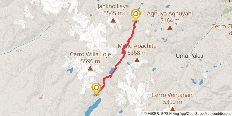
Starting at: Amaguaya, Provincia Larecaja
Ending at: Batallas, Provincia Los Andes
Distance: 15.4 km
Elevation gain: 857 m
Duration: 04:30:54
stage 7
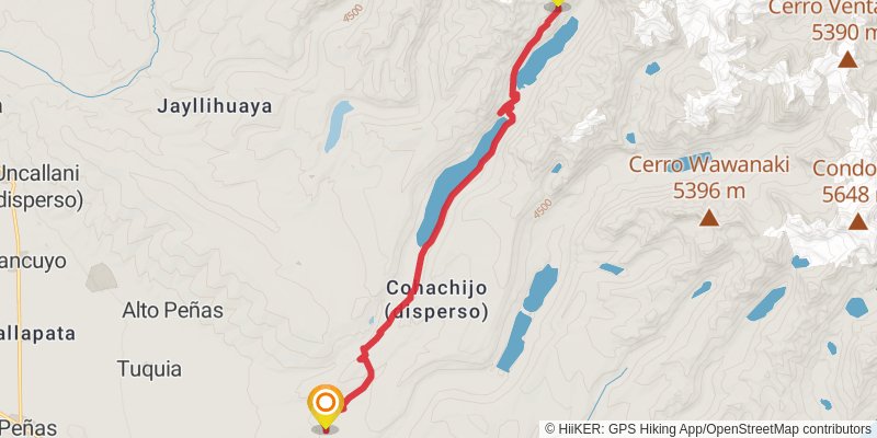
Starting at: Batallas, Provincia Los Andes
Ending at: Batallas, Provincia Los Andes
Distance: 19.5 km
Elevation gain: 351 m
Duration: 04:29:28
spur 1
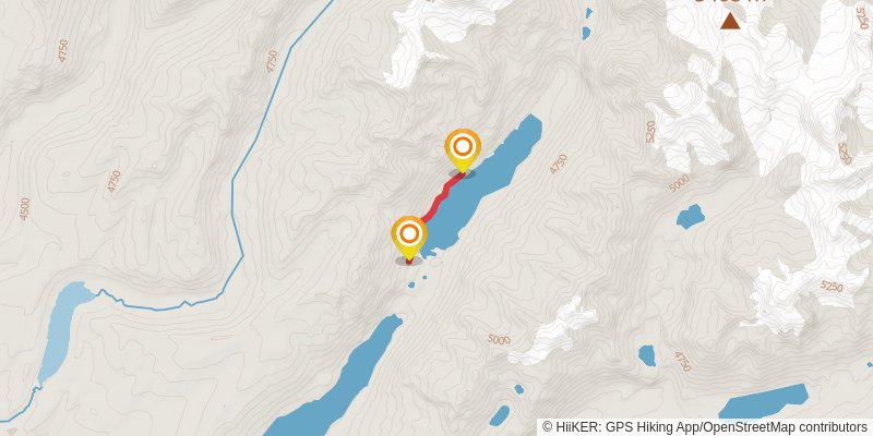
Starting at: Cohachijo (disperso), Batallas, Provincia Los Andes
Ending at: Batallas, Provincia Los Andes
Distance: 1.8 km
Elevation gain: 65 m
Duration: 00:28:12
stage 8
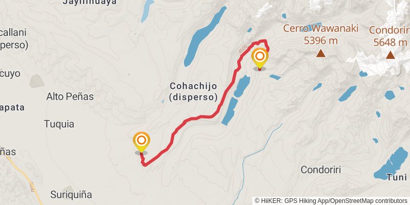
Starting at: Batallas, Provincia Los Andes
Ending at: Batallas, Provincia Los Andes
Distance: 17.3 km
Elevation gain: 615 m
Duration: 04:29:38
stage 9
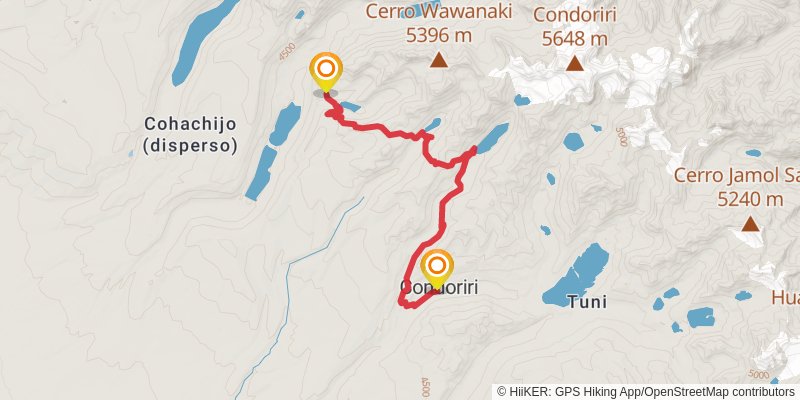
Starting at: Batallas, Provincia Los Andes
Ending at: Condoriri, Provincia Los Andes
Distance: 18.7 km
Elevation gain: 800 m
Duration: 05:04:24
alt 2
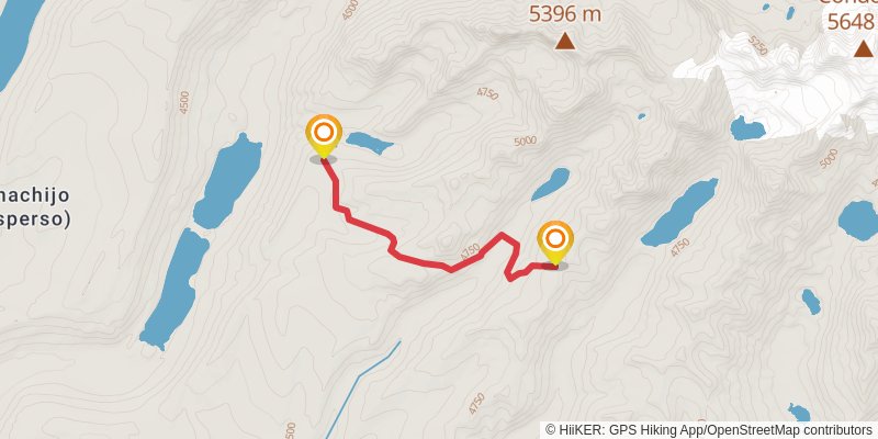
Starting at: Batallas, Provincia Los Andes
Ending at: Batallas, Provincia Los Andes
Distance: 6.1 km
Elevation gain: 434 m
Duration: 01:56:02
alt 3
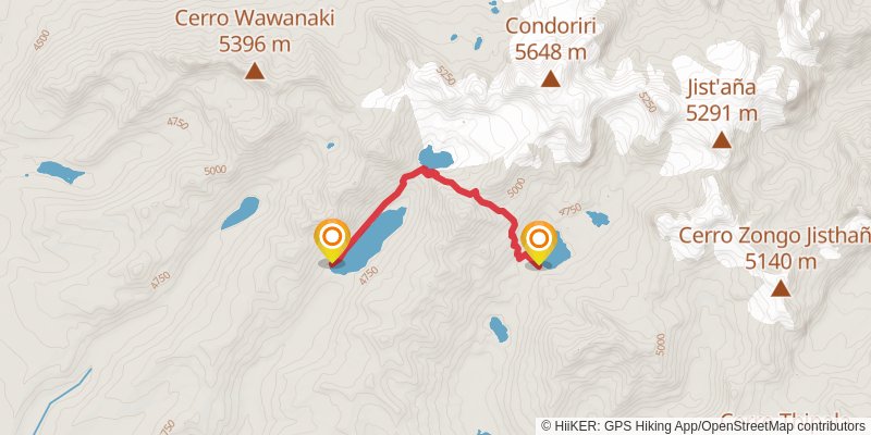
Starting at: Refugio, Batallas, Provincia Los Andes
Ending at: Refuge, Batallas, Provincia Los Andes
Distance: 5.7 km
Elevation gain: 475 m
Duration: 01:55:19
alt 4
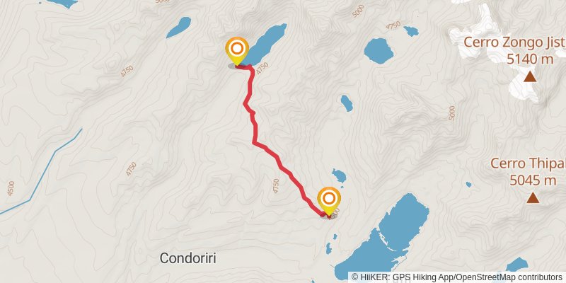
Starting at: Refugio, Batallas, Provincia Los Andes
Ending at: Condoriri, Provincia Los Andes
Distance: 5.6 km
Elevation gain: 208 m
Duration: 01:27:23
stage 10
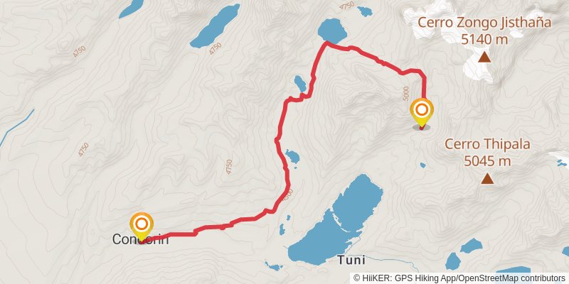
Starting at: Batallas, Provincia Los Andes
Ending at: Batallas, Provincia Los Andes
Distance: 13.5 km
Elevation gain: 741 m
Duration: 03:56:33
alt 5
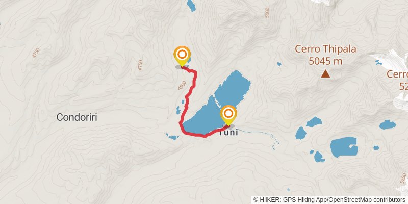
Starting at: Condoriri, Provincia Los Andes
Ending at: Tuni, Pucarani, Provincia Los Andes
Distance: 4.7 km
Elevation gain: 98 m
Duration: 01:06:00
alt 6
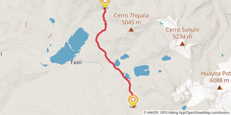
Starting at: Batallas, Provincia Los Andes
Ending at: Tuni, Pucarani, Provincia Los Andes
Distance: 7.8 km
Elevation gain: 348 m
Duration: 02:08:20
stage 11
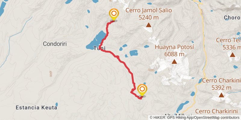
Starting at: Batallas, Provincia Los Andes
Ending at: Pucarani, Provincia Los Andes
Distance: 15.7 km
Elevation gain: 692 m
Duration: 04:17:40
stage 12
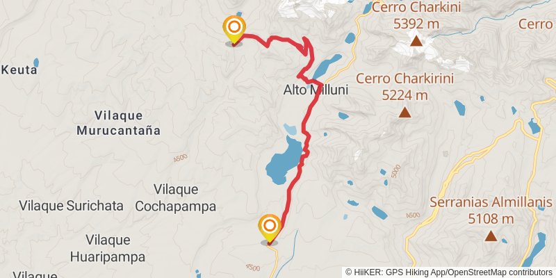
Starting at: Pucarani, Provincia Los Andes
Ending at: El Alto, Pedro Domingo Murillo
Distance: 19.9 km
Elevation gain: 430 m
Duration: 04:42:19
stage 13
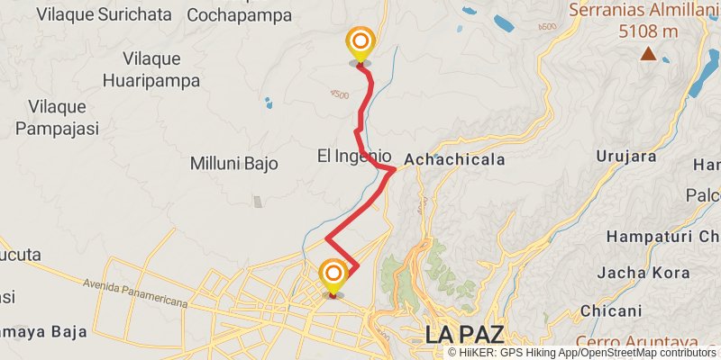
Starting at: El Alto, Pedro Domingo Murillo
Distance: 13.2 km
Elevation gain: 40 m
Duration: 02:41:54