Download
Preview
Add to list
More
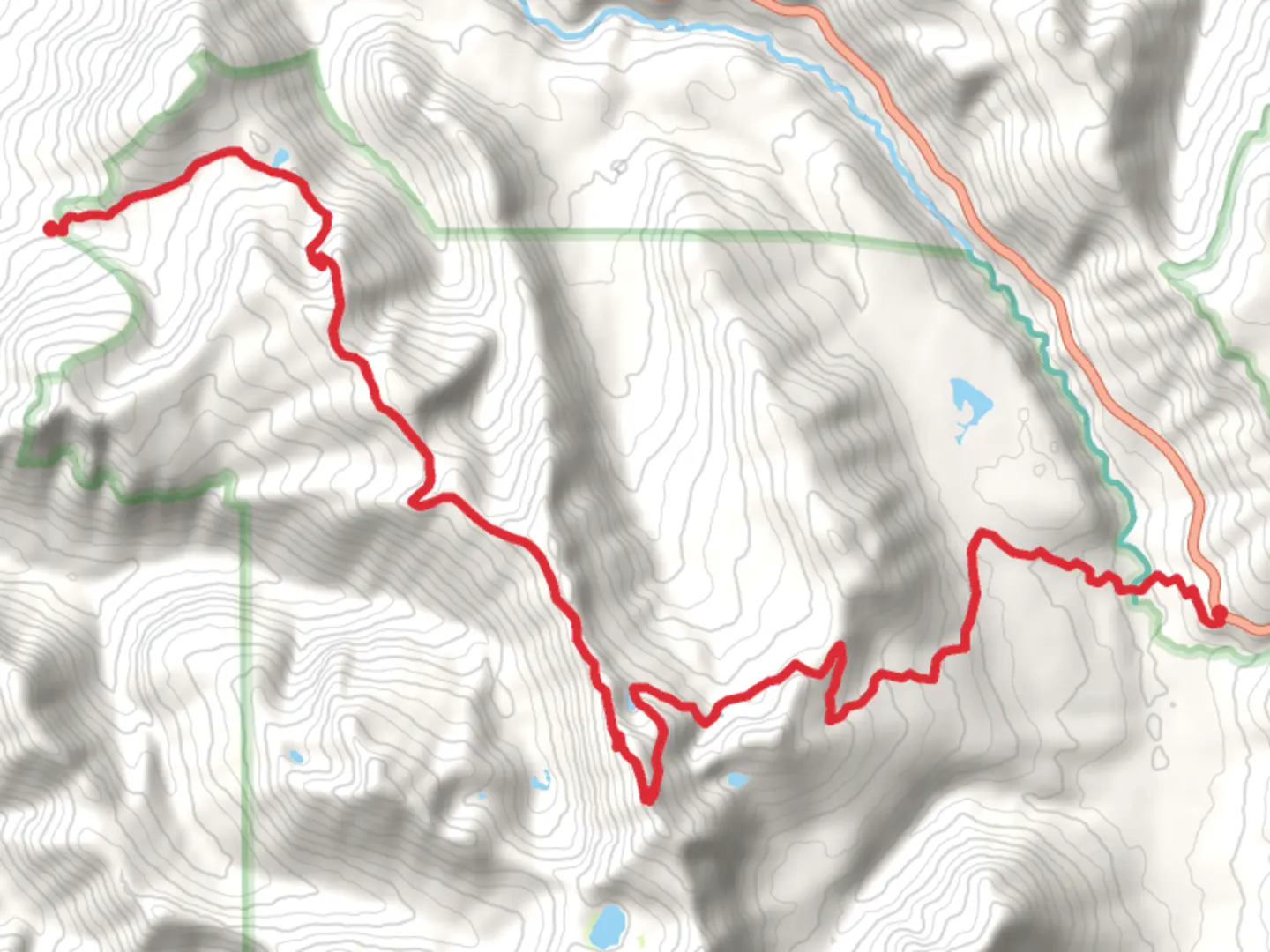
Trail length
20.7 km
Time
~1 day 1 hrs
Elevation Gain
1671 m
Hike Type
Point-to-Point
“"Embark on the scenic 21 km Coal Creek Mountain and Clear Lost Trail, rich in wildlife and history."”
Starting near Lewis County, Washington, the Coal Creek Mountain and Clear Lost Trail stretches approximately 21 kilometers (13 miles) with an elevation gain of around 1600 meters (5,250 feet). This point-to-point trail is estimated to be of medium difficulty, making it suitable for moderately experienced hikers.
Getting There To reach the trailhead, you can drive or use public transport. If driving, head towards the nearest significant landmark, which is the town of Packwood, Washington. From Packwood, take US-12 W and follow signs towards the trailhead. For those using public transport, the nearest bus stop is in Packwood, from where you can arrange a local taxi or rideshare to the trailhead.
Trail Overview The trail begins with a gradual ascent through dense forest, offering a mix of Douglas fir, western hemlock, and cedar trees. The first 5 kilometers (3 miles) involve a steady climb, gaining approximately 300 meters (1,000 feet) in elevation. This section is well-marked and relatively easy to navigate.
Significant Landmarks and Nature Around the 6-kilometer (3.7-mile) mark, you'll encounter Coal Creek, a picturesque spot perfect for a short break. The creek is known for its clear waters and the occasional sighting of trout. Continuing on, the trail becomes steeper, gaining another 400 meters (1,300 feet) over the next 4 kilometers (2.5 miles). This section offers stunning views of the surrounding valleys and distant peaks.
Wildlife and Flora As you ascend, keep an eye out for local wildlife. Black bears, deer, and various bird species are commonly spotted. The higher elevations are home to alpine meadows filled with wildflowers during the summer months, including lupines, Indian paintbrush, and avalanche lilies.
Historical Significance The region has a rich history, with remnants of old logging camps visible along the trail. These camps date back to the early 20th century when the area was heavily logged. Informational plaques provide insights into the logging history and the efforts to restore the forest.
Navigation and Safety The trail is well-marked, but it's advisable to use HiiKER for real-time navigation and updates. The app provides detailed maps and can alert you to any trail changes or closures. The final 6 kilometers (3.7 miles) involve a descent into a lush valley, where the trail becomes less steep but can be muddy, especially after rain.
Final Stretch The last section of the trail takes you through a series of switchbacks, descending approximately 500 meters (1,640 feet) over 5 kilometers (3 miles). This part of the trail offers panoramic views of Clear Lost Lake, a serene spot perfect for a final rest before completing your hike.
Ending Point The trail concludes near the Clear Lost Lake Campground, where you can arrange for a pickup or continue exploring the nearby trails and natural beauty of the area.

What to expect?
dog-friendly
forest
lakes
scenic-views
wildflowers
wildlife
Activity types
backpacking
birding
hiking
horseback-riding
Comments and Reviews
User comments, reviews and discussions about the Coal Creek Mountain and Clear Lost Trail, Washington.
4.67
average rating out of 5
6 rating(s)