Download
Preview
Add to list
More
19.3 km
~4 hrs 55 min
643 m
Out and Back
“The South Boundary Trail near Taos County offers a scenic, moderately challenging 19 km hike through diverse landscapes.”
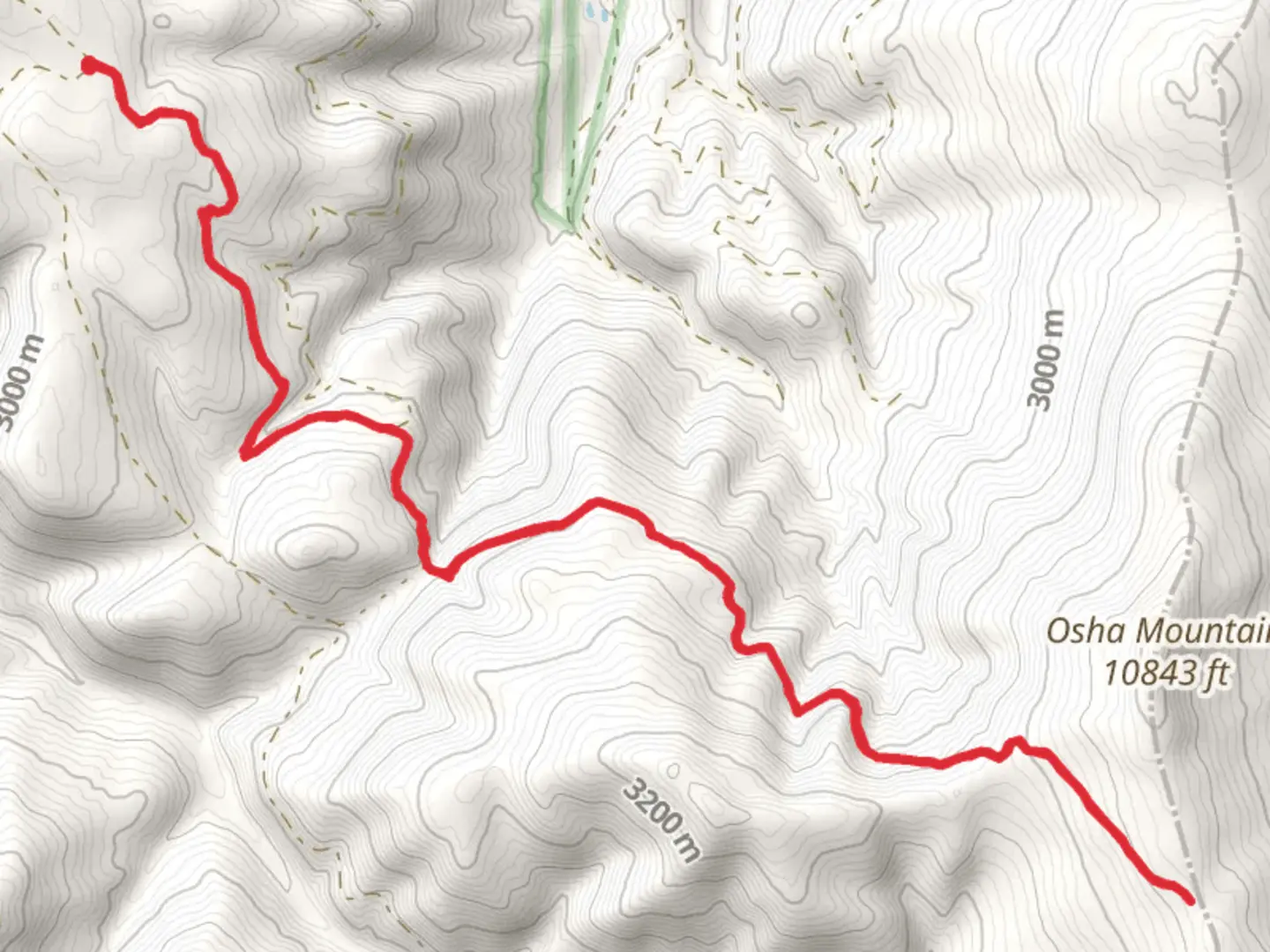
The South Boundary Trail, stretching approximately 19 km (around 12 miles) with an elevation gain of about 600 meters (approximately 1,970 feet), begins near Taos County, New Mexico. This out-and-back trail is rated as medium difficulty, making it suitable for moderately experienced hikers.
Getting There To reach the trailhead, you can drive or use public transportation. If driving, head towards Taos County, New Mexico. The nearest significant landmark to the trailhead is the Taos Ski Valley. For those using public transport, buses run from Taos to the Taos Ski Valley, where you can then take a short taxi ride to the trailhead.
Trail Overview The South Boundary Trail offers a diverse hiking experience, weaving through lush forests, open meadows, and rugged mountain terrain. The trail is well-marked, but it's advisable to use the HiiKER app for navigation to ensure you stay on track.
Key Landmarks and Sections
#### Forested Start The trail begins in a dense forest, providing ample shade and a cool start to your hike. The first 3 km (1.9 miles) are relatively gentle, with a gradual ascent of about 100 meters (328 feet). Keep an eye out for local wildlife such as deer and various bird species.
#### Open Meadows Around the 5 km (3.1 miles) mark, the trail opens up into expansive meadows. This section is particularly scenic, offering panoramic views of the surrounding mountains. The elevation gain here is more noticeable, with an additional 200 meters (656 feet) climb over the next 4 km (2.5 miles).
#### Rocky Terrain As you approach the halfway point, the trail becomes rockier and more challenging. This section, spanning from approximately 9 km to 12 km (5.6 miles to 7.5 miles), includes a steep ascent of about 300 meters (984 feet). Trekking poles can be particularly useful here for stability.
Historical Significance The region around the South Boundary Trail is rich in history. The trail itself was used by Native American tribes for centuries as a trade route. Additionally, the nearby Taos Pueblo, a UNESCO World Heritage Site, offers a glimpse into the area's indigenous culture and history.
Flora and Fauna The trail is home to a variety of plant and animal life. In the lower elevations, you'll find ponderosa pines and aspens, while higher up, the vegetation transitions to alpine flora. Wildlife sightings may include black bears, elk, and a variety of bird species, so carrying bear spray and making noise while hiking is advisable.
Final Stretch The final stretch of the trail offers a mix of forested and open areas, with a gradual descent back to the trailhead. This section is less strenuous, allowing you to enjoy the natural beauty and reflect on the hike.
Preparation Tips - **Water:** Carry at least 2-3 liters of water, as there are limited water sources along the trail. - **Clothing:** Dress in layers, as temperatures can vary significantly with elevation changes. - **Footwear:** Sturdy hiking boots are recommended due to the rocky sections. - **Navigation:** Use the HiiKER app to stay on course and track your progress.
This trail offers a rewarding experience with its diverse landscapes, historical significance, and abundant wildlife. Proper preparation and awareness of the trail's challenges will ensure a safe and enjoyable hike.

What to expect?
Activity types
Comments and Reviews
User comments, reviews and discussions about the South Boundary Trail, New Mexico.
4.73
average rating out of 5
30 rating(s)