Download
Preview
Add to list
More
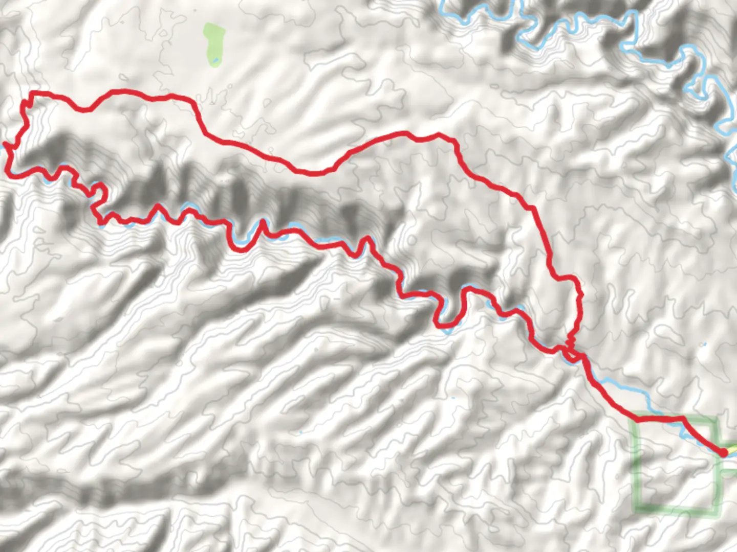
41.2 km
~1 day 4 hrs
701 m
Loop
“Explore breathtaking landscapes and ancient history on New Mexico's adventurous West Fork Gila River Loop.”
Nestled in the rugged terrain of Catron County, New Mexico, the West Fork Gila River and Hells Hole Loop Trail offers a captivating journey through diverse landscapes and rich history. This 41 km (approximately 25.5 miles) loop trail presents a moderate challenge with an elevation gain of around 700 meters (about 2,300 feet), making it an ideal adventure for those seeking a blend of natural beauty and historical intrigue.
Getting There
To reach the trailhead, travelers can drive to the vicinity of Catron County. The nearest significant landmark is the Gila Cliff Dwellings National Monument, which is accessible via NM-15. For those relying on public transport, the closest major city is Silver City, New Mexico. From Silver City, you can rent a car or arrange for a shuttle service to the trailhead area, as public transport options are limited in this remote region.
Trail Highlights
#### Gila River and Surrounding Wilderness
The trail meanders alongside the West Fork of the Gila River, offering hikers the chance to experience the serene beauty of riparian ecosystems. The river's gentle flow is a constant companion for much of the hike, providing opportunities to spot wildlife such as mule deer, black bears, and a variety of bird species. The lush vegetation along the riverbanks contrasts with the arid surroundings, creating a unique environment that supports diverse flora and fauna.
#### Hells Hole
As you progress along the loop, you'll encounter Hells Hole, a striking geological feature characterized by its steep cliffs and rugged terrain. This section of the trail offers a more challenging ascent, with an elevation gain that tests your endurance. The views from the top are rewarding, providing panoramic vistas of the surrounding wilderness and the distant mountains.
Historical Significance
The region is steeped in history, with the Gila Cliff Dwellings serving as a testament to the ancient Mogollon culture that inhabited the area over 700 years ago. While the trail itself does not pass directly by the dwellings, a short detour can be made to explore these fascinating structures. The cliff dwellings offer a glimpse into the lives of the Mogollon people, who skillfully crafted their homes within the natural caves of the canyon walls.
Navigation and Safety
Given the trail's remote location, it's essential to be well-prepared. Reliable navigation tools are crucial, and the HiiKER app is recommended for its detailed maps and trail information. Ensure you have adequate water, as sources can be scarce away from the river, and be prepared for sudden weather changes typical of the high desert environment.
Flora and Fauna
The trail's diverse ecosystems support a wide range of plant and animal life. Along the river, you'll find cottonwoods and willows, while the higher elevations are home to ponderosa pines and junipers. Keep an eye out for the vibrant wildflowers that bloom in spring and early summer, adding splashes of color to the landscape.
Embarking on the West Fork Gila River and Hells Hole Loop Trail is a journey through both natural beauty and historical wonder. With careful preparation and respect for the environment, hikers can enjoy a memorable adventure in one of New Mexico's most captivating wilderness areas.

What to expect?
Activity types
Comments and Reviews
User comments, reviews and discussions about the West Fork Gila River and Hells Hole Loop Trail, New Mexico.
average rating out of 5
0 rating(s)