Download
Preview
Add to list
More
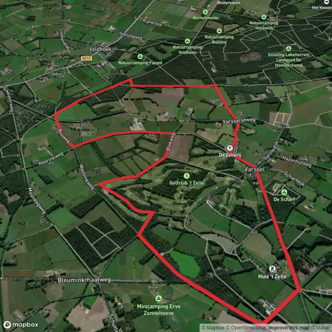
9.9 km
~1 hrs 59 min
8 m
Loop
“Winding through ancient forests and vibrant landscapes, the Varsel Route dazzles with nature’s artistry and quiet wonder.”
The Varsel Route is a scenic hiking trail located in the picturesque region of Västerbotten County, Sweden. Spanning approximately 10 kilometers (6.2 miles) with minimal elevation gain, this trail offers an accessible and enjoyable experience for hikers of all skill levels.
Getting There
The trailhead is situated near the town of Vindeln, a charming locality known for its natural beauty. To reach Vindeln, travelers can take a train via SJ or Norrtåg services, which connect major cities to this region. Upon arrival at Vindeln Station, the trailhead is conveniently located about one kilometer (0.6 miles) away, making it easily accessible on foot.
Trail Overview
Beginning at the Fritidscentrum in Vindeln, the Varsel Route meanders through diverse landscapes, including dense spruce and pine forests, serene lakes, and gently rolling hills. The well-marked path is adorned with orange paint on trees and posts, ensuring straightforward navigation.
Natural Highlights
As you embark on the trail, you'll traverse the Ekopark Skatan, a protected area renowned for its ancient pine stands and rich biodiversity. The park encompasses several nature reserves, such as Djupvik, Kammen, Skärträskberget, and the Valfrid Paulsson Reserve, each offering unique flora and fauna.
Approximately halfway through the hike, consider taking a short detour to Lerfallet, home to Västerbotten’s intriguing mud volcanoes. After periods of rainfall, these natural formations become active, providing a fascinating spectacle for visitors. ([swedishtouristassociation.com](https://www.swedishtouristassociation.com/trails/the-isalvsleden-trail/?utm_source=openai))
Wildlife and Flora
The region is teeming with wildlife, including moose, deer, and various bird species. During the summer months, the trail is lined with an abundance of blueberries and lingonberries, offering hikers a delightful treat.
Historical Significance
The landscape along the Varsel Route has been dramatically shaped by the last Ice Age, resulting in impressive eskers, kettle holes, and Sweden’s largest sand dune. These geological features provide insight into the region's glacial history and are a testament to the powerful natural forces that have sculpted the terrain over millennia.
Practical Information
While the trail is relatively short and can be completed in a few hours, it's advisable to carry sufficient water and snacks, as amenities along the route are limited. For navigation, the HiiKER app offers detailed maps and trail information, ensuring a safe and informed hiking experience.
Whether you're seeking a leisurely walk through serene forests or an opportunity to explore unique geological formations, the Varsel Route provides a memorable hiking experience in the heart of Sweden's natural beauty.

Surfaces
Sand
Asphalt
Unknown
Unpaved
Concrete
Comments and Reviews
User comments, reviews and discussions about the Varsel Route, Netherlands.
average rating out of 5
0 rating(s)