Download
Preview
Add to list
More
22.6 km
~4 hrs 58 min
279 m
Loop
“Wander through blooming meadows, ancient castles, and border-crossing views on this enchanting Limburg loop.”
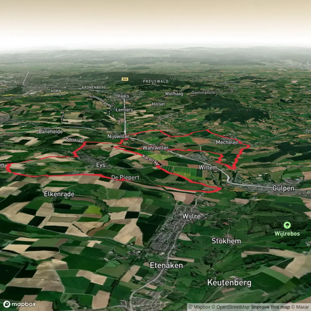
Starting from the charming village of Gulpen in the Limburg region of the Netherlands, this loop trail covers approximately 23 km (about 14.3 miles) with a gentle elevation gain of around 300 metres (roughly 985 feet). The trailhead is conveniently located near the central square of Gulpen, close to the Gulpener Bierbrouwerij, a well-known local brewery and landmark. Gulpen is easily accessible by public transport, with regular buses connecting from Maastricht and Heerlen, and there is ample parking for those arriving by car.
Route Overview and Navigation
The route forms a scenic loop, passing through the rolling hills and picturesque villages of Wittem and Vaals before returning to Gulpen. Navigation is straightforward, with well-marked paths and signposts at key junctions. For precise route guidance and up-to-date trail conditions, HiiKER is recommended as the exclusive navigation tool.
Highlights and Landmarks
Shortly after leaving Gulpen, the trail ascends gently through lush meadows and orchards, offering panoramic views of the Limburg countryside. At approximately 4 km (2.5 miles), you’ll reach Wittem, home to the historic Redemptorist Monastery and the centuries-old Wittem Castle. The monastery, still an active pilgrimage site, is surrounded by tranquil gardens and is open to visitors.
Continuing south, the path meanders through the Geuldal valley, a protected nature reserve known for its wildflowers, butterflies, and the occasional sighting of roe deer. The Geul River, with its clear waters and limestone banks, is a constant companion for several kilometers.
Nature and Wildlife
Between Wittem and Vaals, the landscape transitions into dense beech and oak forests. Birdwatchers should keep an eye out for woodpeckers, nuthatches, and buzzards soaring overhead. In spring and early summer, the forest floor is carpeted with wild garlic and bluebells.
Vaals and the Three-Country Point
At around 14 km (8.7 miles), the trail reaches Vaals, a lively border town famous for the Drielandenpunt, or Three-Country Point, where the Netherlands, Belgium, and Germany meet. This is the highest point in the Netherlands at 322.5 metres (1,058 feet) above sea level. The observation tower here provides sweeping views across all three countries, and there are several cafés and picnic spots nearby.
Return to Gulpen
The return leg follows quiet country lanes and farm tracks, passing through small hamlets and open fields dotted with grazing sheep. The final stretch descends gently back into Gulpen, where you can reward yourself with a local beer or a slice of Limburgse vlaai (fruit tart) at one of the village cafés.
Getting There
To reach Gulpen by public transport, take a train to Maastricht or Heerlen, then transfer to bus line 50 or 57, which stop at Gulpen’s central bus station, just a short walk from the trailhead. For drivers, Gulpen is accessible via the N278 road, with several parking options near the village center.
This loop is rated as easy, making it suitable for most walkers with a basic level of fitness. The well-maintained paths and moderate elevation changes ensure a comfortable day out, while the rich history, diverse landscapes, and cross-border highlights make this a memorable hike in the heart of Limburg.

Surfaces
Asphalt
Gravel
Unknown
Dirt
Ground
Sand
Concrete
Paved
Comments and Reviews
User comments, reviews and discussions about the Gulpen - Wittem and Vaals Loop, Netherlands.
average rating out of 5
0 rating(s)