Download
Preview
Add to list
More
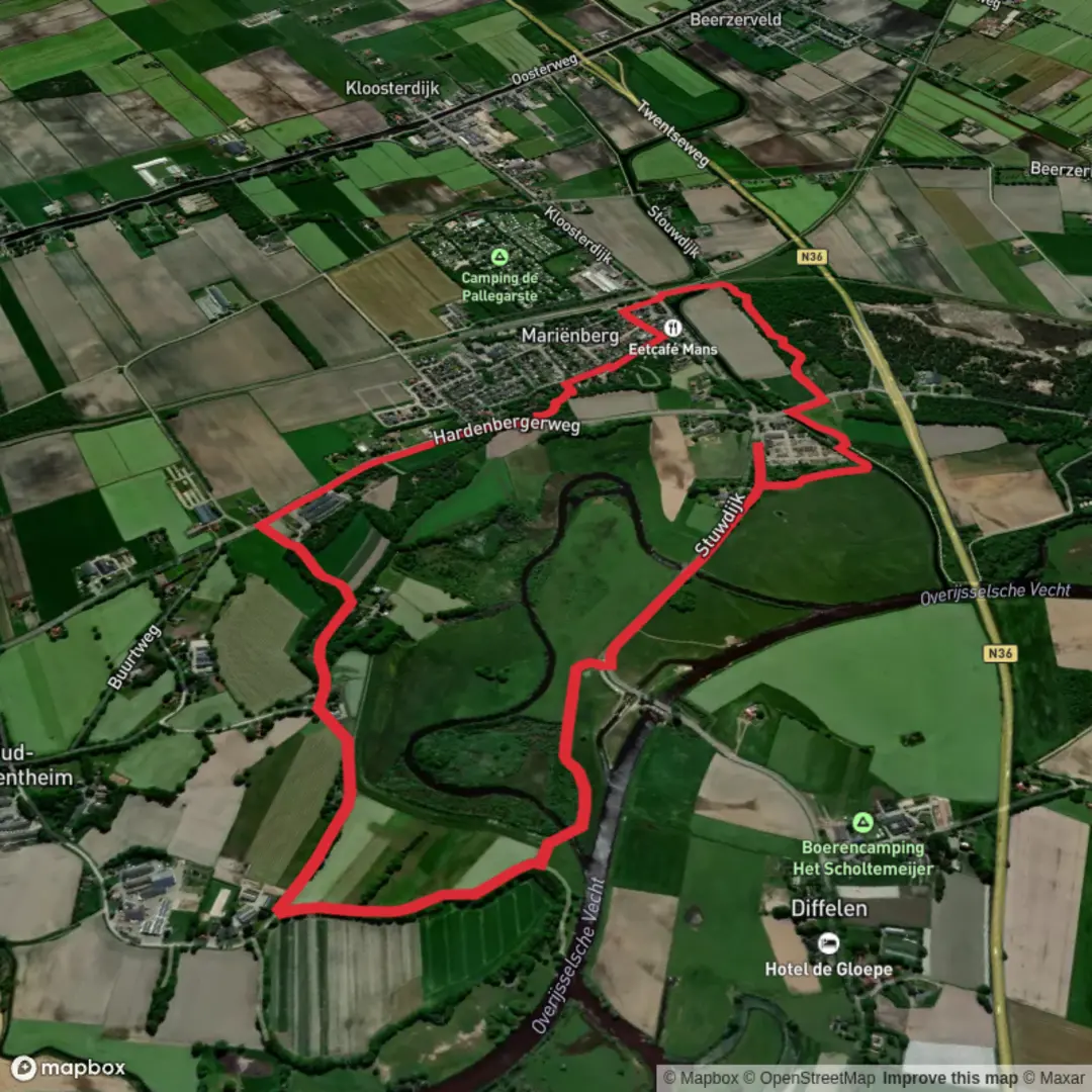
6.2 km
~1 hrs 14 min
0 m
Loop
“Wander through meadows and woodlands, soaking in river views and the timeless charm of Vechtdal.”
Embarking on the Distelbelt and De Vierstee via Vechtdalpad offers a delightful 6-kilometer (approximately 3.7 miles) journey through the serene landscapes of the Overijssel province in the Netherlands. With virtually no elevation gain, this easy trail is perfect for hikers of all levels seeking to immerse themselves in the natural beauty and historical charm of the Vechtdal region.
Trailhead and Access
The hike begins near the village of Bergentheim, accessible by both car and public transport. For those driving, parking is available near the Rheezerweg in Bergentheim. If opting for public transport, Bergentheim is served by a train station with connections from major cities like Zwolle. From the station, it's a short walk to the trailhead.
Route Overview
Starting from Bergentheim, the trail follows a segment of the Vechtdalpad, a renowned long-distance path that traces the course of the Overijsselse Vecht River. The route meanders through a mix of lush meadows, dense woodlands, and along the riverbanks, offering a diverse walking experience.
Key Highlights Along the Trail
- Distelbelt Observation Hill: Approximately 2 kilometers (1.2 miles) into the hike, you'll encounter the Distelbelt, a 7-meter-high (23 feet) observation hill. Accessible via stairs, the summit provides panoramic views over the Vecht Valley, showcasing the river's winding path and the surrounding countryside. Informational plaques at the top delve into the history and significance of the Vecht River in the region. ([fietsnetwerk.nl](https://www.fietsnetwerk.nl/en/places/lookout-hill-distelbelt-bergentheim/?utm_source=openai))
- De Vierstee: Continuing along the trail, you'll reach De Vierstee, a charming area known for its traditional Dutch farmhouses and tranquil rural atmosphere. This section of the hike offers a glimpse into the agricultural heritage of the region, with well-preserved buildings and scenic landscapes.
Flora and Fauna
The Vechtdal region is rich in biodiversity. As you traverse the trail, keep an eye out for various bird species, including kingfishers and herons, especially near the riverbanks. The woodlands are home to deer and foxes, while the meadows bloom with wildflowers during the spring and summer months.
Historical Significance
The Overijsselse Vecht River has played a pivotal role in the region's history, serving as a vital trade route between the Netherlands and Germany. The surrounding areas are dotted with castles, estates, and fortified towns that bear witness to this rich past. The Vechtdalpad itself is often referred to as one of the most beautiful long-distance trails in the Netherlands, offering hikers a journey through both natural beauty and cultural heritage. ([alltrails.com](https://www.alltrails.com/trail/netherlands/overijssel/vechtdalpad-2?utm_source=openai))
Navigation and Planning
For detailed maps and navigation assistance, consider using HiiKER, which provides comprehensive information on the Vechtdalpad and its segments. It's advisable to check the latest trail conditions and any potential closures before setting out, as certain sections may undergo maintenance or be affected by seasonal changes.
Getting There
- By Car: From Zwolle, take the N34 towards Hardenberg, then follow signs to Bergentheim. Parking is available near the Rheezerweg.
- By Public Transport: Trains run regularly from Zwolle to Bergentheim. From the Bergentheim train station, the trailhead is within walking distance.
Embarking on this hike provides a harmonious blend of natural beauty, wildlife observation, and a touch of history, making it a rewarding experience for all who traverse its path.

Surfaces
Unknown
Asphalt
Grass
Ground
Concrete
Sand
Wood
Comments and Reviews
User comments, reviews and discussions about the Distelbelt and De Vierstee via Vechtdalpad, Netherlands.
average rating out of 5
0 rating(s)