Download
Preview
Add to list
More
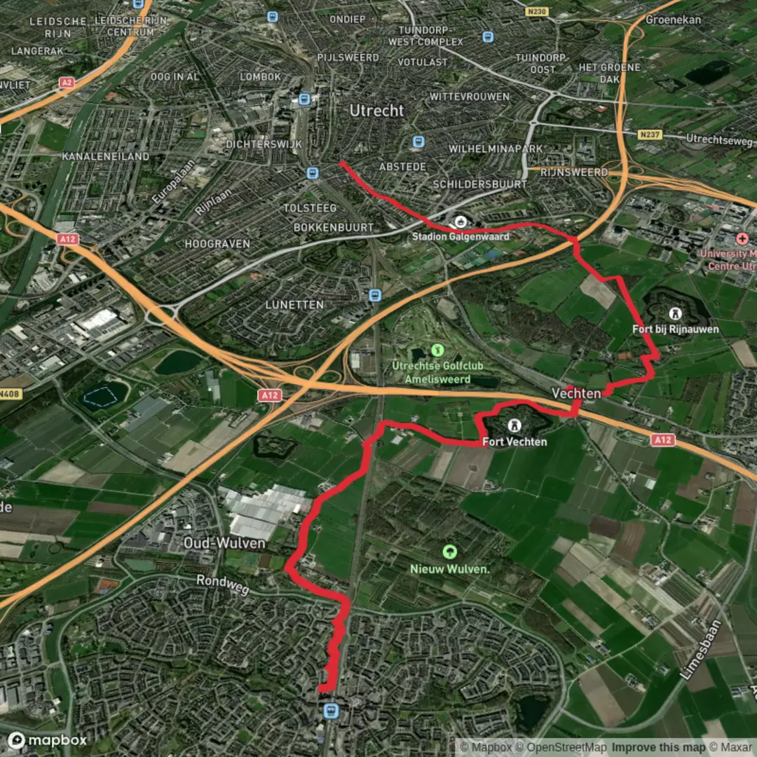
11.1 km
~2 hrs 13 min
7 m
Point-to-Point
“Meandering beside blossoming orchards and ancient riverbanks, this gentle walk weaves nature with Roman history.”
Starting from the charming town of Houten, this 11 km (about 6.8 miles) route to Sint Maarten follows the scenic Kromme Rijnpad, a flat riverside path with virtually no elevation gain, making it accessible for hikers of all abilities. The trailhead is conveniently located near Houten Castellum railway station, which is easily reached by frequent trains from Utrecht Centraal (a journey of about 10 minutes). For those arriving by car, parking is available at the station or in nearby residential areas.
Getting Oriented and Setting Out
The Kromme Rijnpad traces the meandering Kromme Rijn river, a waterway steeped in history as part of the ancient Roman Limes, the northern frontier of the Roman Empire. The path begins near the modern amenities of Houten but quickly transitions into a tranquil, rural landscape. Early on, you’ll pass through leafy suburbs before the scenery opens up to wide meadows and orchards, especially beautiful in spring when fruit trees blossom.
Landmarks and Points of Interest
At approximately 2 km (1.2 miles), you’ll encounter the first of several historic farmsteads, many of which date back centuries and are still in use today. Keep an eye out for traditional Dutch windmills and the occasional stork’s nest perched atop old chimneys. The Kromme Rijn itself is a haven for waterfowl—herons, kingfishers, and swans are common sights along the banks.
Around the halfway mark, near the hamlet of Odijk, the trail passes close to the ruins of a Roman watchtower, a subtle but significant reminder of the region’s strategic importance in antiquity. Interpretive signs provide context about the Roman Limes and the river’s role in trade and defense.
Nature and Wildlife
The path is lined with willows, poplars, and wildflowers, attracting butterflies and bees throughout the warmer months. The riverbanks are lush with reeds and water plants, and you may spot roe deer grazing at dawn or dusk. The area is managed for both agriculture and conservation, so expect a patchwork of fields, orchards, and protected wetlands.
Navigation and Facilities
The Kromme Rijnpad is well-marked, but for detailed navigation and up-to-date trail conditions, use HiiKER. There are several benches and picnic spots along the way, particularly near the river bends, offering peaceful places to rest. Public toilets are available at the start in Houten and at cafes in Odijk, but facilities are limited elsewhere, so plan accordingly.
Approaching Sint Maarten
The final stretch leads you through quiet countryside before arriving at Sint Maarten, a small village with a picturesque church and a handful of local eateries. Bus connections from Sint Maarten can return you to Houten or onward to Utrecht, making this a convenient point-to-point hike.
This route is ideal for those seeking a gentle walk rich in natural beauty and historical intrigue, with easy logistics and plenty of opportunities to enjoy the Dutch countryside.

Surfaces
Asphalt
Unknown
Unpaved
Gravel
Grass
Concrete
Dirt
Wood
Cobblestone
Comments and Reviews
User comments, reviews and discussions about the Houten to Sint Maarten via Kromme Rijnpad, Netherlands.
average rating out of 5
0 rating(s)