Download
Preview
Add to list
More
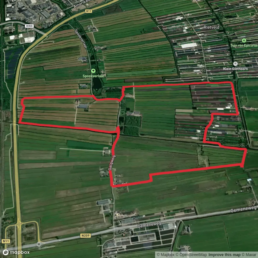
8.1 km
~1 hrs 37 min
0 m
Loop
“Wander through lush polders, wild horses, and shimmering wetlands on a tranquil loop steeped in Dutch history.”
Starting from the outskirts of Lelystad, the Oostvaart Route is a gentle, flat loop of approximately 8 km (5 miles) with virtually no elevation gain, making it accessible for hikers of all abilities. The trailhead is conveniently located near the Lelystad Nature Park, a well-known local landmark, and is easily reached by public transport from Lelystad Centrum train station. From the station, local buses or a short taxi ride will bring you directly to the park entrance, where ample parking is also available for those arriving by car.
Trail Overview and Navigation
The Oostvaart Route meanders through the lush, reclaimed landscapes of Flevoland, a province renowned for its unique history as land once submerged beneath the Zuiderzee. The trail is well-marked and maintained, with wide, even paths suitable for walking, running, or cycling. For navigation, HiiKER provides detailed maps and GPS tracks, ensuring you stay on course throughout the journey.
Landmarks and Points of Interest
Early in the hike, you’ll pass through the Lelystad Nature Park, a haven for wildlife and a great spot for birdwatching. Keep an eye out for herons, storks, and the occasional roe deer grazing in the open meadows. The park is also home to a herd of Konik horses, which roam freely and contribute to the natural management of the landscape.
About 3 km (1.9 miles) in, the route skirts the edge of the Oostvaardersplassen, a vast wetland reserve famous for its dramatic scenery and rich biodiversity. This area is a highlight for nature enthusiasts, offering panoramic views over reed beds and shallow lakes teeming with waterfowl. Observation points along the trail provide excellent opportunities for photography and quiet reflection.
Historical and Natural Significance
Flevoland, including the area traversed by the Oostvaart Route, is the largest artificial island in the world, created during the ambitious Zuiderzee Works in the mid-20th century. The transformation from sea to fertile polder is a testament to Dutch engineering and water management. Interpretive signs along the route share insights into the region’s history, from ancient peat bogs to modern conservation efforts.
Trail Conditions and Preparation
With a total elevation gain of less than 5 metres (16 feet), the Oostvaart Route is rated as easy and is suitable for families, beginners, and those seeking a leisurely day outdoors. The paths are mostly gravel or compacted earth, and sturdy walking shoes are recommended, especially after rain when sections may become muddy. There are several benches and picnic spots along the way, as well as restrooms at the nature park entrance.
Wildlife and Flora
Spring and summer bring a burst of wildflowers and butterflies, while autumn is marked by migrating birds stopping over in the wetlands. The open fields and wooded patches support a variety of small mammals and songbirds, making this route a rewarding choice for wildlife observation year-round.
For those planning their hike, HiiKER offers up-to-date trail information, route maps, and user reviews to help you prepare for a safe and enjoyable experience on the Oostvaart Route.

Surfaces
Asphalt
Grass
Paved
Unpaved
Unknown
Comments and Reviews
User comments, reviews and discussions about the Oostvaart Route, Netherlands.
average rating out of 5
0 rating(s)