Download
Preview
Add to list
More
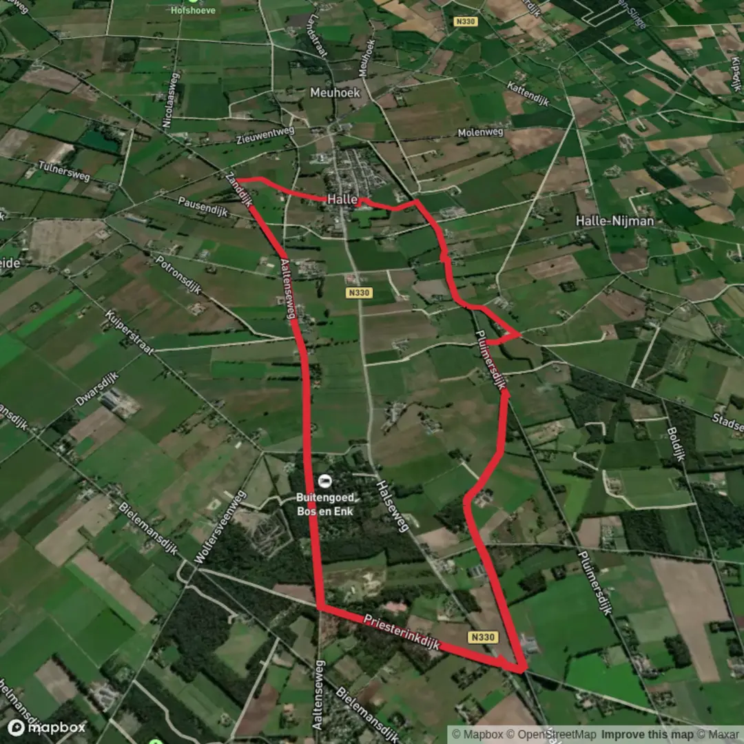
9.3 km
~1 hrs 51 min
0 m
Loop
“Wander golden fields and woodland edges, where history whispers and wildflowers brighten the heart of Gelderland.”
Starting from the outskirts of Aalten, a charming Dutch town near the German border, this 9 km (about 5.6 miles) loop offers a gentle, flat walk through the rural heart of Gelderland. With virtually no elevation gain, it’s ideal for those seeking a leisurely day outdoors, families, or anyone new to hiking. The trailhead is conveniently located near the Aalten railway station, making it easily accessible by train from cities like Arnhem or Winterswijk. For those arriving by car, parking is available at the station or in the town center.
Getting Oriented and Navigation
The route is best navigated using the HiiKER app, which provides up-to-date trail maps and waypoints. The path follows a mix of quiet country lanes—Bocholtseweg and Aaltenseweg—interspersed with stretches of farm tracks and woodland edges. Signage is generally good, but a digital map ensures you won’t miss any turns, especially at intersections with local cycling routes.
Landscape and Points of Interest
The landscape is quintessential Achterhoek: open fields bordered by hedgerows, patches of mixed woodland, and the occasional thatched farmhouse. Early in the walk, you’ll pass close to the historic center of Aalten, where cobbled streets and brick facades hint at the town’s medieval roots. The area played a notable role during World War II, with several local farms and houses serving as hiding places for those fleeing persecution. The Aaltense Musea, about 1 km (0.6 miles) from the trailhead, is worth a detour for its exhibits on local resistance and rural life.
Nature and Wildlife
Spring and summer bring wildflowers to the field margins, and the hedgerows are alive with birdsong—look for yellowhammers, blackcaps, and the occasional kestrel hovering above the meadows. Roe deer are sometimes seen at dawn or dusk, especially near the wooded sections between Bocholtseweg and Aaltenseweg. In autumn, the woodlands are rich with fungi, and the changing leaves add a golden hue to the landscape.
Trail Conditions and Facilities
The route is almost entirely flat, with well-maintained paths suitable for sturdy walking shoes or even trainers in dry weather. After rain, some farm tracks may become muddy, so waterproof footwear is advisable. There are benches at intervals along the way, particularly near small chapels and roadside shrines that dot the countryside. Public toilets and cafés can be found in Aalten at the start and end of the hike.
Planning Your Visit
Trains to Aalten run regularly from Arnhem and Winterswijk, with the station just a short walk from the trail’s starting point. If driving, set your navigation to Stationsplein, Aalten for the nearest parking. The trail is open year-round, but spring and autumn offer the most vibrant scenery. Dogs are welcome but should be kept on a leash near livestock and in nature reserves.
For precise navigation and up-to-date trail conditions, download the route on HiiKER before setting out.

Surfaces
Unknown
Sand
Asphalt
Comments and Reviews
User comments, reviews and discussions about the Bocholtse Weg and Aaltense Weg, Netherlands.
average rating out of 5
0 rating(s)