Download
Preview
Add to list
More
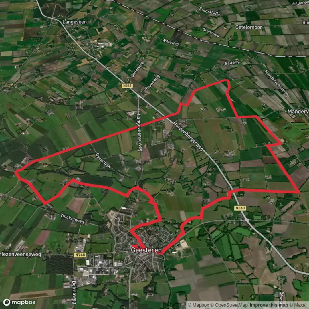
15.8 km
~3 hrs 9 min
0 m
Loop
“Wander through timeless meadows and historic farmsteads where Dutch and German cultures beautifully entwine.”
Starting from the outskirts of the charming village of Winterswijk, in the eastern Netherlands, this 16 km (about 10 miles) loop hike offers a gentle, flat journey through a landscape shaped by centuries of agriculture, water management, and cross-border culture. With virtually no elevation gain, it’s an ideal route for those seeking a leisurely day outdoors, suitable for families, casual walkers, and anyone interested in the unique blend of Dutch and German countryside.
Getting There
The trailhead is conveniently located near the Winterswijk train station, making it easily accessible by public transport. Direct trains from Arnhem and Zutphen connect to Winterswijk, and local buses serve the area as well. For those arriving by car, parking is available at or near the station and in the village center, with clear signage directing visitors to trail access points.
Trail Experience and Navigation
The route follows a combination of the Broekbeek Weg and Volmers Weg, two historic rural paths that wind through open meadows, small woodlands, and alongside tranquil streams. The terrain is predominantly flat, with well-maintained gravel and dirt paths, making it accessible year-round. Navigation is straightforward, but for added confidence and up-to-date trail conditions, hikers should use the HiiKER app, which provides detailed mapping and waypoint information.
Landmarks and Points of Interest
- Broekbeek Stream: Early in the hike, the path parallels the Broekbeek, a small watercourse that has historically played a vital role in draining the surrounding peatlands. The streamside is rich in birdlife, especially during spring and autumn migrations, with chances to spot herons, kingfishers, and various waterfowl. - Historic Farmsteads: Scattered along the route are traditional Saxon farmhouses, some dating back to the 18th and 19th centuries. These structures, with their timber frames and thatched roofs, reflect the agricultural heritage of the Achterhoek region. - Volmers Weg: As the trail turns onto Volmers Weg, you’ll pass through a patchwork of fields and hedgerows, a landscape shaped by centuries of careful land division and management. In summer, wildflowers line the ditches, attracting butterflies and bees. - Borderland Culture: The proximity to the German border is evident in the bilingual place names and occasional border markers. This area was historically a zone of trade and exchange, and remnants of old customs posts can sometimes be seen near the route.
Nature and Wildlife
The flat, open terrain supports a variety of wildlife. Roe deer are often seen grazing at dawn and dusk, while the woodlands provide habitat for woodpeckers and tawny owls. The meadows are home to hares and, in wetter areas, frogs and newts. In spring, listen for the chorus of songbirds and watch for storks nesting on purpose-built platforms.
Practical Considerations
With a total distance of 16 km (10 miles) and no significant climbs, most walkers will complete the loop in 4–5 hours at a relaxed pace. There are several benches and picnic spots along the way, particularly near the Broekbeek and in shaded woodland sections. Winterswijk offers a range of cafes and shops for refreshments before or after your hike. Public toilets are available at the train station and in the village center.
The route is well-marked, but weather can affect the condition of some rural paths, especially after heavy rain. Waterproof footwear is recommended in winter and early spring. For navigation, trail updates, and offline maps, HiiKER is the recommended tool for this area.

Surfaces
Sand
Concrete
Unknown
Asphalt
Grass
Paved
Wood
Comments and Reviews
User comments, reviews and discussions about the Broekbeek Weg and Volmers Weg, Netherlands.
average rating out of 5
0 rating(s)