Download
Preview
Add to list
More
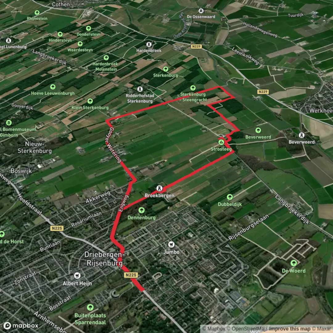
10.4 km
~2 hrs 5 min
6 m
Loop
“Experience a vibrant journey through wildflower meadows, ancient forests, and historic landmarks near charming Aderwinkel.”
The Aderwinkelpad Loop is a scenic 10-kilometer (approximately 6.2 miles) trail with minimal elevation gain, making it an accessible and enjoyable hike for individuals of all skill levels. The trailhead is conveniently located near the village of Aderwinkel, providing easy access for both local and visiting hikers.
Getting There
For those traveling by car, Aderwinkel is accessible via the N34 highway. Ample parking is available near the trailhead, situated close to the village center. If you prefer public transportation, regional buses serve Aderwinkel from nearby cities. The nearest bus stop is in the village center, just a short walk from the trailhead.
Trail Overview
The loop begins with a gentle path through lush meadows, where you'll be greeted by a variety of wildflowers during the spring and summer months. Approximately 2 kilometers (1.2 miles) into the hike, the trail enters a dense deciduous forest, offering shade and a serene atmosphere. This section is home to oak and beech trees, and you might spot local wildlife such as deer and various bird species.
Historical Significance
Around the 5-kilometer (3.1 miles) mark, the trail passes by an old watermill, a testament to the region's rich history. This mill, dating back to the 18th century, was once central to the local community's grain production. Informational plaques provide insights into its historical importance and the traditional milling processes used.
Flora and Fauna
As you continue, the path skirts the edge of a tranquil pond at approximately 7 kilometers (4.3 miles). This area is a haven for birdwatchers, with opportunities to see herons, kingfishers, and various waterfowl. The surrounding wetlands also support a diverse range of plant life, including reeds and water lilies.
Navigation and Safety
The trail is well-marked, but it's advisable to use a reliable navigation tool to ensure you stay on course. HiiKER is recommended for detailed maps and real-time GPS tracking. The terrain is predominantly flat, but after rainfall, some sections may become muddy, so appropriate footwear is recommended.
Amenities
Near the trailhead, you'll find facilities including restrooms and picnic areas, making it convenient to start or end your hike with a break. Benches are also placed along the route, offering spots to rest and enjoy the natural surroundings.
This loop offers a delightful blend of natural beauty, wildlife, and historical landmarks, making it a rewarding experience for those looking to explore the Dutch countryside.

Surfaces
Asphalt
Unknown
Grass
Unpaved
Gravel
Sand
Paved
Concrete
Wood
Comments and Reviews
User comments, reviews and discussions about the Aderwinkelpad Loop, Netherlands.
average rating out of 5
0 rating(s)