Download
Preview
Add to list
More
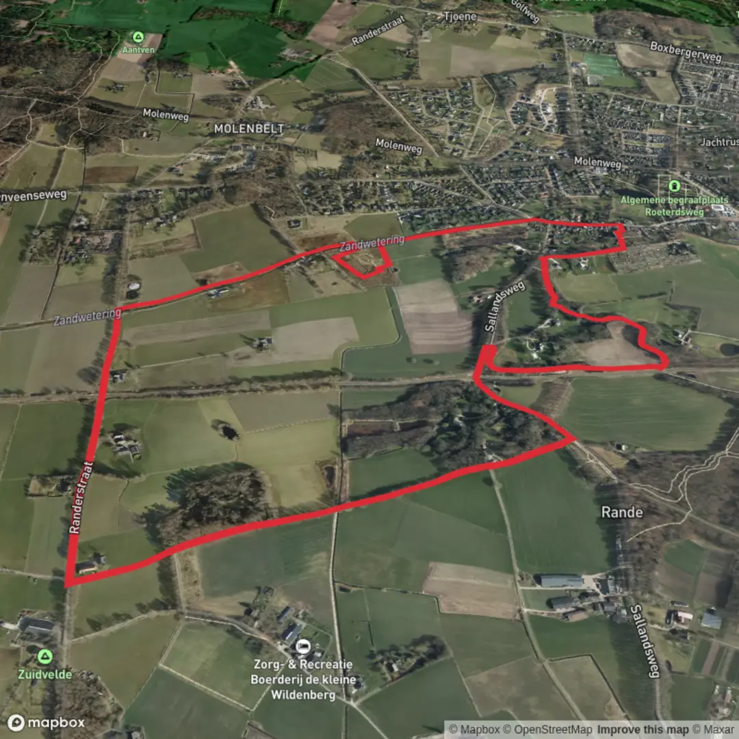
5.2 km
~1 hrs 2 min
7 m
Loop
“Wander from medieval streets to purple heathlands, where history and wild beauty gently intertwine.”
[Gemeente and Sallandpad Loop Trailhead](https://www.google.com/maps/search/Gemeente+and+Sallandpad+Loop+Trailhead?utm_source=openai)
Embarking on the Gemeente and Sallandpad Loop offers a delightful 5-kilometer (approximately 3.1 miles) journey through the picturesque landscapes of the Salland region in the Netherlands. With virtually no elevation gain, this easy loop is perfect for hikers of all levels seeking to immerse themselves in the area's natural beauty and historical charm.
Trailhead Location and Access
The trailhead is conveniently located near the historic Hanseatic city of Deventer, specifically at the corner of Stationsstraat and Singel. This central location makes it easily accessible for both local and visiting hikers. ([sallandseheuvelrug.nl](https://www.sallandseheuvelrug.nl/plan-je-bezoek/routes/518/Sallandpad/?utm_source=openai))
Getting There
- By Public Transport: Deventer is well-served by the Dutch railway network. Upon arriving at Deventer Central Station, the trailhead is just a short walk away. Exit the station onto Stationsstraat, and you'll find the starting point at the intersection with Singel.
- By Car: If you're driving, set your navigation to Stationsstraat, Deventer. Parking facilities are available in the vicinity, but it's advisable to check for any parking restrictions or fees.
Trail Overview
Starting from the bustling streets of Deventer, the loop quickly transitions into serene countryside paths, offering a harmonious blend of urban and rural experiences. The well-marked trail, indicated by green-blue signage, guides you through diverse terrains, including lush forests, open heathlands, and along the tranquil banks of the IJssel River.
Notable Landmarks and Points of Interest
- Deventer: As you begin your hike, take a moment to appreciate Deventer's rich history. As a former member of the Hanseatic League, the city boasts well-preserved medieval architecture, charming cobblestone streets, and vibrant marketplaces. ([sallandseheuvelrug.nl](https://www.sallandseheuvelrug.nl/plan-je-bezoek/routes/518/Sallandpad/?utm_source=openai))
- Sallandse Heuvelrug National Park: Midway through the loop, you'll traverse parts of this national park, renowned for its rolling hills and expansive heathlands. The park is a haven for wildlife enthusiasts, home to species like the rare black grouse and various songbirds. ([en.wikipedia.org](https://en.wikipedia.org/wiki/Sallandse_Heuvelrug_National_Park?utm_source=openai))
- Boetelerveld: This nature reserve is a highlight of the trail, known for its unique wet heathland ecosystem. The area supports a variety of plant species, including the carnivorous sundew, and offers a peaceful ambiance for hikers. ([sallandseheuvelrug.nl](https://www.sallandseheuvelrug.nl/plan-je-bezoek/routes/518/Sallandpad/?utm_source=openai))
Flora and Fauna
Throughout the hike, you'll encounter a diverse range of plant life. The heathlands are particularly striking in late summer when the heather blooms into a sea of purple. Forested sections are dominated by birch and oak trees, providing shade and a habitat for numerous bird species. Keep an eye out for roe deer, red foxes, and, if you're fortunate, the elusive European badger. ([nationalparksassociation.org](https://nationalparksassociation.org/netherlands-national-park/sallandse-heuvelrug-national-park/?utm_source=openai))
Historical Significance
The region is steeped in history, with remnants from various eras. The Palthetoren, for instance, served as a German command post during World War II. In April 1945, during liberation efforts, the tower was spared destruction when a resident displayed a white flag as a sign of surrender. ([sallandseheuvelrug.nl](https://www.sallandseheuvelrug.nl/plan-je-bezoek/routes/518/Sallandpad/?utm_source=openai))
Trail Conditions and Navigation
The path is predominantly flat and well-maintained, making it suitable for hikers of all ages. While the trail is clearly marked, it's advisable to use navigation tools like HiiKER to ensure you stay on course and to access additional trail information.
Preparation Tips
- Footwear: Comfortable walking shoes are sufficient, given the trail's easy terrain.
- Weather: The Netherlands can experience variable weather. It's wise to check the forecast and dress in layers to adapt to changing conditions.
- Amenities: While Deventer offers numerous facilities, parts of the trail pass through more remote areas. Carrying water and some snacks is recommended.
Embarking on the Gemeente and Sallandpad Loop provides a harmonious blend of natural beauty, wildlife encounters, and historical insights, making it a rewarding experience for any hiker.

Surfaces
Unknown
Sand
Asphalt
Gravel
Wood
Comments and Reviews
User comments, reviews and discussions about the Gemeente and Sallandpad Loop, Netherlands.
average rating out of 5
0 rating(s)